Showing 1-50 of 2,692 posts. Most recent first | Next 50     
|
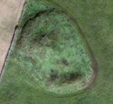
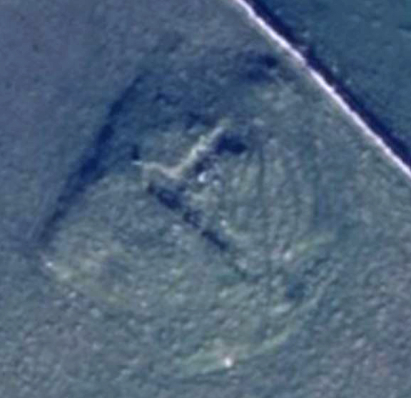
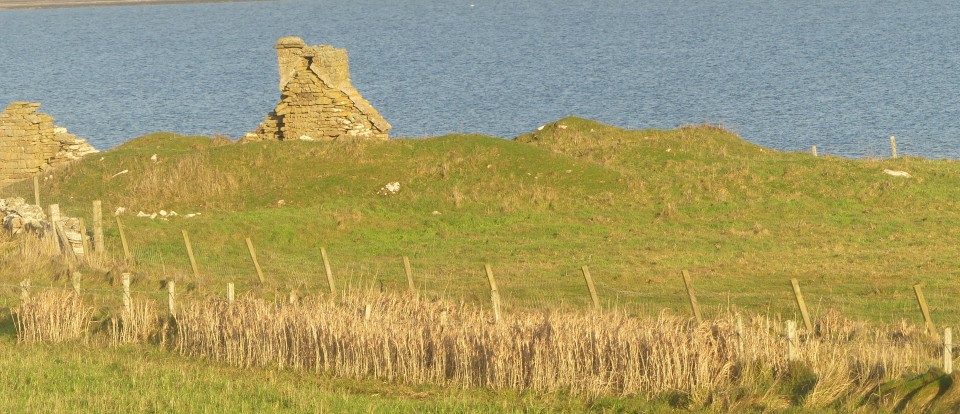
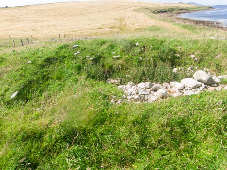
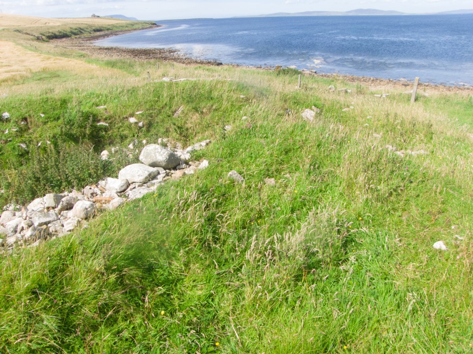
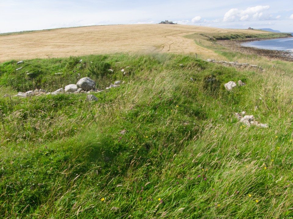
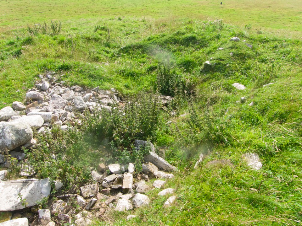
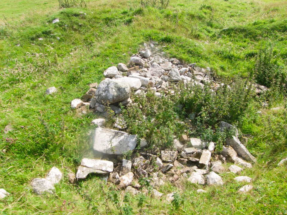
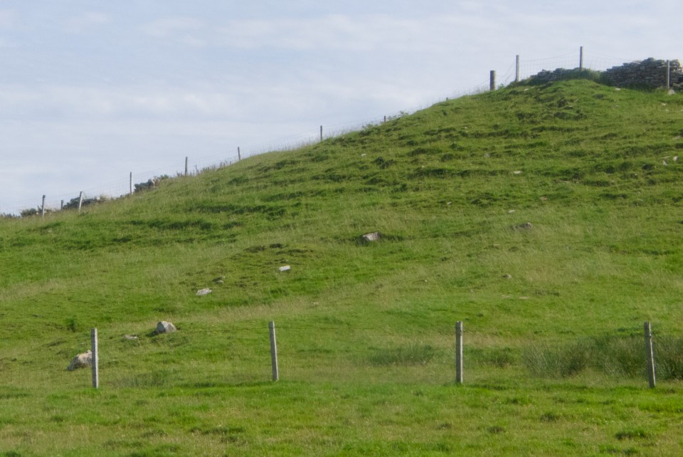
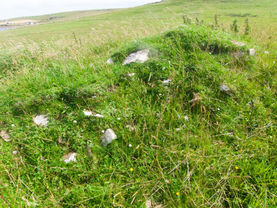
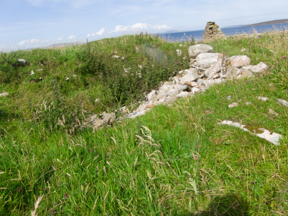
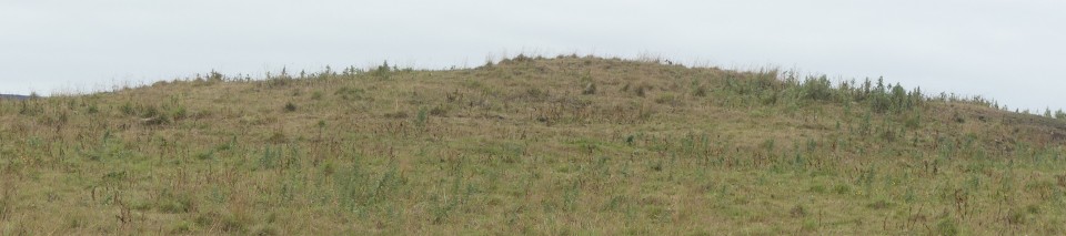
The Pict's House/Fort" on Howe Hill, aka the 'hillock Of Howe' – RCAHMS record no. HY51NW 5 on Howe Farm – was an amorphous mound prior to first excavation sometime before 1880. What can be seen of the knoll is roughly 50 by 40 yards and reaches 11’ 6” at the higher end.
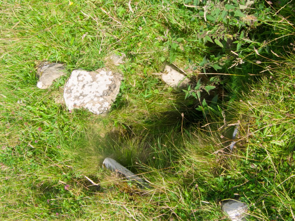
Excavation at the top revealed curving drystane walls, After excavation the structure was filled in, but there were still ruins visible in 1923. The Pict’s House structure is thought to be a broch, though a more recent opinion has it as more like an unenclosed settlement, A solstitial alignment to the Mor Stein to my mind indicates an earlier origin or purpose to the whole
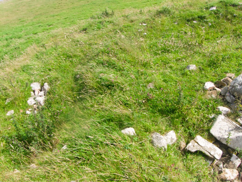
I could get to within a field of it all around and only saw a grassy mound. Having a large circular walk to finish I left it in peace.
|
|
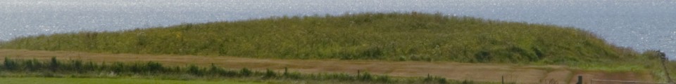
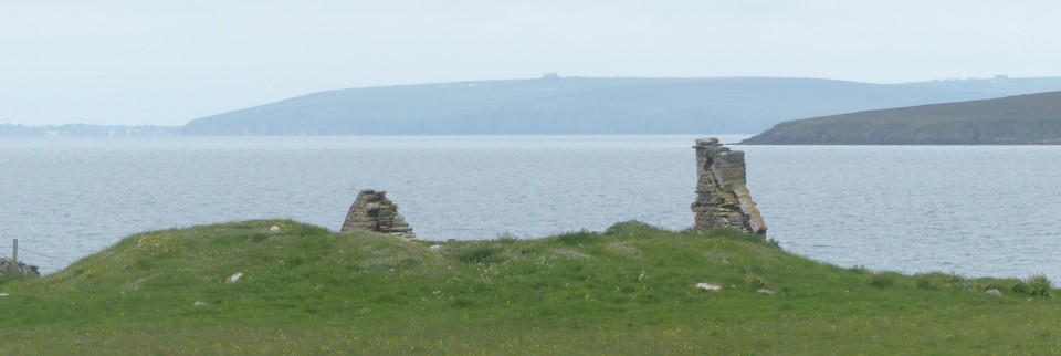
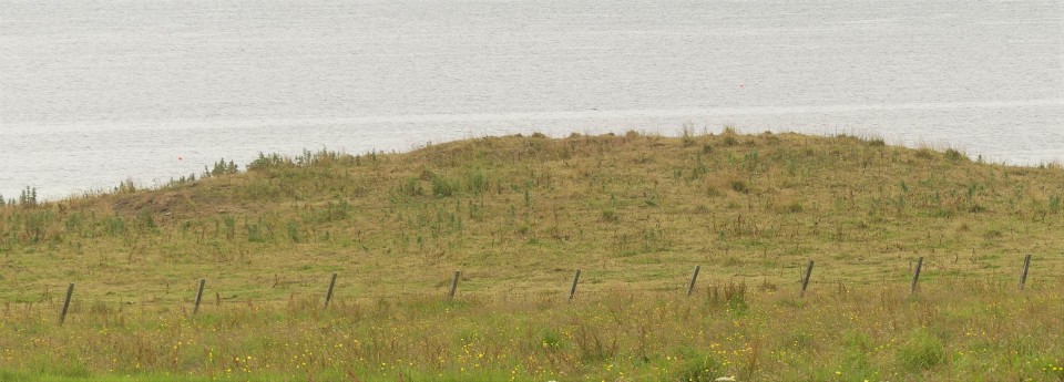
John Bews says "from the mound at Howe the sun rises on the longest day, I think, directly over this stone. Moor Stone may have been quarried some distance south-east of Castle Bloody..." Howe Hill https://canmore.org.uk/site/3097/shapinsay-hillock-of-howe as distinct from the Hillock of Howe
|

|

|
             
|
|
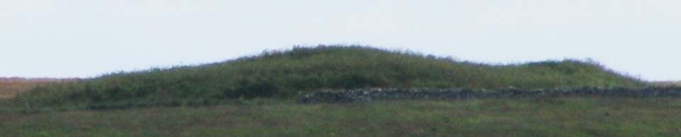
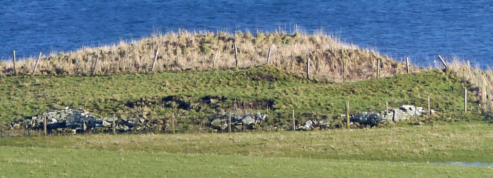
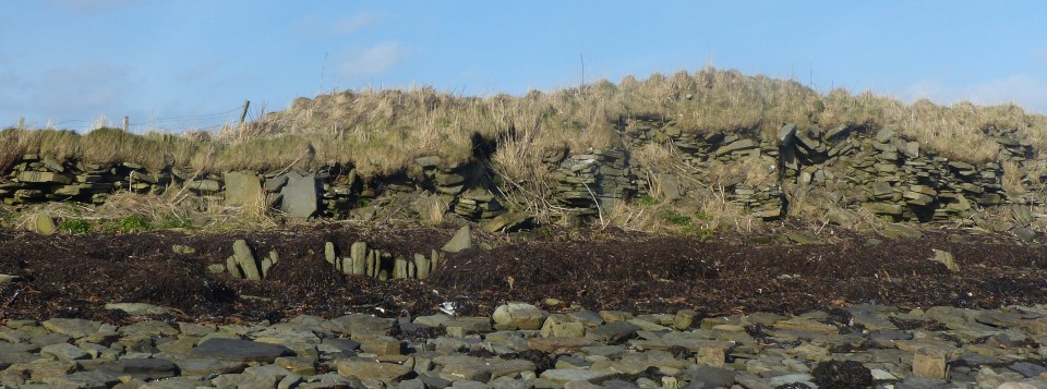
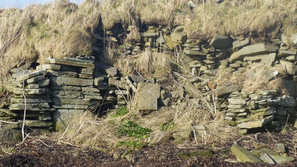
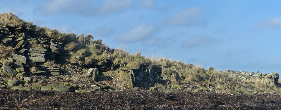
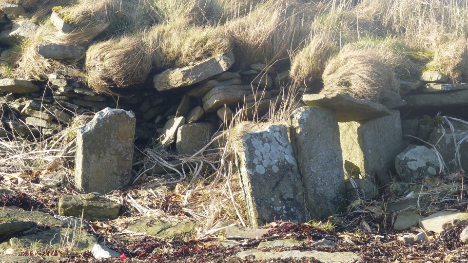
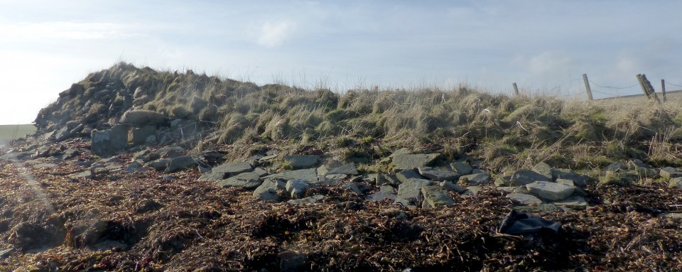
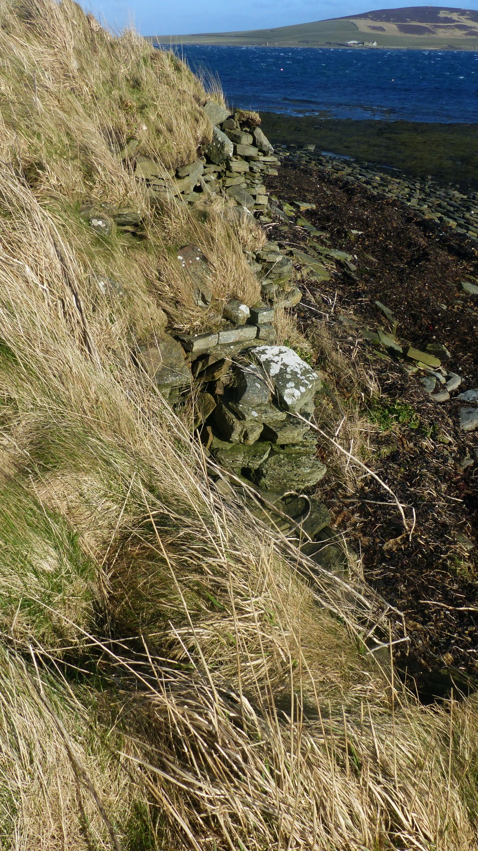
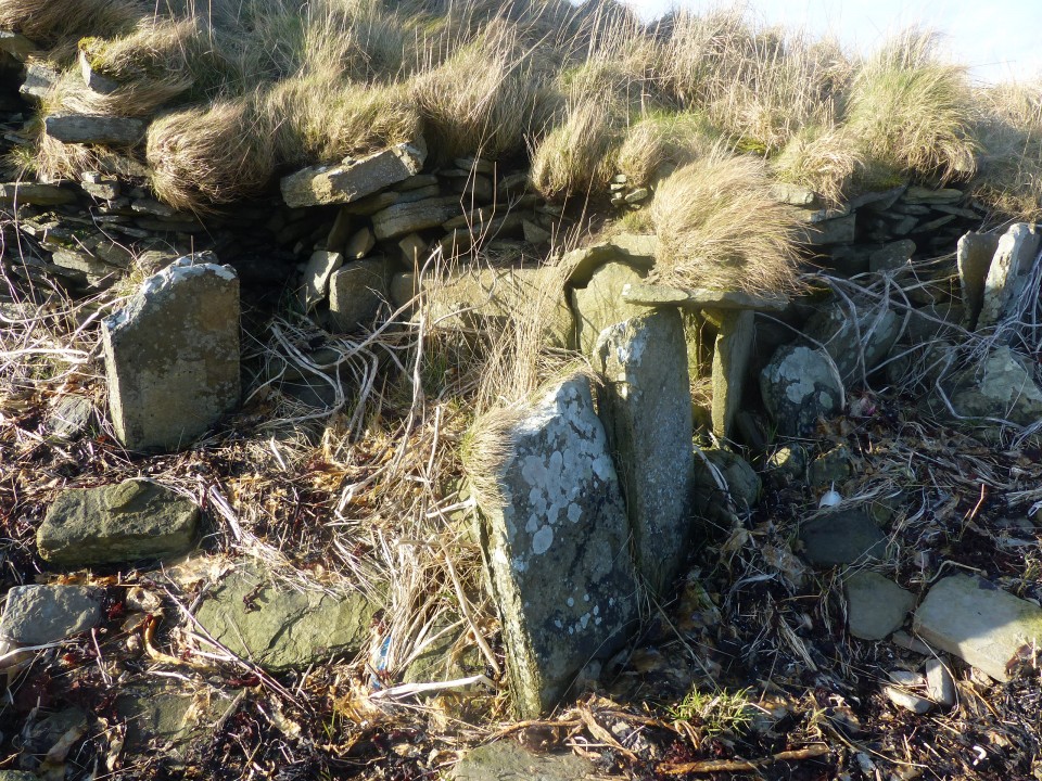
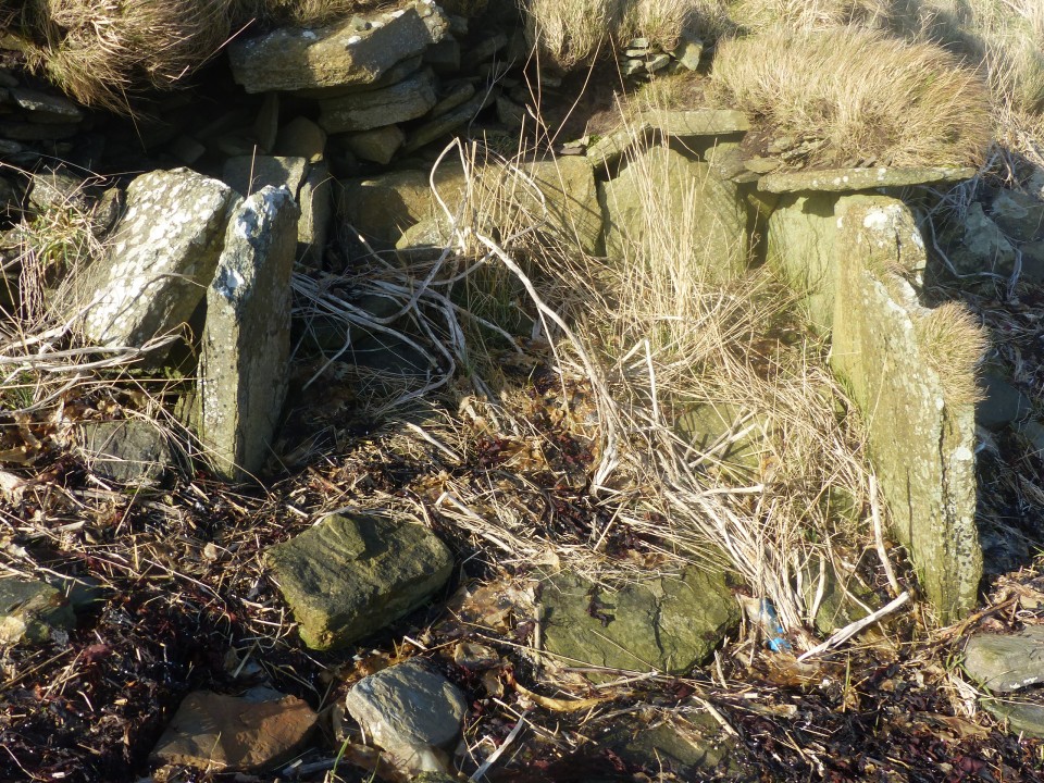
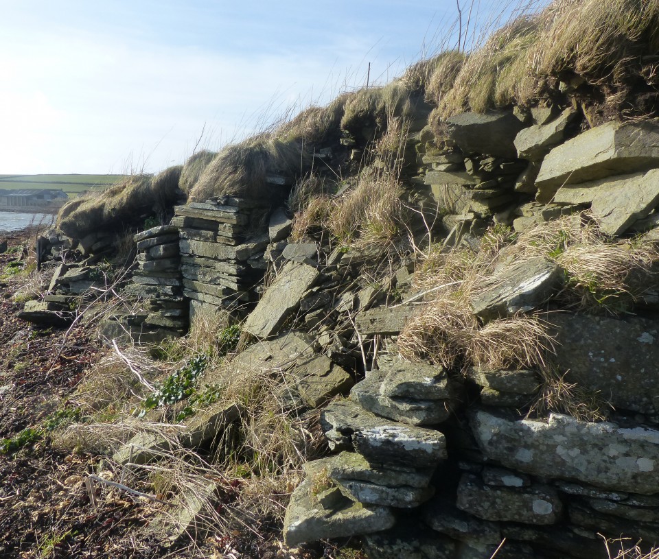
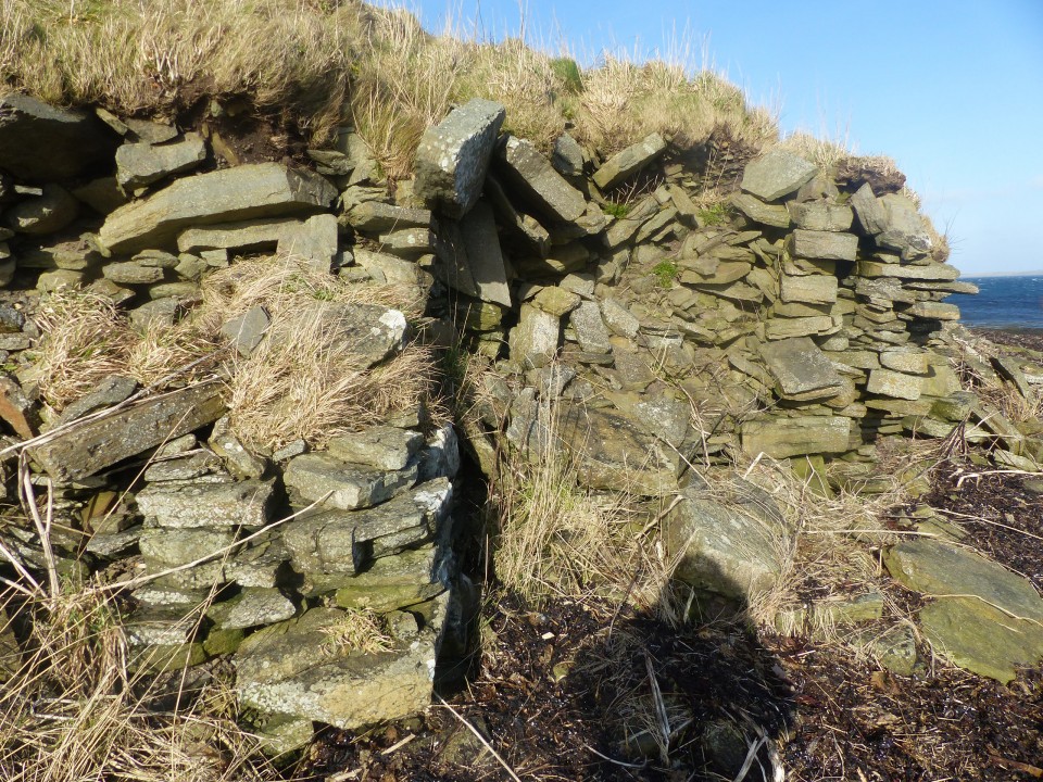
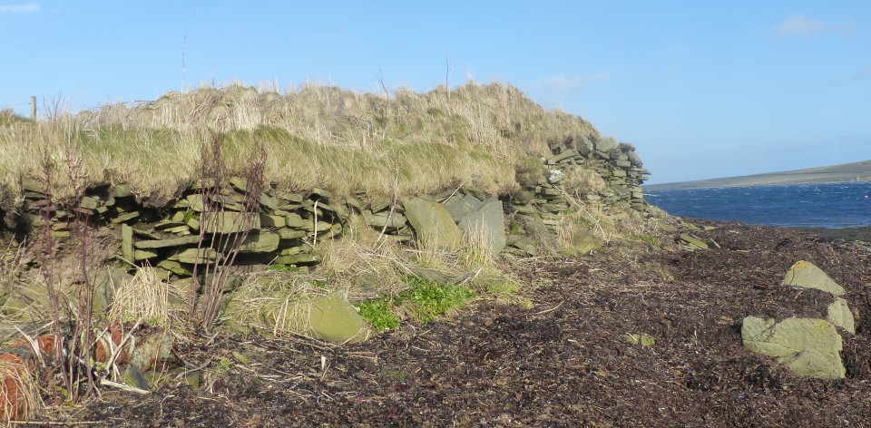
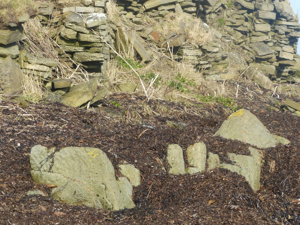
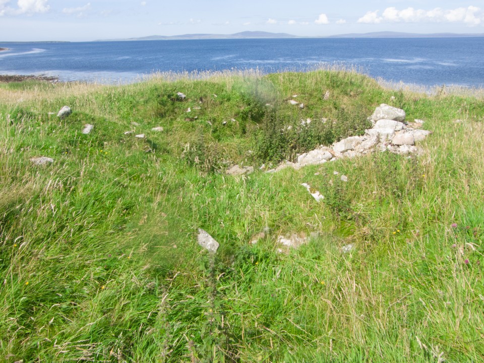
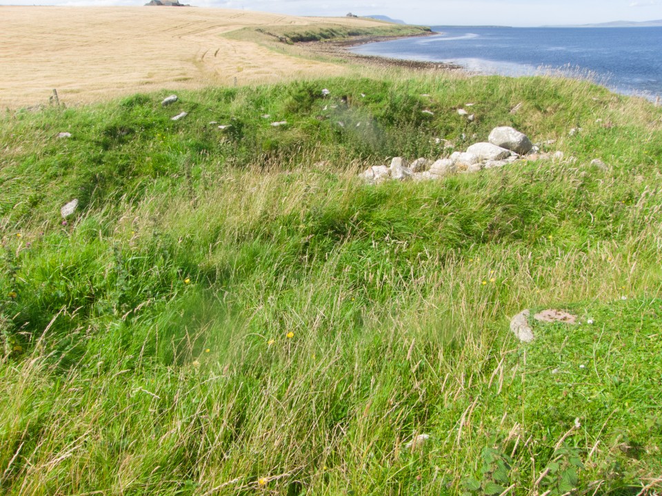
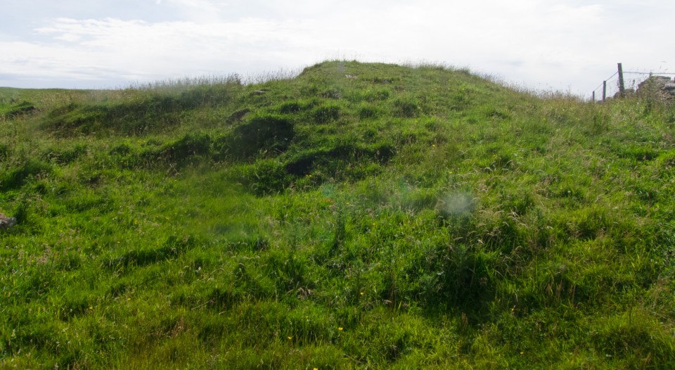
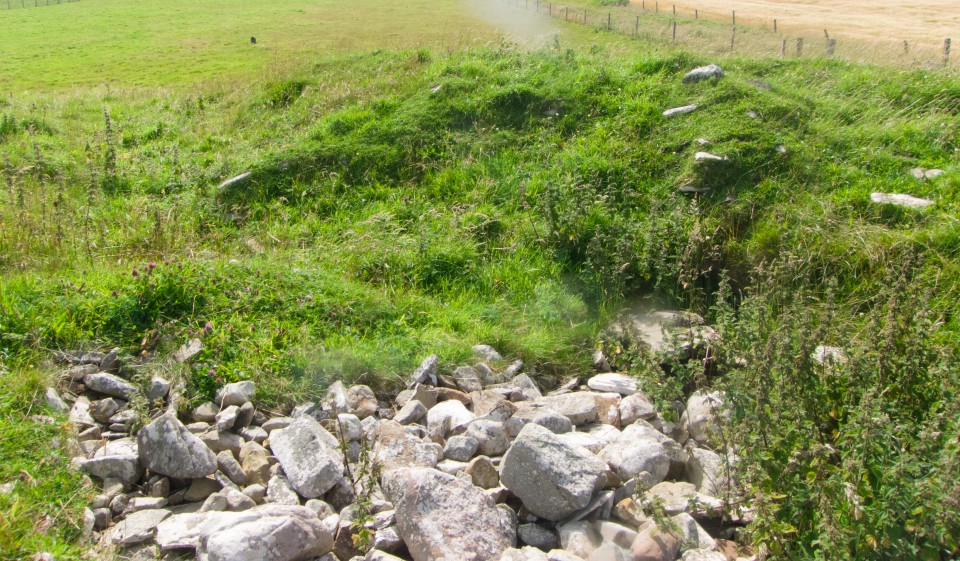
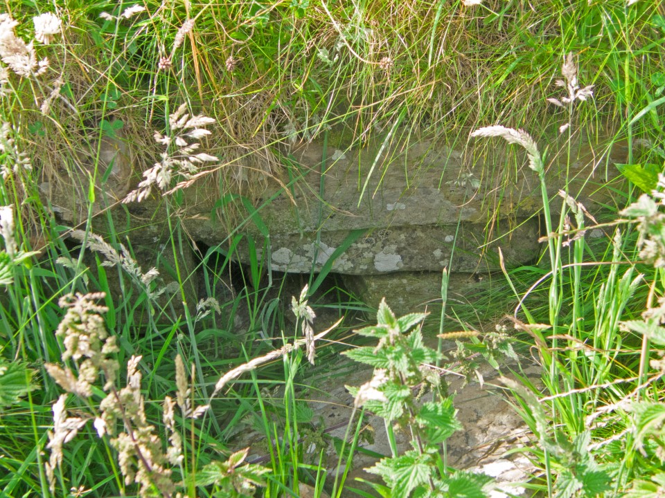
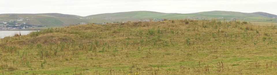
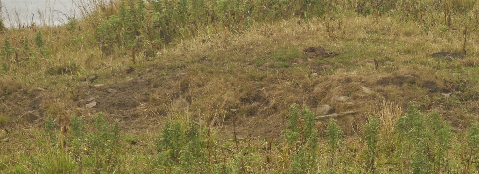
NMRS record no. HY 42SW 12. The way I went to the site requires low tide. By the Hall of Rendall the millburn enters the sea and you follow the shore from there. Some general features are apparent with a variety of construction techniques. It feels like the cliff isn’t natural but all mound material, and this appears to be born out by the rise to a low promontory at the N end close to the kirk site. Antiquarians deemed it a broch, though nowadays the more generic term of Atlantean roundhouse is preferred (“2 main sections of massive walling” with “coursed masonry and vertical slabs” seen as intra-mural). An alternative conjecture specifically related it to the Knowe of Nesthouse chambered mound, though the similarities strike me as superficial from a distance. From the main road you can make out the short arc feature between the field walls at the south end that shows on Canmap. If this were a roundhouse settlement you would expect more of these even with what is left of the site. If it is all we have of a broch tower perhaps the promontory is the outer bank for the outworks. We needn’t stick with any of the above, seeing it instead as a sequence of various Iron Age settlement types rendered higgledy-piggledy by time and erosion
|
| |