|
  
|
In connection with the fieldnotes that I wrote a year ago, this is a feature about access improvements to this site. It appears on the Heritage Journal and is reproduced here with Heritage Action's kind permission.
|
   
|
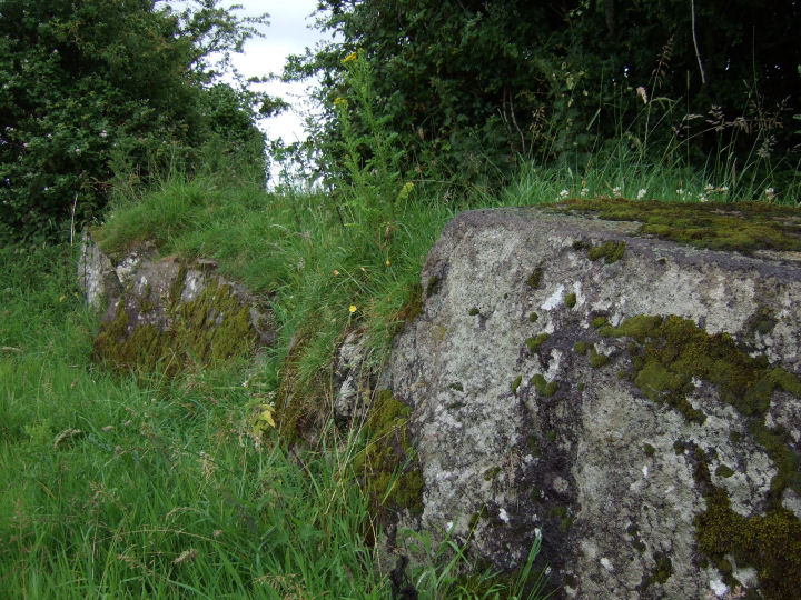
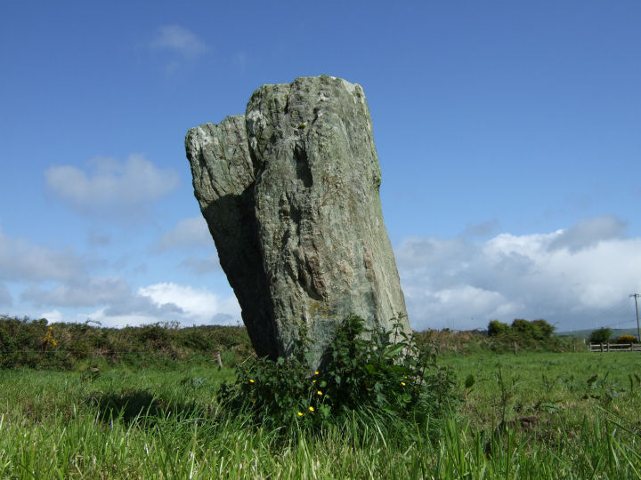
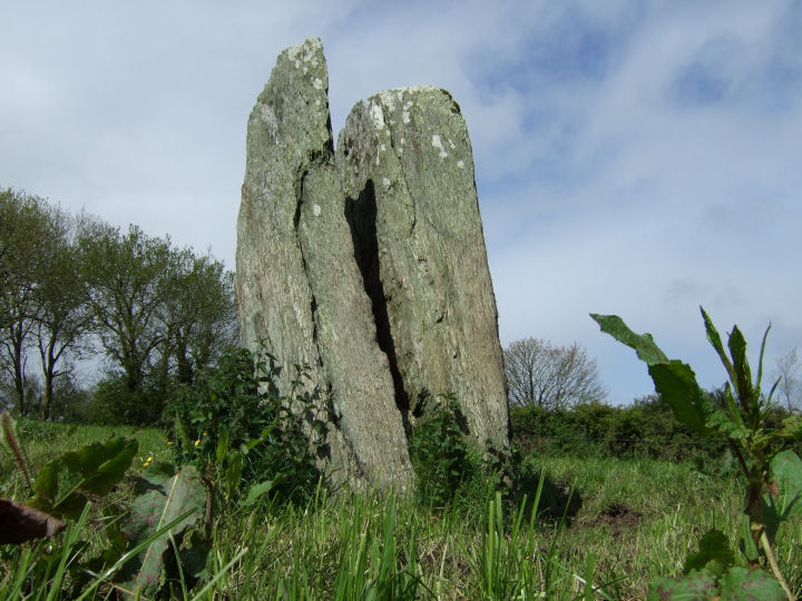
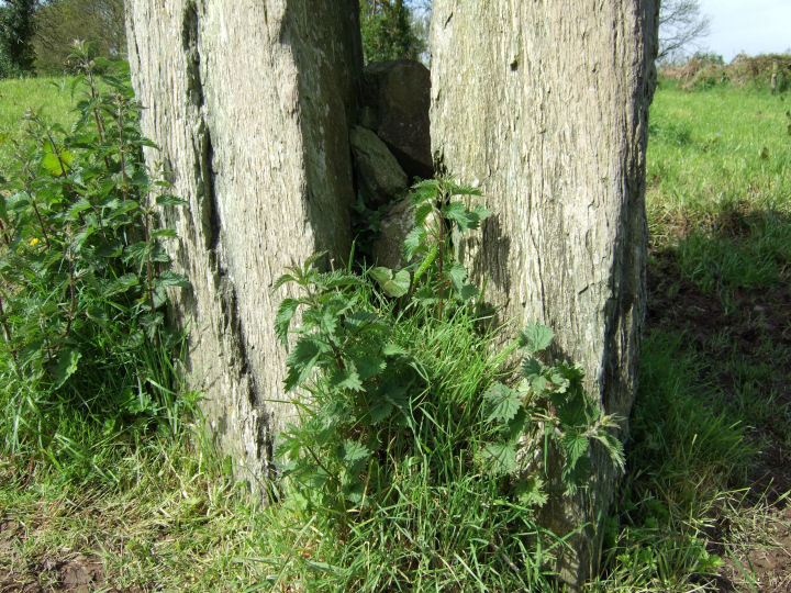
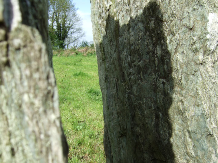
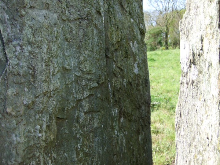
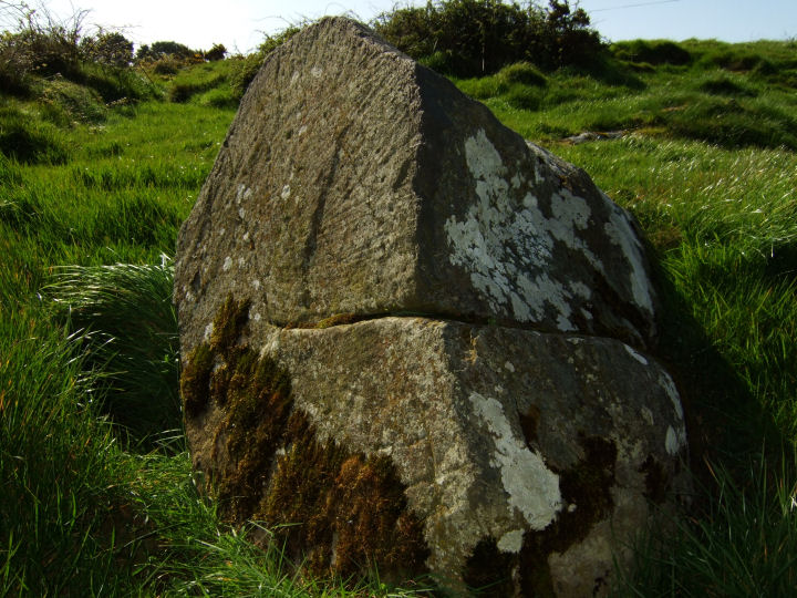
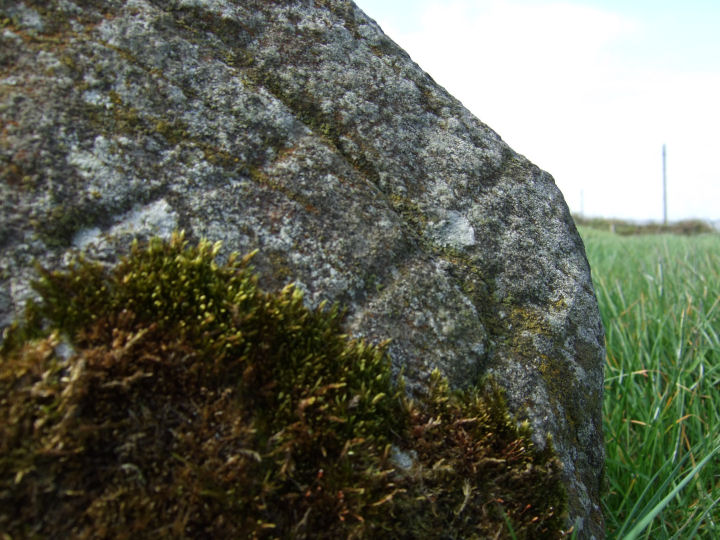
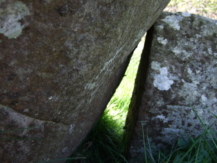
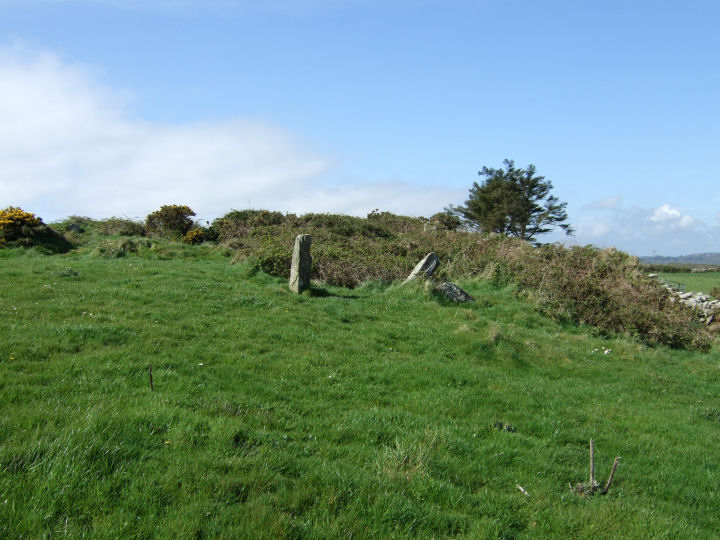
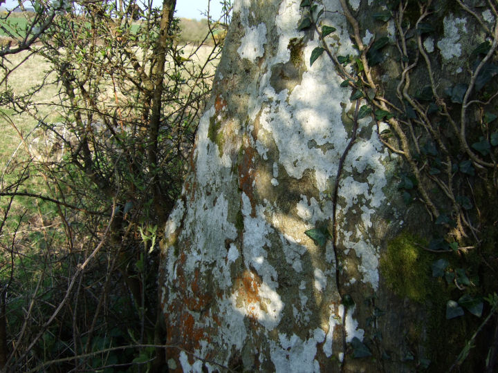
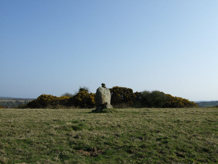
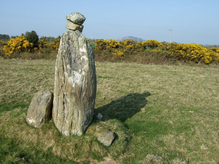
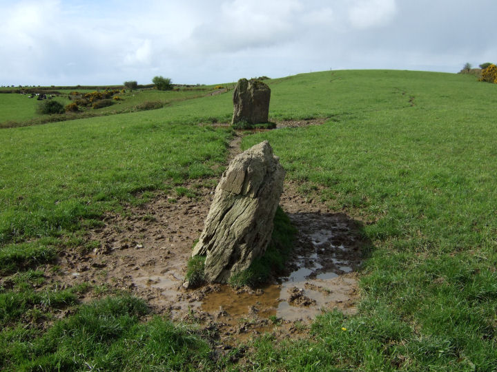
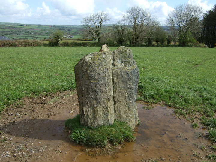
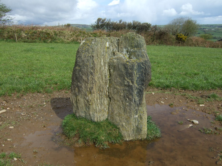
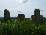
A cloven standing-stone; 2.2m tall*, or a very anomalous stone pair, acting as apt familiar to the nearby 'Cross of the Evil Spirit'.
Similarities in texture, colour and the apparently compatible inner sides of the two slabs indicate that they are two parts of the same stone. The confusion is caused by the steep angle with which they rise from their clearly separated ground-level positions.
*Archaeological Inventory of Cork, 1992; No.468, 64
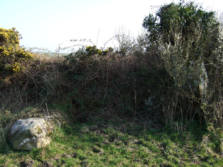
Permission to visit this site may be obtained from the house on the opposite side of the road that runs southeast from the field.
|
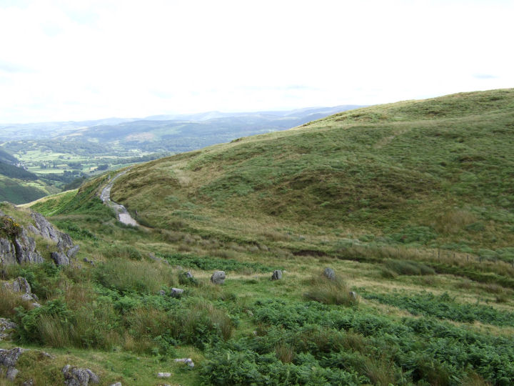
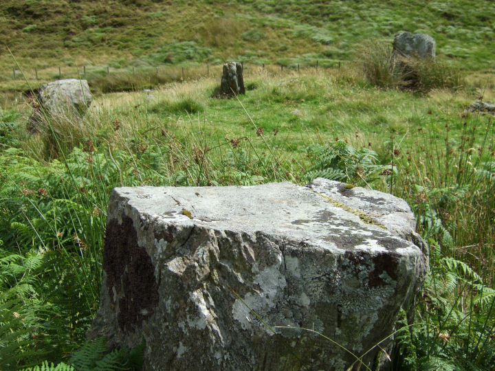
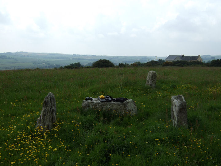
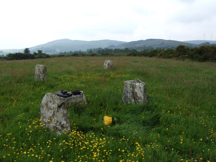
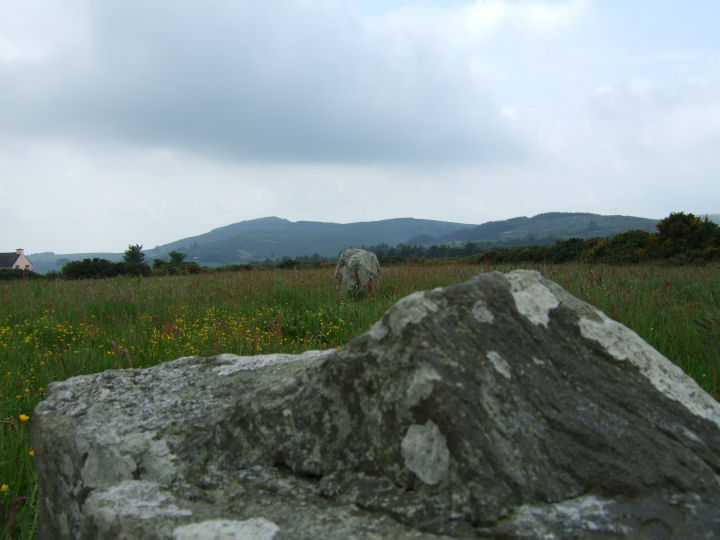
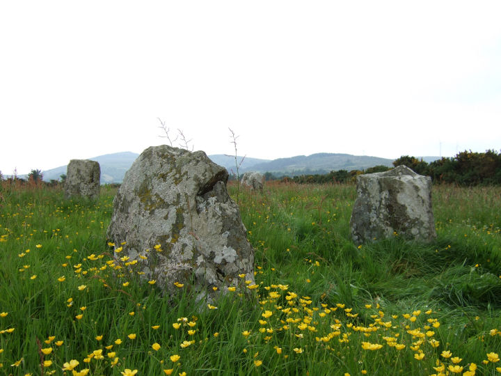
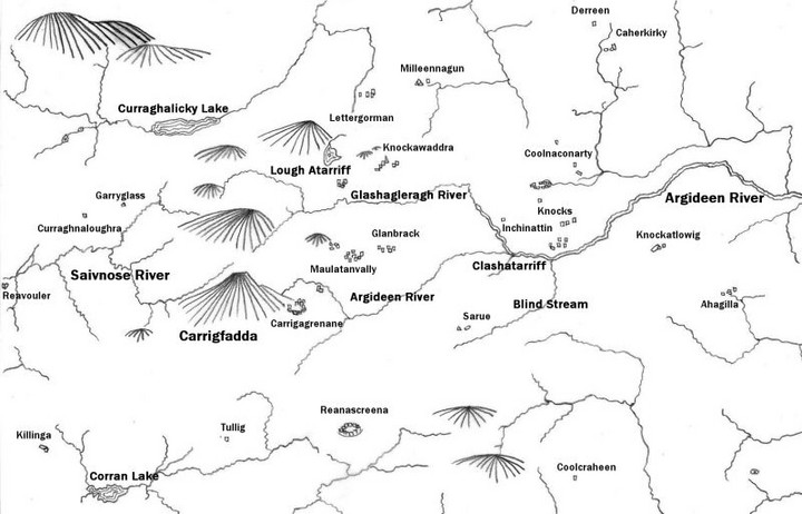
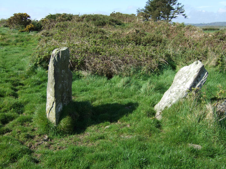
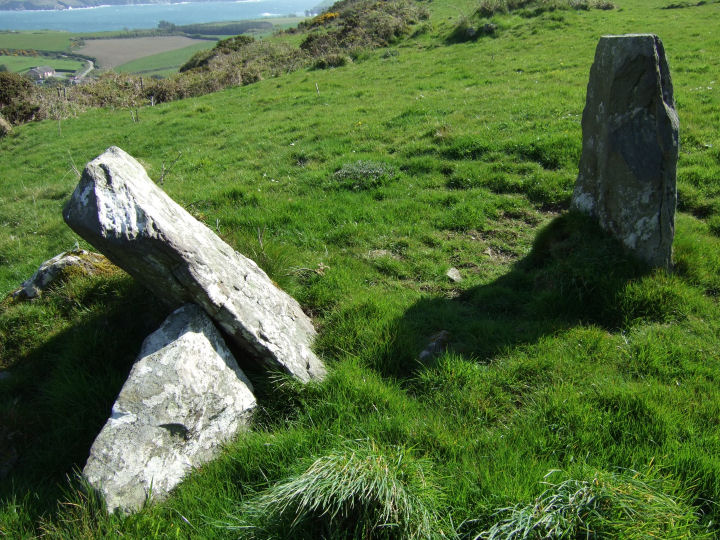
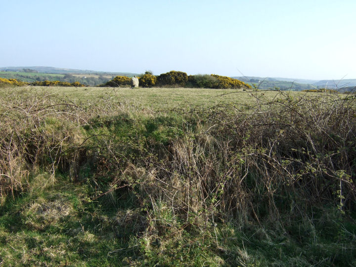
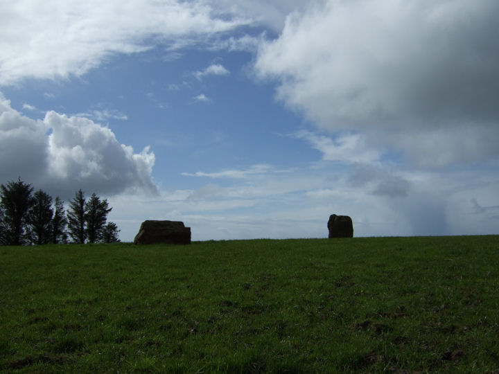
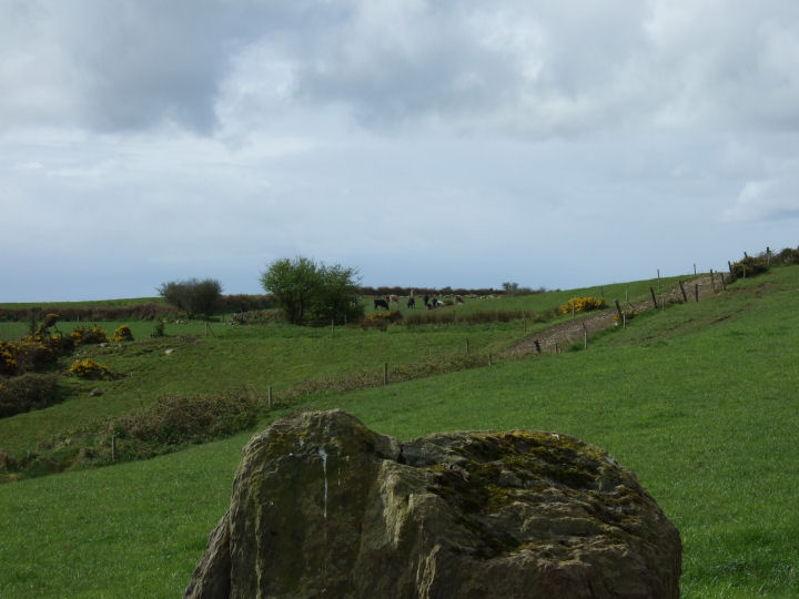
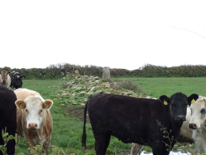
An impressively varied, but perhaps noncontemporaneous, complex, consisting of a tall stone pair and a ringfort with adjacent standing-stone*. A field boundary-wall now splits the former group, N-S, from the latter.
*Archaeological Inventory of Cork, 1992; No.188, 41; No.382, 57; No.1577, 178.
Access may be gained and permission to visit obtained, at the farmhouse at the beginning of the trackway to the east.
|
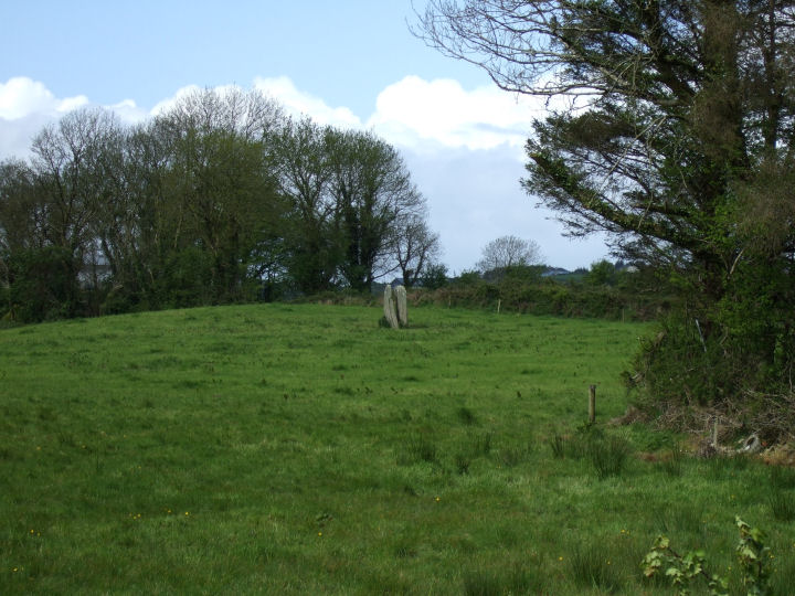
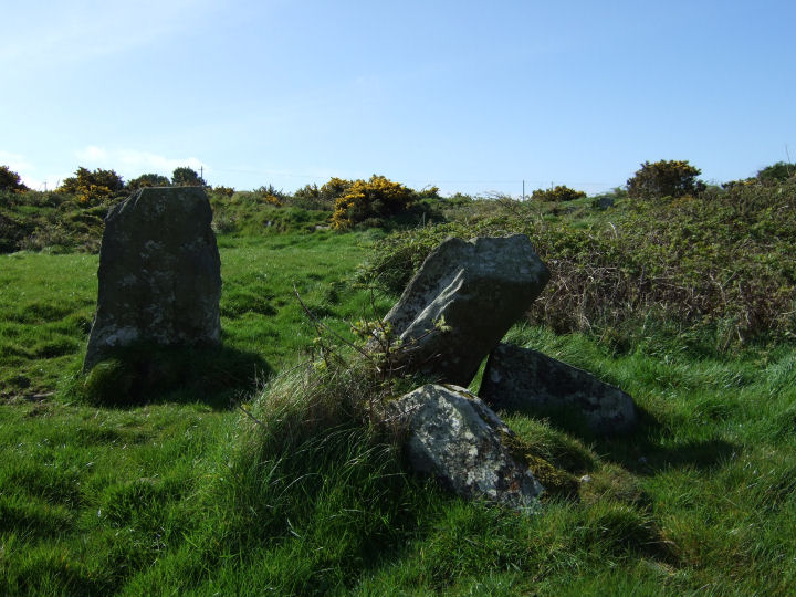
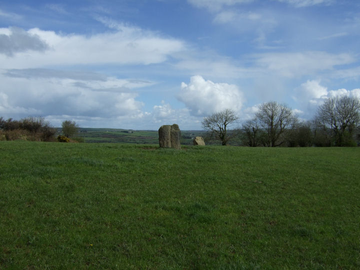
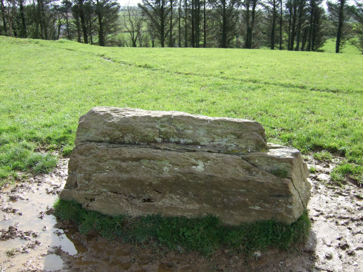
A probable anomalous stone pair, recorded as two separate standing-stones in the Inventory. The mutation is in the placement of the NE stone; 2m long*, which appears to be set in a deliberately recumbent position. The stone to the SW; 1.3m tall*, stands in line with the long axis of the former and is L-shaped in cross-section. Another standing-stone, beyond the field boundary and south of the axis of the pair, is not listed in the Inventory and may be modern.
Views are extensive to the S, E and N but are blocked to the W by a short rise towards the summit of a low hill, a similar blind to the other Argideen valley pairs at Knockawaddra E and Sarue and the row at Knockatlowig.
*Archaeological Inventory of Cork, 1992; No.276, 49; No.513, 67.
Access is through the farmyard, by the road to the east of the site and permission to visit may be obtained at the adjacent farmhouse.
|
     
|

|
       
|
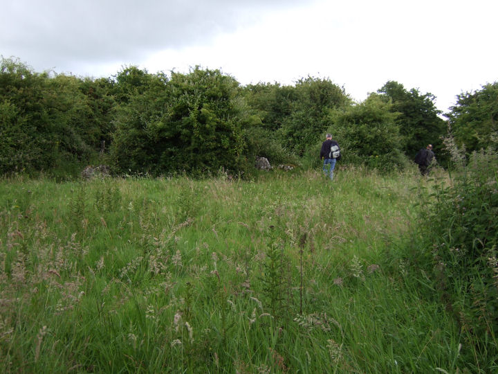
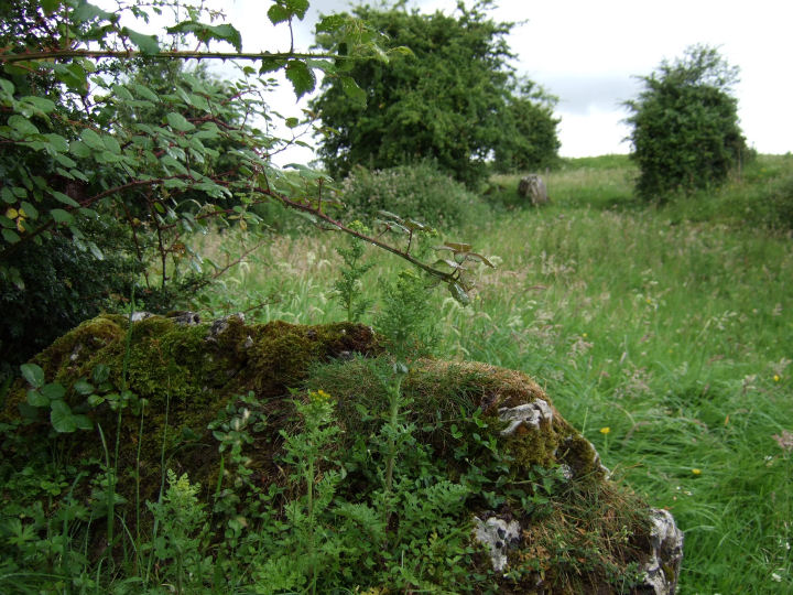
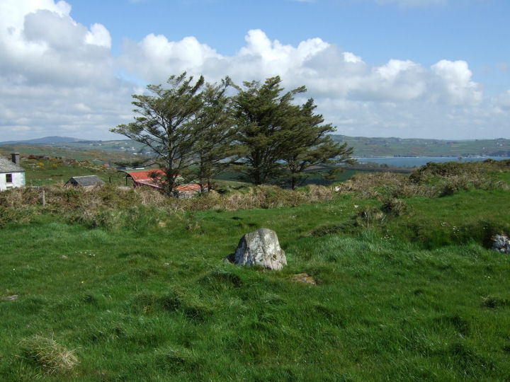
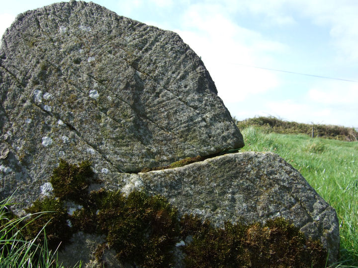
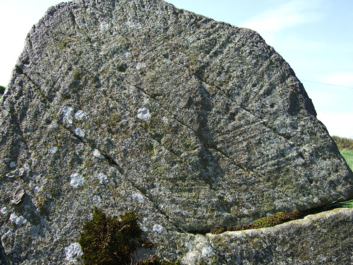
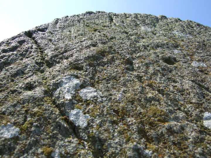
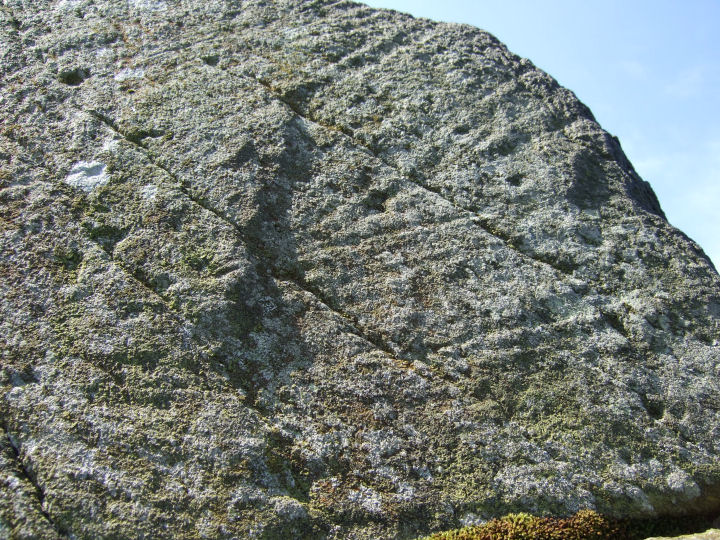
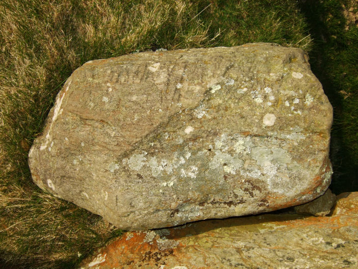
Visible from the farm track and 82m southwest of the stone group, is a protruding rock, flat-faced on its northeastern side. Careful study of the larger, left-hand segment of this striated panel reveals an almost perfect semicircle of cup-shaped depressions, none wider than a stout fingertip. Close to the ground, on the lower, right-hand section, is a deeply scored lattice pattern.
This may well be the "cupmarked stone" recorded on archaeology.ie, but it sits in a different part of the field, 58m west of the given coordinates.
|
     
|
      
|
"Can this be death?" thought Prince Andrew, looking with a quite new, envious glance at the grass, the wormwood and the streamlet of smoke that curled up from the rotating black ball. "I cannot, I do not wish to die. I love life - I love this grass, this earth, this air..." He thought this, and at the same time remembered that people were looking at him.
Leo Tolstoy, 'War and Peace', Book Three, Part II, 36.
|
|