Looking down on the site from the south.
The stones are between the boulders on the roadside and the wall on the left of the picture.
The chimneys of the Shap Limestone plant are visible in the distance.
Looking down on the site from the south.
The stones are between the boulders on the roadside and the wall on the left of the picture.
The chimneys of the Shap Limestone plant are visible in the distance.

The boulders beside the road are a recent addition.
This is an easy site to visit. Travelling south from Shap on the A6 take the first left onto the M6 link road and then take your first right onto the minor road to Orton.
As you turn onto this road you will see a row of boulders bordering an area of rough moorland. The site is just beyond the boulders.
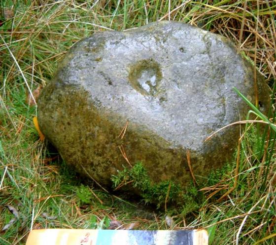
Tom Clare reports this site as a group of stones that ‘appear to form a circle’. I was unable to fully trace Mr Clare’s full circle but there is a definite arc of stones at the southern end.
The ‘circle’ is situated on the side of a gentle rise with the views restricted to the south by the rising ground. I was fortunate enough to visit on a cloudless, frosty Midwinter day and the views to the east west and north were beautiful, looking over the great limestone plain to the Pennines and the moon rising over Cross Fell and then looking northwards over Shap with the Skiddaw massif just visible in the far distance, the vista to the west takes in the fells around Haweswater and High Street.
Whether this is a genuine prehistoric ring or not, it’s well worth a short visit, if only to take in the views.
This site was indentified by Tom Clare in his excellent 2007 book, Prehistoric Monuments of the Lake District.