The fort from the northeast on the Wye Valley Walk.
Image credit: A. Brookes (13.8.2022)
The fort from the northeast on the Wye Valley Walk.

The northern tip of the fort.

The highest point of the fort, looking towards May Hill.

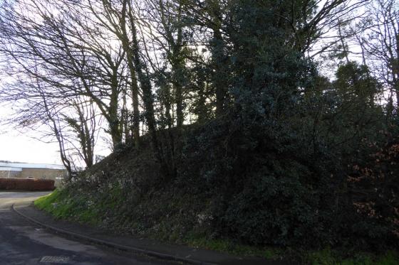
Southwestern rampart.

Section of the southern rampart.

Chase Wood Hill from Bull’s Hill to the SSW.

The prominent hill rises in a commanding position over the Wye Valley – seen from Coppet Hill near Goodrich to the south.

The hillfort from the northeast.

Reverse of the previous image, looking into the fort. The rock-cut nature of the entrance is obvious on the left of shot.

The northeastern entrance, cut through the rock of the hillside, looking outwards.

The northeastern rampart. Much of this is probably the natural top of the steeply sloping hillside rather than a manmade bank.

The northern end of the rampart.

The earthwork at the northern end of the fort.

Looking east from the highest point of the interior. May Hill is the inevitable skyline feature with its unmistakeable circular copse on the summit.

Section of the southern rampart. The earthwork is most covered in small trees and vegetation so walking a circuit is rather hampered.

The sloping interior seen from the southeast.
From “Herefordshire Register of Countryside Treasures” (1981) H&W CC:
“Single rampart rises 1m or so above Iron-Age hill fort whose interior covers 8.8. ha (22 acres). Area under cultivation. Poorly defined NE entrance still visible”
The fort occupies a prominent position on a steeply sloping hill to the south of Ross-on-Wye. Access is via the Wye Valley Walk footpath.