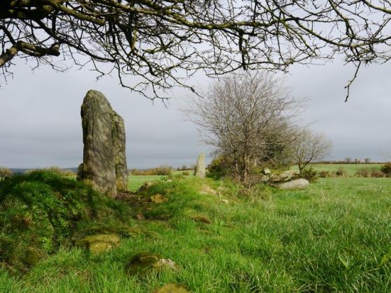
March 2015. This is the stone to the West of the junction. It leans quite heavily to the North – maybe this is the reason why ?
Image credit: Michael Mitchell
March 2015. This is the stone to the West of the junction. It leans quite heavily to the North – maybe this is the reason why ?

March 2015. This is the stone to the West of the junction

March 2015. This is the stone to the West of the junction

March 2015. This is the stone to the West of the junction

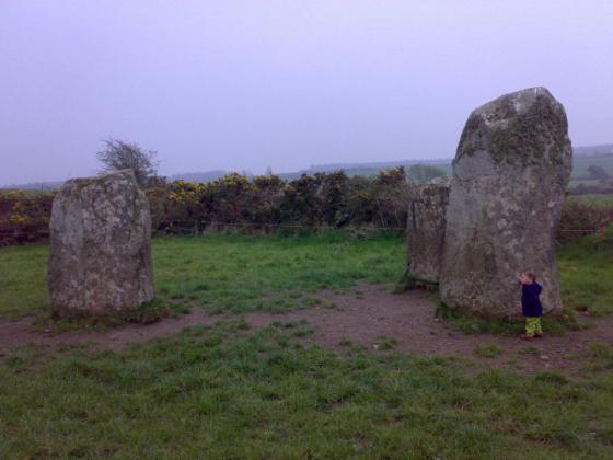
The standing stone in the field on the other side of the junction. Same townland. Not sure about this one – it’s in the Inventory but not in the older maps and is in a fairly noticeable position.

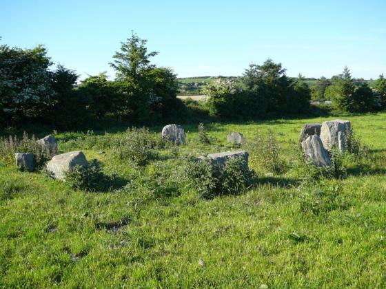
Looking NW. The position of the stones may be slightly off the original placement.

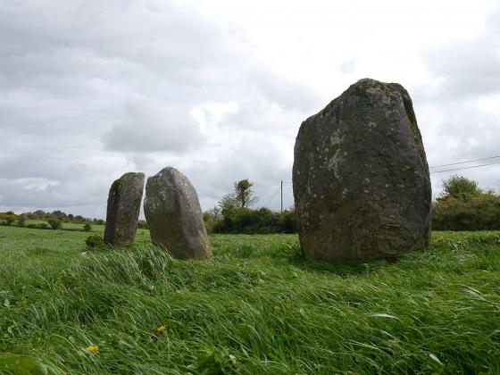
The partially re-erected northern stone.

The prostrate southern slab.
A couple of fields east of the cross at Killmeen Creamery and a short distance south of the road, are two stones, recorded separately in the Archaeological Inventory*. Only 26m divides them – a unique stretch if they initially formed a stone row, but uncommonly close for individual standing-stones. Both were knocked accidentally, by a reversing trailer, some time before the compilation of the Inventory records.
The northern slab has been partially re-erected and the stone on which it balances, though tall, may be an original support. There is no guarantee that the southern stone is exactly at its original position. A shallow depression in the ground, a couple of metres to the east, could as easily be the source. The present positions seem to roughly agree, however, with those shown on the early 20th century OS map – forming an inter-stone alignment running NNW-SSE. This, given human error, would match the N-S upright-slab orientation recalled by the landowner. The direction is, again, of course, unusual for a local stone row, but may not rule out the remains of some large free-standing monument or habitation.
Permission to visit may be obtained from the farmhouse on the opposite side of the road. One for the obsessive, perhaps.
*Archaeological Inventory of Cork, 1992; No.302, No.303, 51