The northen side of the stone pair. The clump of ivy marks the top of the tall western stone.
Image credit: Gordon Kingston
The northen side of the stone pair. The clump of ivy marks the top of the tall western stone.

Looking east along the field-wall.

The northern face of the upright stone.

A view south from the fence that contains the stone pair, but taken a short distance to the east of its location.

The ringfort sits to the south of the standing stone.

Looking NE along the long axis of the standing stone. Carrigfadda is the hill in the background.

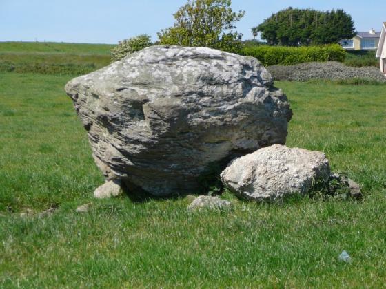
The notched top of the stone that sits flush against the northern side of the standing stone.
An impressively varied, but perhaps noncontemporaneous, complex, consisting of a tall stone pair and a ringfort with adjacent standing-stone*. A field boundary-wall now splits the former group, N-S, from the latter.
*Archaeological Inventory of Cork, 1992; No.188, 41; No.382, 57; No.1577, 178.
Access may be gained and permission to visit obtained, at the farmhouse at the beginning of the trackway to the east.