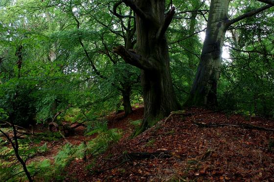
Long zoom on the low mound.
Image credit: A. Brookes (3.5.2014)
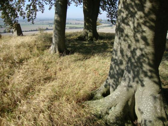
Long zoom on the low mound.

Goddard’s Barn round barrow stands out as a lighter green in the centre. Seen from the SW.


Taken from the south
A bronze age bowl barrow. I would say it is just over a meter high as you can see it above the oil seed rape wich surrounds it. it is situated 300 yds south of Goddards Barn below the ridgeway, thus the name.
Details of Barrow on Pastscape
Monument No. 233715
A Bronze Age round barrow is situated on a north west facing slope overlooking a dry valley. The barrow is recorded, in varying states of preservation, on aerial photographs. It is visible as an earthwork mound, with a diameter of 30m, on early photographs. The outer ditch of the barrow, which has a diameter of 60m, is visible as a cropmark on more recent photographs.
[SU 41818612] Very large mound, about 50 paces in diameter and about 8 ft. high under cultivation, apparently a barrow, noted by O.G.S. Crawford. It lies 300 yards south of Garddard’s Barn, West Lockinge, at Lat. 51 34’ 19” and Long. 1 23’ 48”. (1)
SU 41748619 Large Bowl barrow [There is a large mound on the 6” (SU 48 NW) a short distance S.E. of Grinsell’s siting and it is possible that this is the barrow referred to by authorities 1 and 2]. (2)
This ditchless mound is at SU 4185 8612. (Published on O.S. 6” 1960 at SU 4187 8610). Cultivation has caused a degree of
spreading and the height is now 1.7 metres. It is almost certainly artificial and is probably a bowl barrow. Surveyed at 1/2500. (3)
The Bronze Age round barrow referred to by the previous authorities is situated on a north west facing slope overlooking a dry valley and Goddard’s Barn. The barrow is recorded, in varying states of preservation, and has been mapped from aerial photographs. It is visible as an earthwork mound, with a diameter of 30m, on early photographs. The outer ditch of the barrow, which has a diameter of 60m, is visible as a cropmark on more recent photographs. (4)
--------------------------------------------------------------------------------
SOURCE TEXT
--------------------------------------------------------------------------------
( 1) General reference Berks. A.J., 43, 1939, 13. (L.V. Grinsell)
( 2) General reference Reading Mus. 6” 13.9.62
( 3) Field Investigators Comments F1 JP 17-MAR-64
( 4) Oblique aerial photograph reference number NMR SU4186/4-9 (2169/1049-54) 20-JUL-1984