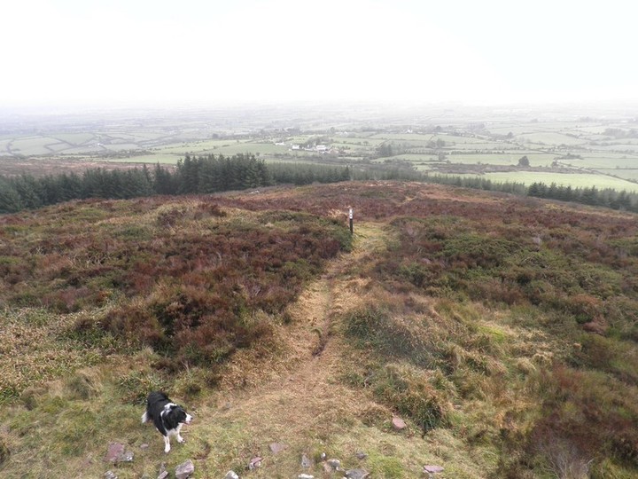
To the south
Image credit: Bawn79 © 2011
To the south

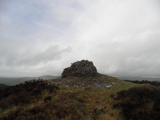
The hillfort from the cairn looking north
This hillfort is right on the limerick/cork border. A road runs along the northern slopes of the Darragh Hills. There is a signpost for Castlegale hillfort where you can park at the entrance of the forestry track. I went the wrong (but interesting) way climbing over the hill and approaching from the south but you could follow the track east and approach from the north.
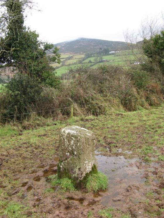
Approaching from the south I came upon what looks like the remains of a megalithic tomb built into a stone boundary wall.
The hillfort itself using a natural knoll of rock which gives it cliff faces to the north. There is a double rampart to the south and a single one to the north.
It is known locally as ‘the citadel’.
Seemingly it was heavily forested when the Ballyhoura Hills project surveyed it but the trees must recently been cut.
“The enclosed area is 13,799m2 (1.4ha) and the fort measures 138m (externally) from the northern to southern ramparts; and the interior id 109m (north-south) by 114m (east-west)”
Ive tried to put up an aerial view from Google Earth but this is a fuzzy area on the ireland map.