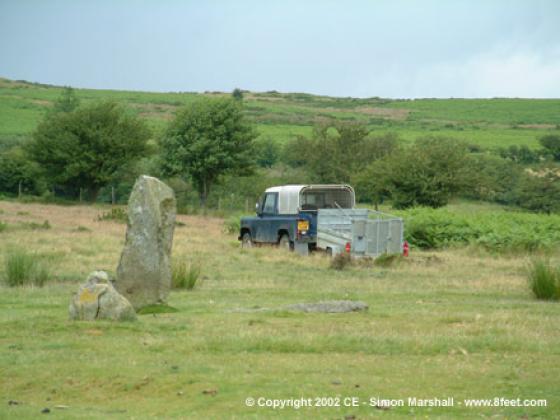
An Iron Age field system occupies the top of Hope Bowdler Hill. Pastscape description:
On the south facing pasture slopes of Hope Bowdler Hill, between the 1000 and 1100 foot contours, are the remains of a Celtic field system in two well defined groups. The first, centred SO 479933, comprises a group of eight fields occupying a southern spur. The lynchets range from 0.3m to 2.0m in height, with field banks, some containing much loose stone, up to 0.2m in height. The fields measure about 200.0m by 70.0m.
The eastern group, centred SO 485934, has smaller fields (about 100.0m by 50.0m) but the lynchets are larger (up to 2.5m in height).
Adjoining this group on the east are two cultivation terraces measuring 70.0m and 120.0m in length and 20.0m in width, with lynchets between 2.5m and 3.0m in height. Later cultivation has destroyed the lower portions of the system.
There’s also a cairn on the saddle between the southern and northern summits on the hill. It’s not scheduled, but was noted in a 1979 field report:
(SO 47779389) A round cairn situated on -east side of the saddle below the north-east slopes of Hope Bowdler Hill, at about 370.0m OD.
The cairn is 8.5m in diameter, and has a maximum height of 0.2m. Stone from the cairn has been used to construct a small circular sheep shelter 2.5m across and 0.8m high over the centre of the cairn.
On the north side of the shelter the ground between it and the rim of the cairn is clear of stone and under turf. This may be due to robbing, but the possibility of a ring cairn cannot be ignored. The rim, or band of stone on this side is 1.5m wide.


