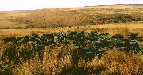
Standing on the approximate position of the lost barrow, looking SW. The feature on the skyline in the centre of the picture is the bank of Arbor Low henge.
Image credit: A. Brookes (18.9.2011)
Standing on the approximate position of the lost barrow, looking SW. The feature on the skyline in the centre of the picture is the bank of Arbor Low henge.

Looking WNW to the site of the barrow as recorded on the OS map. Nothing to see.
Visited 25.5.13
Another ‘Tumulus’ marked on the O/S map but again nothing to see on the ground and another ‘Tumulus’ on which E.H. have nothing to report.
There is a public right of way via the track leading to Cales Farm which is a little further down the road from Arbor Low.
A farmer passed me in his tractor as I was walking down the farm track but he didn’t stop.
Very pretty countryside though so not an entirely wasted trip.
Ploughed out round barrow, has now disappeared. There was a burial and associated finds here. From Pastscape:
A barrow about half a mile east of Arbor Low [The published mound is 3/4 mile N.E.] was opened in May 1824 when part of a skeleton and a broken urn about 6 ins. in diameter, with calcined bones, were found. The burial had been previously disturbed by workman.
[1966 field report:] This barrow has been ploughed/over, max. height 0.4 m Published survey (25”) revised.
NB: The field boundary shown on the 2008 1/25000 running along the SE side of the barrow to the SW is no longer there (see also Google Earth, which shows no barrow or field boundary).