Looking straight north.
Image credit: drew/B
Looking straight north.

Traces of rampart swing round to the north.

Traces of rampart on the east.

The damage near to the western edge.

The west side, forestry vehicles pass very close to the fort.

Inside the fort.

Steep slopes on the south add to the defences.

Top of the south west flank.

Looking down to the south east.

The tumble of the south east walls.
We parked at the Barevan Bridge crossing the Allt Dearg Burn near West Barevan farm. Fortunately this is slightly north to the large burn so no wading involved.
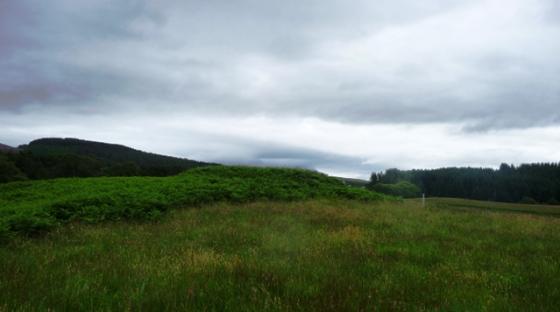
From here we walked north through a field and jumped over a small burn shaded in trees. Once on the other side of the trees it was forest clearence on Fangorn size proportions. As we all know this makes walking conditions a nightmare but eventually we made it to were trees still survived. There is a track, not on the map, that goes up the west side of the fort. Luckily , for us, it led straight to the fort.
Also luckily is that the fort seems to have avoided any serious damage caused by the forestry work on the west. The rest of the outer edges are untouched. To the south, east and west the outer wall that surrounded the site has fallen over the edge. Parts of the wall still remain to the north in the inner part of the fort, the flattest side.
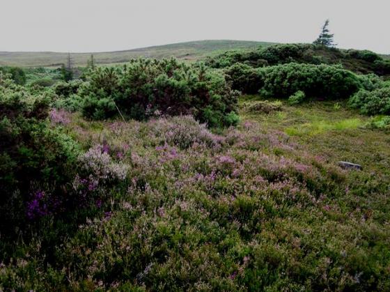
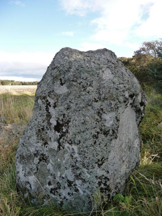
Most of the fallen wall is covered in moss which in turn is covered in ferns and numerous other types of vegetation. However it was a fairly large fort being 56m by 23m. Outer parts of the defences can just about be seen but, they to, are turf and moss covered. The well mentioned by Feachem (crikey we owe this guy a lot as well) is still there to catch the unwary.
A cracking place to build a fort. Just a pity, like many forest forts, that the vegetation takes over.
Still a very worthwhile place to visit.
Visited 18/7/2018.