Landscape context for the enclosure’s position above the estuary. From St John’s Hill to the south. Apropos of little, Dylan Thomas’ writing shed can be seen bottom left of the photo.
Image credit: A. Brookes (19.9.2013)
Landscape context for the enclosure’s position above the estuary. From St John’s Hill to the south. Apropos of little, Dylan Thomas’ writing shed can be seen bottom left of the photo.

The southern curve of the earthwork. Laugharne lies tucked away out of sight below the trees.

The view across the sloping interior of the enclosure to the estuary below.
The eastern section of the earthwork.

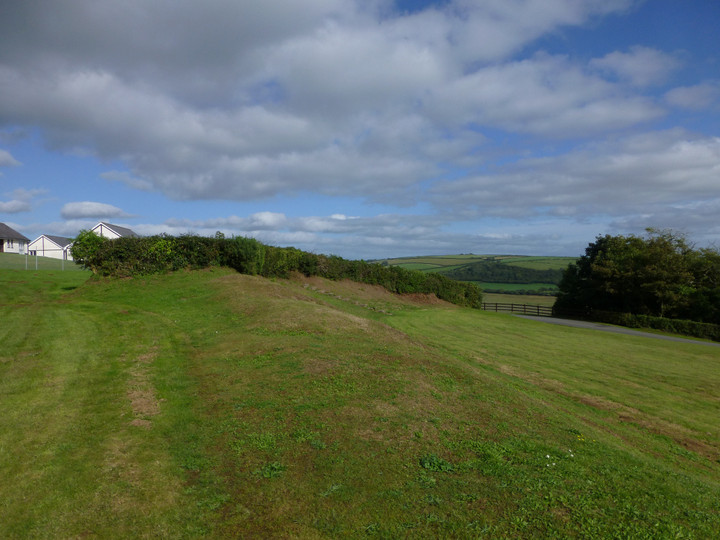
The single bank of the enclosure from the west, any trace of an outer ditch long filled.

Looking down on the earthwork of the D-shaped enclosure from the terracing to the northwest (that I assume to be a relatively modern feature?).
The Taf estuary lies below, the distant hills on the left skyline are Llanmadoc Hill and Rhossili Down on the Gower peninsular.

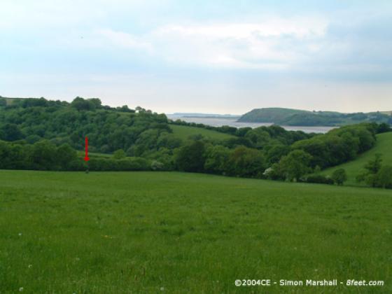
Landscape context for the fort/enclosure, which occupies the left hand end of the wooded hill, centre. Laugharne can be seen further to the left. The viewpoint is Pont-y-Mwche, on the opposite side of the Afon Taf.