In my opinion this is an exquisitely sited little hill fort overlooked – nay, completely dominated – by the wondrously sinuous Nantlle Ridge to the south... and the much more elephantine bulk of Mynydd Mawr to the north-east. Needless to say both the latter heights feature their share of formerly interred Bronze Age VIPs, although, as one versed in such matters may suspect, no inkling of cairns can be determined from down here. Indeed, there is more than a hint of Cadair Idris’s wondrous Pared-y-Cefn-Hir enclosure in the overwhelming mountain vibe to be experienced at this obscure spot, if not the defensive archaeology, which here is much more compact, more coherent in nature.
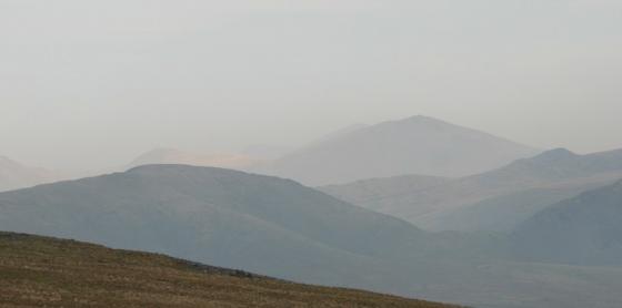
The all important water feature, arguably a prerequisite in any classic landscape, is to be found in the Llyn Nantlle Uchaf to approx south-west, the lake perhaps best eulogised – in paint at least – by Richard Wilson in 1765, his focus naturally being upon the grandeur of Snowdon and her cohorts framed by, and rising beyond, the jaws of ‘Drws-y-Coed’ to the east. One can almost hear the faint reverberations of a mighty ‘I don’t believe it!’ still echoing down across the centuries. Likewise Mr Turner also came here to have a gander. Well, the brusque gentleman did get around a bit, to be fair. And it would’ve been rude not to pay a visit to such an iconic location in passing.
As it happens, contrary as ever (albeit due to the topography), my eyes are drawn in the opposite direction to those esteemed artists of yore, away from the magnetic pull of Yr Wyddfa-Fawr to gaze across the alternately shimmering/glowering tarn to the ‘Three Brothers’ perched overlooking the distant Lleyn coastline. Ah, Tre’r Ceiri! The titanic ‘Town of Giants’ occupying the inner of the far triumvirate. Perhaps Wales’ finest hillfort, no less! The small enclosure where I perch riding out a sudden, violent hail storm is no such thing, existing upon a much more unassuming scale; perhaps a temporary citadel for folks living their daily lives below in Dyffryn Nantlle; or maybe just home to an extended family unit not necessarily on their neighbours’ Christmas Card list? However I would suggest – recommend, even – that there is ‘something’ here that warrants a little of your time. Indefinable, perhaps, but none the worse for that. Previously cited as a ‘Settlement’ upon older OS maps, the substantial nature of the defences for a relatively small site soon convinces this traveller that the current OS denotation of ‘Fort’ is much more representative. As for Coflein, they have this to say:
“A sub-circular defended hill-top enclosure that measures approximately 30m in diameter. It is defined by drystone walls/banks that comprise of medium to large unworked stones that have been built into irregular courses that measure 2m wide and 0.50m high.” [P.J. Schofield, Oxford Archaeology North, 3/2/2006.]
So... motorists venturing through Drws-y-Coed and traversing Dyffryn Nantlle, perhaps intent upon visiting the seaside, will be none the wiser regarding what lies above, such is the obscurity of the ‘fort. I eventually parked up opposite the eponymous farm buildings and made my way to the defended crag via a walled track a little to the east. Very steeply. Presumably the former inhabitants actually knew what they were doing and there exists a better way?