
Looking north west towards Gartly.
Image credit: drew/amj
Looking north west towards Gartly.

On top of the mound.

Looking east, in the trees another artificial mound was destroyed.

Damage by farm machinery.
Looking straight south towards the Coreens.

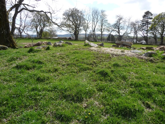
Looking north west, Tap O Noth hiding behind the trees.

Looking south west.

Taken from west of the site.
The Leith Hall mound has three different height sections and is surrounded by large stones and a built up bank some 37 by 19 meters being almost 2 meters in height. In the middle is the obvious top section. Three large trees sit in the site making it easy to find. sadly damage has been done as can be seen by the pictures. It also is being used as an agricultural rubbish dump.
Still it is a very pretty place with good views. If you peek between the trees Tap O Noth can be seen to the south west.
Heading west from the village of Kennethmont on the B9002 the road veers north. I parked opposite the first minor road heading west. From here follow the wee track heading east and jump the gate. The mound is to the south east.
Visited 19/5/2016.


