Some, but not all, of the grave mounds at Kampsheide are flagged by these small information boards.
Some, but not all, of the grave mounds at Kampsheide are flagged by these small information boards.

Certainly the most impressive burial mound I encountered, this one stands beside the path through the relatively open heathland to the southwest of the lake (red marker).

This smallish mound sits immediately adjacent to the path at the southernmost shore of the lake (green marker).

This is the largest mound in the clearing indicated by the blue marker.

Grave mounds in the clearing indicated by the blue marker on the maps.

Map of Kampsheide, indicating the main paths (white dotted lines).
Visited: July 17, 2017
Less than a half kilometre north of Tumulibos lies Kampsheide, a beautiful, compact region surrounding a large kettle-hole lake. The area is a mix of woodland and heath, and paths abound making it a delightful area for walking and enjoying wildlife. The map below illustrates the area and its surroundings, just west of the village of Balloo and a kilometre north of the main Assen-Rolde road. Kampsheide takes its name from the neighbouring Kamps Farm (Bourderij Kamps), and means simply Kamps heathland (not a campsite at all).
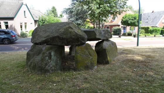
Kampsheide is but a remnant of a former much larger cemetery, and contains some fifty grave mounds of varying sizes as well as traces of Celtic Fields. The markers on the map above, shown in greater detail below, indicate the locations of some of the more prominent mounds.
Whatever your interests, this is a wonderful area to explore. I only encountered five of the grave mounds: the determined explorer will surely locate many more.
Information plaques are found by some of the mounds, stating roughly:
The grave mounds that lie in this part of Kampsheide make up part of a much larger prehistoric cemetery that stretched farther to the southwest. Already, by 1833 at the request of C J C Reuvens, the first professor of archeology in the world, a drawing had been made of the environment of this cemetery
Most likely the mounds that you see here today are grave monuments from the Iron Age, between 800 BC and the beginning of the Christian Era. During this period, it was usual to collect the remains of the cremated dead and bury them in an urn. The interment was then covered by a mound. This kind of mound is called a brandheuvel (fire hill). The simple objects that the dead took with them were usually burned (with the bodies).