The Modern Antiquarian
Log in
|
Register
Home
Latest Posts
Forums
Maps
Help
Browse Sites
News
Blog
Contributors
The Books
Select
-
Belgium
Denmark
Eire
France
Germany
Greece
Italy
The Netherlands
Norway
Portugal
Republic of Malta
Spain
Sweden
Switzerland
United Kingdom
Scotland
Highland (Mainland)
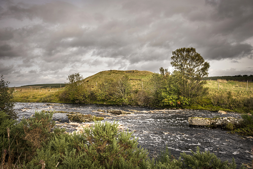
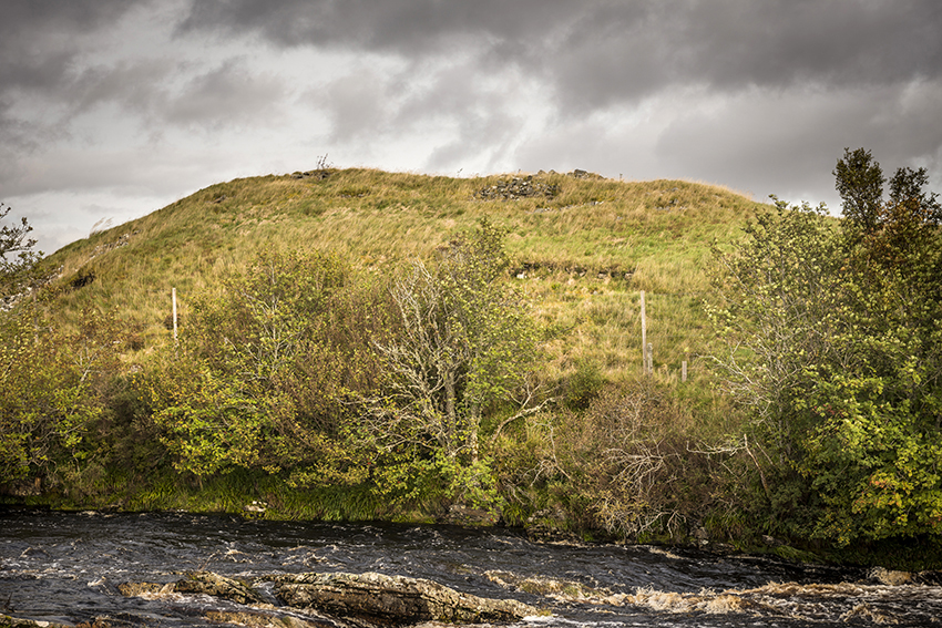
Tirryside Broch
Broch
Tirryside Broch (Broch) on The Modern Antiquarian, the UK & Ireland's most popular megalithic community website. 2 images, plus information on many more ancient sites nearby and across the UK & Ireland.
Image © A R Cane
OS Ref (GB):
Latitude:
58° 3' 59.09" N
Longitude:
4° 25' 17.02" W
Added by
A R Cane
Images (2)
0 discussions
Start a topic
Show |
Hide
Web searches for Tirryside Broch
Flickr
Google
Google Images
Bing
Stone Pages
Wikipedia
Show map
(inline Google Map)
- Sites within 20 km -
-
Alltbreac (2.08km E) (10 posts)
Sallachy Broch (2.98km SW) (11 posts)
Ferry Wood (4.34km SSE) (12 posts)
Balcharn (5.25km ESE) (3 posts)
Ord North (5.53km SSE) (27 posts)
Ord South (5.63km SSE) (18 posts)
Ord Burial Cairns (5.73km SSE) (10 posts)
River Shin (6.29km SSE) (21 posts)
Twinners (6.31km SSE) (2 posts)
Gruids Wood (8.1km S) (2 posts)
Druim Baile Fuir (8.24km S) (5 posts)
Druim Baile Fuir North (8.27km S) (2 posts)
Achany (9.12km SSE) (26 posts)
Achinduich (10.36km SSE) (21 posts)
Durcha (11.35km SW) (2 posts)
Linsidemore (12.44km S) (4 posts)
Achness (13.32km SW) (5 posts)
Achaneas (13.36km SW) (6 posts)
Invershin Farm (14.39km SSE) (18 posts)
Cnoc An Liath-Bhaid (15.6km E) (26 posts)
Achnagarron (17.23km E) (13 posts)
Remusaig (18.1km E) (4 posts)
Blairmore (18.69km E) (1 post)
Carn An Fhitich (19.41km SE) (1 post)
East Kinnauld (19.53km E) (7 posts)
East Kinnauld (19.61km E) (13 posts)
Craig A' Bhlair (20km E) (14 posts)
- Add -
-
Add news
Add an image
Add fieldnotes
Add folklore
Add miscellaneous
Add a link
-
Add a site
Add a nearby facility
Add an alternative name/spelling
Images
(click to view fullsize)
Add an image
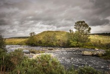 Image © A R Cane