|
|

|
|
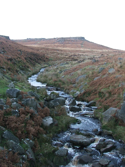
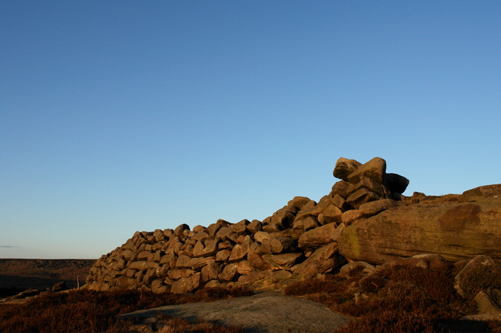
Carl Wark & Hathersage Moor
|
|
|
|
Sites in this group:
|
2 posts
Burbage Rocks Cup Marked Stone |
5 posts
Hathersage Moor Ring Cairn Ring Cairn |
13 posts
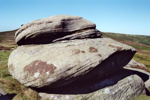
Mother Cap Stone Natural Rock Feature |
|
Southwest of Burbage Bridge
Cairn(s)
|
3 posts
Toad's Mouth Cairn(s) |
2 posts
Toads Mouth Cairn / Barrow Cairn(s) |
|
6 posts
Winyard's Nick Standing Stone / Menhir |
News |
|
|
Moving Stone through the Ages Moving Stone through the Ages: Carl Wark Hillfort and the Burbage Quarries. "A walk taking in quarries, iron smelting a prehistoric cainfield and the enigmatic Carl Wark Hillfort." Wednesday, 21 July. 10:30-16:00. Meet at the pay and display car park, west of Upper Burbage Ridge. Up-to-date information on 01626 816200. |
 Posted by Littlestone
16th June 2010ce |
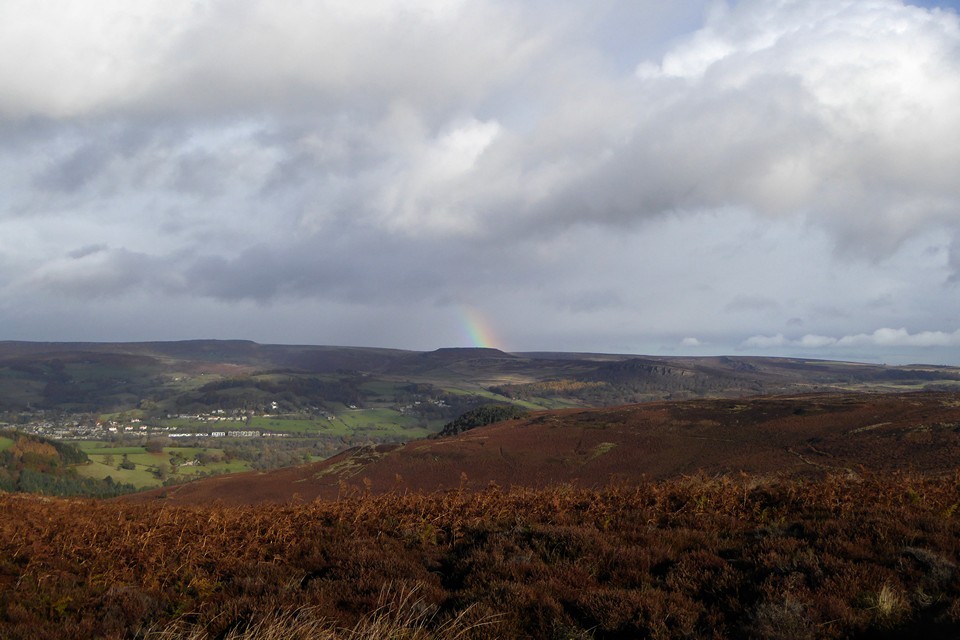
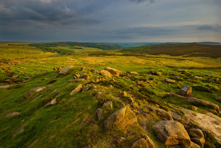
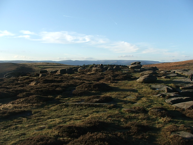
Images (click to view fullsize) |
|
Photographs:


 Artistic / Interpretive:
|
Fieldnotes |
|
|
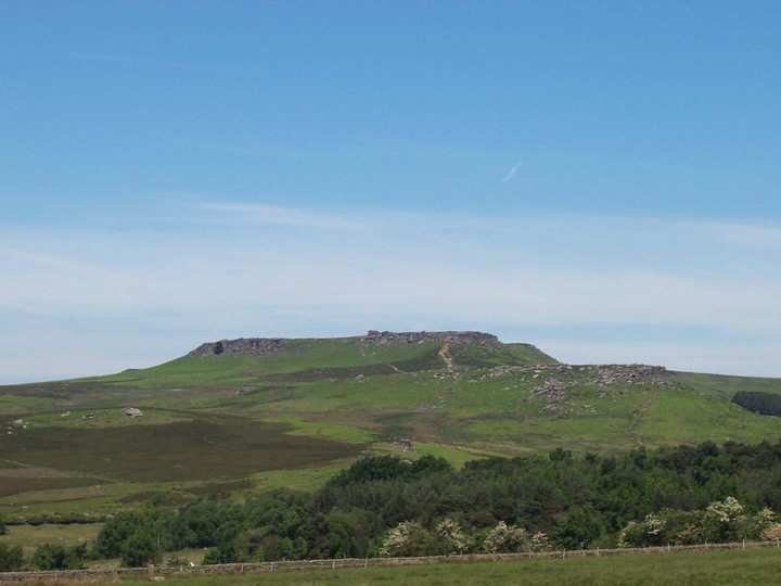
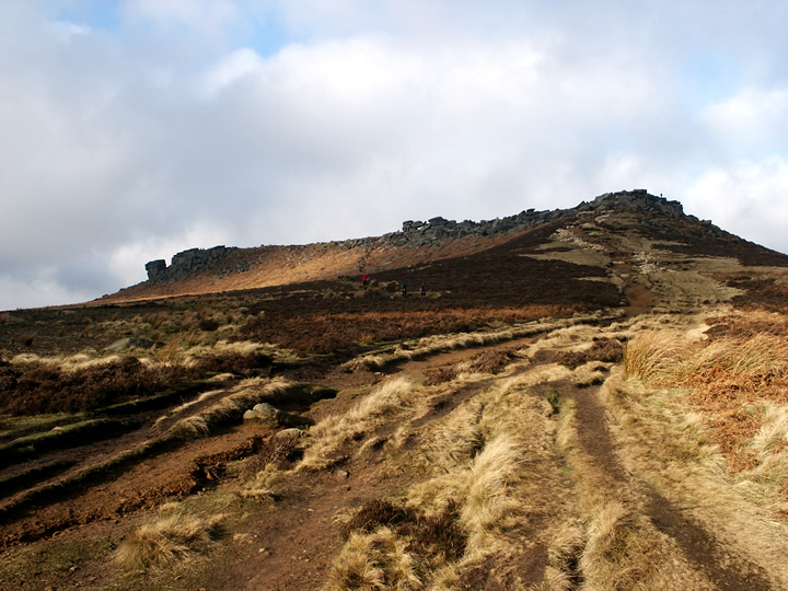
What a fantastic place Carl Wark is, didn't he play for Everton, or did I go school with him either way a strange name for a Hillfort.An even stranger place to live with all the boulders everywhere, it frankly looks more like an enclosure like on gardom's edge. parking is available to the North and the south, we parked near the Burbar bridge but then had to cross the river, so youll be better off walking down to the bridge and take the path there . The stone built wall is quite impressive with the entrance and more walling plus some kind of stone trough but it's outside the fort weather that means 'out I don't know,I told the kids it's where naughty kids were made to sit till they can behave themselves.A walk up to Higger tor is obligatory as it looks over the fort and a window in the rocks fortuisouly looks straight to it .The Peak district is the most visited natoinal park in the world and on this day you could really tell it was teaming with walkers and climbers .The carpark near Burbar bridge south has what really looks like a standing stone long and tall aligned on the fort please someone go take a look |
 Posted by postman
28th November 2006ce Edited 28th November 2006ce |
|
Near Hathersage. Amazing hill fort on the moors very easy to get to too. Two sides of the fort have a steep slope for defence the 3rd has a massive drystone wall, made from gritstone boulders. The site is approx 2 acres in size. The rock outcrop at 'Higgar Tor' is definitely worth a scramble round too, this was 'Wet Withens' main alignment the Midsummer Sunrise. |
18th April 2002ce Edited 11th June 2014ce |
Folklore |
|
|
" Carl Wark was the site of a British encampment. A Celtic tribe lived here before the Roman legions came toBritain. At the end of the sixth century this area was part of the kingdom of Argoed, governed by Sir Lamoracke, one of the knights of King Arthur's Round Table, who stood next to Sir Launcelot and Sir Tristram in deeds of valour. Men knew Sir Lamoracke (or Llywarch, to give him his celtic name) as a fierce warrrior. He had twenty-four sons, and at Carl Wark he and they fought the hordes of Loagrians, who invaded the country when the Roman army of occupation left Britain. After a long and bitter defence the knight and the remnant of his forces were driven from the stronghold." Norman Price "The Derbyshire Dales" 1953 |
1st April 2014ce |
In the eighth volume of the Archaeologia, is an account, by Mr. Hayman Rooke, of some ancient remains on Hathersage Moor, particularly of a Rocking-stone, twenty-nine feet in circumference; and near it, a large stone, with a rock-bason, and many tumuli, in which urns, beads, and rings, have been found. At a little distance he mentions observing another remarkable stone, thirteen feet, six inches in length, which appeared to have been placed by art on the brow of a precipice, and supported by two small stones. On the top is a large rock-bason, four feet, three inches in diameter; and close to this, on the south side, a hollow, cut like a chair, with a step to rest the feet upon. This, in the traditions of the country, is called Cair's Chair [Carl's Chair?]. Not far from this spot are also some Rocking-stones, "and of such a kind as seems plainly to indicate, that the first idea of forming Rocking-stones at all, was the appearance of certain stupendous masses, left by natural causes in such a singular situation, as to be even prepared, as it were, by the hand of Nature, to exhibit such a curious kind of equipoise." (Munimental Antiqua, vol 1).p477-478 of 'The Beauties of England and Wales' (1802). |
 Posted by Rhiannon
30th March 2007ce |
Miscellaneous |
|
|
"....as we cruise again down the valley to Grindleford Bridge; first making a detour to visit the grand rocky platform of Hu-Gaer, ("The city of God"), and the old British fort of Caelswork ("which means, the fort or building of the Churl - Anglo-Saxon 'Carl'" - and not "the work of the Gaels," as a repitition of writers have it;) and to bask on Millstone Edge......" Edward Bradbury 'All About Derbyshire' 1884 |
11th June 2014ce |
|
According to Dr Bill Bevan's report for Moors for the Future, Carl Wark is thought to have been mainly for ceremonial use. The wall built to block the view across Hope Valley to Mam Tor. Stuart Piggot thought the wall to be similar to those at Dark Ages forts in Scotland. |
24th April 2009ce |
|
Dating Carl Wark has proved to be a bit of a problem. The Dark Ages, Roman down to the Neolithic have all been suggested. It's boulder strewn interior has been likened to those at Gardom's Edge and Cratcliffe Hillfort which have also been suggested to date back to the Neolithic. No major excavation of the site has taken place. |
17th December 2002ce Edited 17th December 2002ce |
| A site research note for Carlwark can be found at http://www.brigantesnation.com. This site investigates the links between sites and the Brigantes tribe. |
Posted by BrigantesNation 13th May 2002ce Edited 7th April 2013ce |
Links |
|
Andy HemingwayCarl Wark: Prehistoric Ritual Enclosure or Dark Ages Battlefield? |
 Posted by moss
26th October 2013ce Edited 27th October 2013ce |
Latest posts for Carl Wark & Hathersage Moor |
Showing 1-10 of 30 posts. Most recent first | Next 10 
Mother Cap Stone (Natural Rock Feature) — Images (click to view fullsize) |
|
 Posted by thesweetcheat
13th November 2016ce |
Burbage Rocks (Cup Marked Stone) — Fieldnotes |
|
Now, I'm well aware that this area is well known as being used for military training during WW2. The area is littered with bullet holes and mortar scars, left behind by training assaults. However, these marks have a very different look and feel to the obvious bullet holes. Much softer and more weathered out. I know that anything resembling rock art in this area will be dismissed as the remains of either military activity or quarrying - but maybe, just maybe! |
6th April 2012ce |
Burbage Rocks (Cup Marked Stone) — Images |

|
6th April 2012ce |
Winyard's Nick (Standing Stone / Menhir) — Images |

|
21st August 2011ce |
Toads Mouth Cairn / Barrow (Cairn(s)) — Images |

|
10th September 2010ce |
Toads Mouth Cairn / Barrow (Cairn(s)) — Fieldnotes |
|
Another one that's hardly worth a visit, but if your planning on visiting Hathersage Moor ring cairn you'll pass by it, so why not. ! Located between Over Owler and the ring cairn, on the sloping heather covered moor. To look at this one appears like an old grouse butt, probably due to it being robbed out. Nearby there's 2 small standing stones (within 10 metres) that should help you locate it. |
10th September 2010ce |
Toad's Mouth (Cairn(s)) — Fieldnotes |
|
Not much to look at this one, but it's there, just a smallish heather covered bump in the landscape. I was passing by anyway, so thought i'd log it. Access is via a very rickety stile by the roadside 100 metres or so down the road from Toads Mouth rock at SK 25880 80545. It's only 100 metres or so from the road so if your passing anyway it's worth a look, maybe. |
26th August 2010ce |
Toad's Mouth (Cairn(s)) — Images |
 
|
26th August 2010ce |
Hathersage Moor Ring Cairn — Images |

|
24th August 2010ce |
Showing 1-10 of 30 posts. Most recent first | Next 10