Not as sharp as I’d have liked, because of the horses and fences we couldn’t get any closer, because of my temporarily dead camera this is taken on Eric’s phone at full zoom.
Image credit: Eric Bickerton
Not as sharp as I’d have liked, because of the horses and fences we couldn’t get any closer, because of my temporarily dead camera this is taken on Eric’s phone at full zoom.

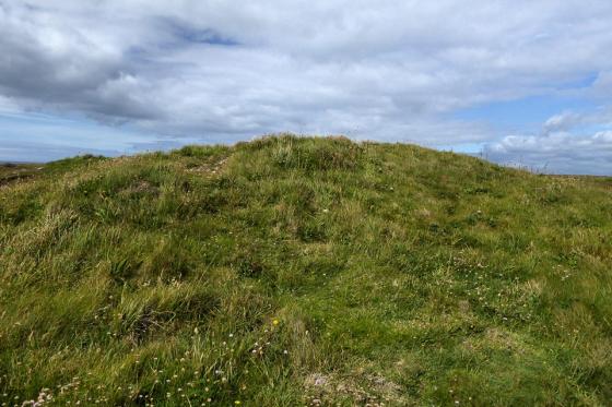
Beersheba in its landscape, with Godolphin Hill and Castle Pencaire on the horizon.

Beersheba, with Trencrom Hill behind

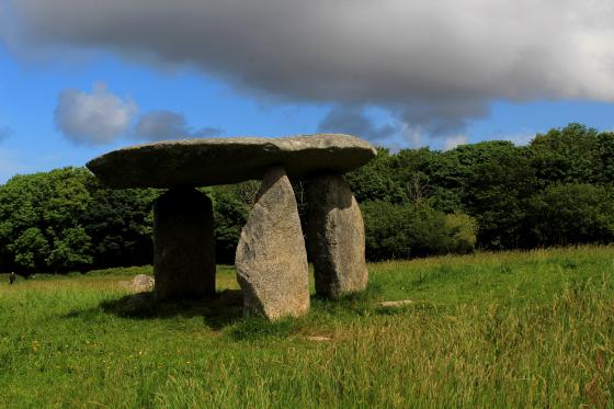
View from footpath (St Michaels Way)

Trencom hill in distance

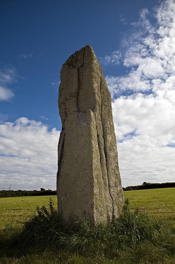
Close up of southwest facing side.

Looking NWest

Bottom of stone shows signs of damage...may be man-made, may be frost damage. Needs to be kept an eye on.

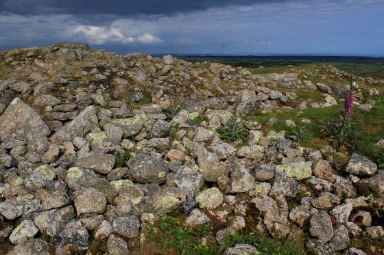
Looking towards Hayle and St Ives bay.
Visited 10.4.10.
Visible from Trencrom Hillfort. As I wanted a closer look I took the turning signposted ‘Little Trevarrack Touring Park’ and followed the road until I came to the entrance of Beersheeba farm. I say farm but this looked more like a ranch! I parked at the entrance and took an uncomfortable walk down the drive towards the stone which is in the field on your left. I didn’t try to get into the field where the stone stands and was happy to view from the drive. At this point I had the ‘evil eye’ from a farmer and someone driving past me heading to the farm house/ranch. I took this as a ‘time to go signal’. The stone itself is about 10ft high.
Just got back from a stroll up here again, and thought I’d add an additional Access note.
The approach from the north is much more straightforward. It’s just about possible to park near the entrance to Beersheba itself, then it’s just a case of hopping over 2 cornish stiles to the field containing the stone. Still not wheelchair accessible, but it’s a lot easier than trekking up that narrow path from Bowl Rock!
Just when you think you know of all the sites in West Penwith you find Ocifant has posted some info on one you are not familiar with..so you have to have a look.
A couple of weeks ago at the Dry Tree Menhir on the Lizard I was having a discussion about the biggest menhir in Cornwall. I was adamant that nothing compared with Dry Tree.....then I find this beauty!
OK, so she is not so broad, but height wise she must come pretty close. Positioned on the brow of a hill with far reaching views eastward into Cornwall and over St Ives bay at one time this must have been a wild windswept place. Now the stock fencing and nearby development take away some of the feeling for the place but standing to the north of the stone looking back towards Trencrom Hill you can just about imagine the Bronze Age landscape.
As with Ocifants instructions, park by the big bowl and take the footpath up past the cottages. It starts off as a nice Cornish lane and then as you pass the last cottage turns into a narrow path before entering the field. Stone is over to right, can’t see any reason for not being able to walk to it.
Mr H
Walked up here last week, having parked by the Bowl Rock (SW522367). A pleasant enough stroll up the hill, squeezing past a cottage on the way, then over a stile, look to the right, and there it is, on the edge of a sloping field which returns down the hill.
I managed to get some photos with what I think was Hayle and St Ives bay in the background, despite the farmer’s dog in the next field warning me away (or so I thought).
The dog was warning me, but only of the bull that was in the field, which I didn’t see until I was almost back to the stile! There had been no sign of it on my approach to the stone (thanks to the sloping hill, no doubt), but suddenly it was just there! So be warned...
Beersheba menhir
SW525371 – A 3/3.2m tall menhir (accounts vary). No excavations have taken place. Close to St Michael’s way footpath. Locally known as The Longstone.