The northern flank of the barrow, with striking natural outcrop below.
Image credit: A. Brookes (19.6.2014)
The northern flank of the barrow, with striking natural outcrop below.

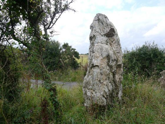
Quartz vein running through one of the stones in the kerb.

The barrow is very eroded, but has the remains of a retaining kerb of quite large blocks.

Pentire Point East barrow, looking down on Crantock Beach at the mouth of the River Gannel.

Pentire Point East barrow, prominently located on the highest point of the headland.

Prominent Pentire barrow.

Pentire barrow enjoys a sweeping view down to Fistral Bay, then on north all the way to distant Trevose Head.

Pentire barrow, looking east towards Newquay. The base of the mound is rather wider than the uncut area on its top.

Pentire barrow, the easternmost of the group, now an island in a pitch’n’putt.

Pentire Point East Barrows – 28th September 2003 – Headland barrow – looking sw from the headland, across the barrow

Pentire Point East Barrows – 28th September 2003 – pitch and putt barrow – looking north with Trevose Headland Lighthouse in far background left
Pentire Point East Barrows – 28th September 2003
The area is easily reached via the dead end road through Pentire, 2kms from the A392 coming into Newquay. A car park (not free in season, but only 50p an hour) is situated where the road ends, and also has toilets. Or you could chance parking at Lewinnick Lodge Restaurant, halfway along the north slope of the headland.
Not surprisingly the views off the headland are stunning, reaching as far north as the Trevose Lighthouse, about 15km up the coast. The end of the headland is a great position for a low barrow at SW781616.
Just before you get to the carpark, there is another barrow (topped with vegetation) on the northside of the road at SW789615. Opposite houses, on the ‘Pentire Pitch and Putt’.
Descriptions of the cairns at Pentire Point East from the National Heritage List for England:
The monument, which falls into three areas of protection, includes three round cairns situated on the coastal headland dividing Fistral Bay from Crantock Beach. The cairns are arranged in a west to east linear alignment and survive as circular stony mounds, two with retaining kerbs. The westernmost is on the tip of the headland and has an outer retaining stone kerb measuring up to11.4m in diameter; an inner cairn of up to 0.8m high; and a possible stone-lined cist to the north east defined by three large slabs of slate. A concrete platform, bench and the base of a signpost have been erected on the mound and are excluded from the monument although the ground beneath these features is included. The central cairn mound has an outer retaining kerb and measures up to 12m in diameter and 1m high. On the centre of the mound a bench has been erected, and there is the base of a signpost on the east side by the kerb. These features are also excluded from the scheduling but the ground beneath them is included. The eastern cairn mound measures up to 23m in diameter and 1.5m high.