Open Source Environment agency LIDAR
Image credit: © Environment Agency copyright and/or database right 2015.
Open Source Environment agency LIDAR

The fort from the south.

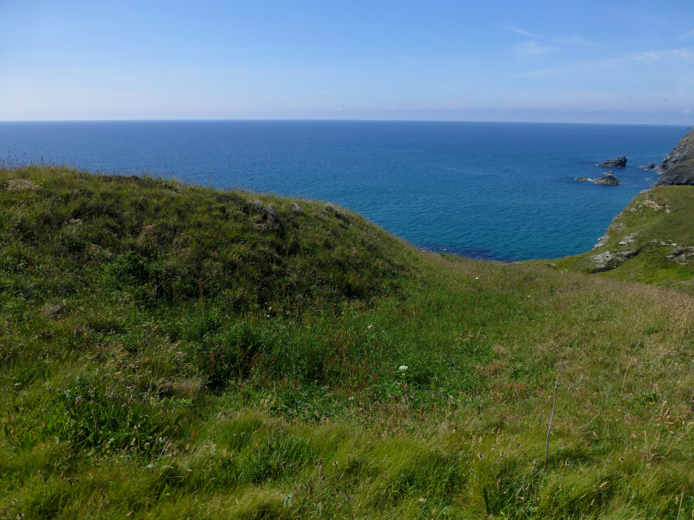
The southern extent of the fort drops steeply to Stein Cove.

Looking north across the rampart.

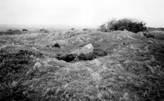
Inner bank from outer.
Bank and ditch.

Below the fort.

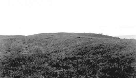
Approaching from the north presents an excellent elevated view of the ramparts. The outstanding round barrow pair at Whipsiderry can be seen on the skyline.
Mentioned by Craig Weatherhill, in “Cornovia: Ancient Sites of Cornwall & Scilly” (Cornwall Books – 1985, revised 1997 & 2000) – “The entrance of this Iron Age cliff castle is on the higher, southern side of the headland; three ramparts descend the steep, north-facing slope. The two lower ones are little more than scarped terraces; the inner bank is much stronger, reaching 2.5m in height. Inside the fort are three cicular depressions which may represent hut circles.”
On the coastal footpath.