
Image credit: Robert Gladstone


Southern inner bank looking toward ‘Parson’s Folly’... apparently erected by said muppet in the 18th century to attain that ‘magic’ 1,000ft mark for Bredon Hill. I’ve seen more attractive blockhouses, to be fair.


Inner eastern defences, looking north(ish)

Highlighting the ‘natural defences’ to the west, with The Malvern Hills rising beyond.

The powerful inner bank to the south...
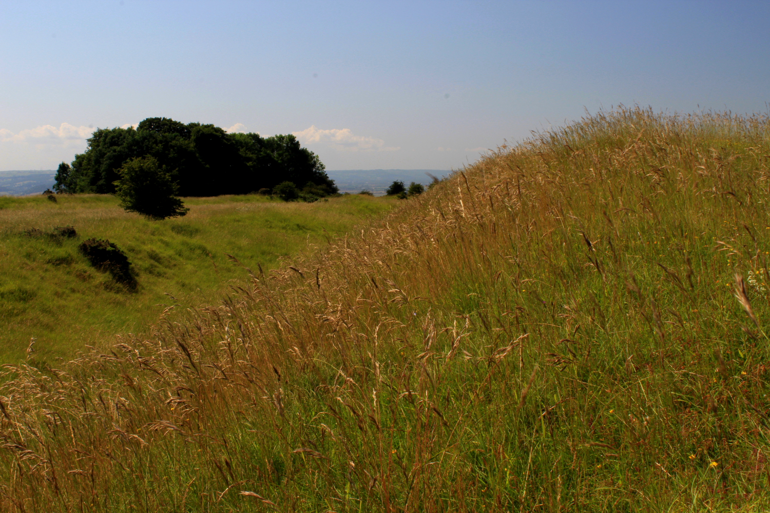
Inner bank, eastern flank... with the outer defences visible left background.

Kemerton Camp is not strictly a hillfort but powerful bi-vallate promontory fort, no artificial defences apparently deemed necessary to north and west.

Staying overnight with family at Pershore I guess it’d been rude not to finally have a look at Bredon Hill..... looking towards The Malvern Hills from the powerful inner defences to the south.

Pre-dawn Kemerton Camp through the train window.

The outermost rampart on the southern side of the fort.

The outer southern defences.

The inner rampart.

The western end of the inner rampart. The Malverns would be the obvious skyline feature from here, but the thick haze rendered visibility quite low.

The inner southern rampart. The hills around Belas Knap long barrow can be seen on the right.

The inner entrance, flanked by inturned banks.

The inner eastern rampart. The outer rampart can be seen some distance away over to the right.

The northern end of the eastern ramparts.

Outer rampart on the eastern side of the fort. The Cotswolds are the hills beyond.

Severn Valley context, from Witcombe. Bredon Hill in the distance, right of centre. Other Iron Age sites on the Malverns (far left), Churchdown Hill (in front of the Malverns), Oxenton Hill (right of Bredon) and Nottingham Hill (far right).

Jabez Allies 1852 woodcut of the camp.

Another section of the rampart – picnicers for scale

View from the hill fort, looking towards the Malverns – what a commanding position!

Bredon Hill fort – bank and ditch

The western ‘cliff-edge’ of Kemerton Camp now sports a more modern, but not SO modern drystone wall.

The earthworks enclose an area of 22 acres.

The tower known as ‘Parson’s Folly’ looks out Westwards towards the Malvern Hills and is sited upon the highest bank of the fort.

The inturned banks form a wide entrance on the S/E corner of the enclosure.
A walk around Kemerton Camp upon the hottest day of the year. OK, more like a stagger....
From “On The Ancient British, Roman, and Saxon Antiquities and Folk-Lore of Worcestershire” 2nd ed – Jabez Allies (1852):
“At a land-slip at the top of Bredon Hill, which happened at the beginning of the present century*, a considerable quantity of wheat, of a parched appearance, and which had been buried in the earth, was discovered. This is supposed to have been an ancient granary, but of what people is uncertain. A specimen of the wheat was presented to the Worcester Museum by Mrs. Davies, of Elmley Park. Wishing to know the particulars, I wrote to Mr. William Prior, of Kemerton, who, in reply, informed me that about thirty-five or forty years ago, after a very wet season, as the late Miss Martin, of Norton, was riding along the parapet on the top of Bredon Hill, in the field called Kemerton Camp, her horse began to sink in the ground suddenly and rapidly; that however she kept her seat, and the horse, which had gone down about four or five feet below the level of the firm ground, sprang up and regained his footing. That so soon as Miss Martin had recovered from her surprise, she saw that a land-slip had occurred, and that she had landed on the firm side of the chasm, which at that time opened about thirty feet wide at the surface and about forty feet deep**; but that it is since partially filled up by the crumbling down of the sides. That he was at the house of the late James Martin, Esq. of Overbury, some few weeks afterwards, when a portion of the parched wheat, found in the excavation, wa shown to him and some other gentlemen, and the general opinion was, that it was part of the stores left behind by the Romans, Saxons or Danes, at the time when they were there encamped.
*About the beginning of the last century, a hillock on the side of the hill, containing about an acre, with its trees and cattle, slipped nearly 100 yards down.
**Some say the chasm was about 200 yards long.”
Inevitably there is a lengthy discussion on when and how the wheat came to be there, with far too many commas and the names of various local gentry Mr Allies spoke to. He concludes:
“Perhaps the best answer to the above is, that the ancient Britons parched their corn before placing it in subterranean granaries for long keeping*.; but whether it was parched in the ear and then thrashed out, or parched after it was thrashed, may be a question.
.....
*Similar subterranean granaries are mentioned by Tacitus in his account of the customs of the Germans.”
Indeed. As a postscript, deposits of Iron Age wheat have been found on Bredon Hill during modern excavations, for example in association with infant burial in a post hole during a 1937 excavation (“The Excavation of the Iron Age Camp on Bredon Hill, Gloucestershire, 1935-1937” – T. Hencken).


