Open Source Environment agency LIDAR
Image credit: © Environment Agency copyright and/or database right 2015.
Open Source Environment agency LIDAR


Between the bivllate defences to south-east(ish), inner bank to left.

To south-west, the arc behind the camera suddenly reduced to mere footings ......... For me the tree simply says, ‘Dartmoor’. A little un-nerving, perhaps, but hey. Bring it on.

The traveller could be forgiven upon arrival for believing Cranbrook Castle to be an earthen enclosure. However..........

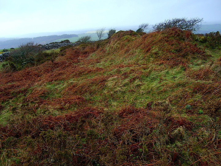
Despite being heavily overgrown with gorse and having the western arc missing, the defences remain substantial.

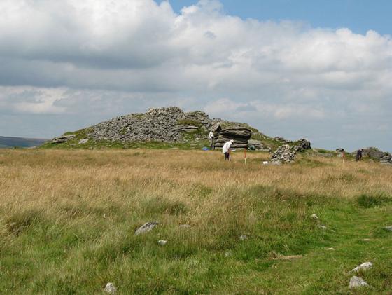
View over Dartmoor from Cranbrook castle. August 2008.

Cranbrook castle. August 2008.

Cranbrook castle. August 2008.

Cranbrook Castle Hill Fort – 1.4.2004. The south side of the hill fort, looking west.
Cranbrook Castle Hill Fort – 1.4.2004
After a hard afternoon on the Moors I decided to cheat my way to the top of Cranbrook Castle. I’m sure it’s probably a nice walk from Fingle Bridge up to Cranbrook Down, but it’s also a climb of about 220metres of height in only one kilometre! So I noticed the access from the south, which involved only a short walk and climb (and one gate). A small triangle of land exists at SX748888, which I guessed might be easy to park at. Well, despite a quaint little metal bench being there (suggesting a lovely spot to stop at), it’s actually a muddy lane and was full of forested trees (ranging from enormous to small)! Instead I found somewhere to park just off the country lane. In this tiny triangle of land an old trig pillar has been set up. This was originally put on Cranbrook Castle in February 1949 but was later made redundant and moved there in 1993 by the Parish Council.
The ramparts are pretty impressive, especially on the south side, although the gorse makes it hard to explore too much. At 357 metres above sea level this is a real high point in the area. The opposite hill fort of Prestonbury Castle is visible, as are panoramic views across Dartmoor. Lovely.