
Image Credit: Environment Agency copyright and/or database right 2015.
Image credit: Open Source Environment Agency LIDAR
Image Credit: Environment Agency copyright and/or database right 2015.


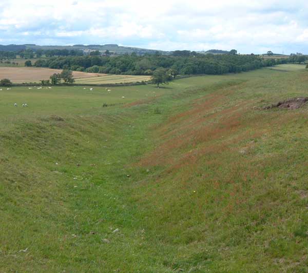
Only the western side of the fort still has well preserved ramparts and ditches. They’re not particularly spectacular, about 4ft at their tallest and the ditches slightly wider.
Patches of erosion reveal the grounding stones, possibly the remains of facing. There seems to be an entrance still visible. The original ramparts must have covered quite a larger patch, roughly 150m diameter, assuming the fort was vaguley circular.
Careful at the south end, there’s a drop down a cliff into a small disused quarry.


