Image credit: Robert Gladstone

Godstone looms through the morning mist. The not immediately recognisable remnants of the southern barrow stands immediately before the house, left background

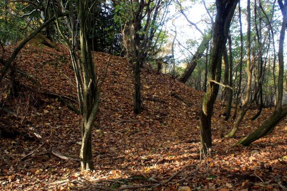
The northern barrow from the south... pretty substantial.

The northern barrow was adapted as the base of a windmill, the last incarnation of which was demolished c.1890. Sadly the northern rim has been lost to Greensand extraction.

The great northern barrow, approaching from approx south-west

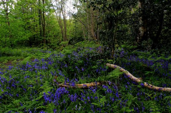
View of Hilly Fields

Parish council sign at the edge of Hilly Fields. Up from The Hare and Hounds pub and public footpath. Top pub! Well worth dropping in for a snifter or two after a hard days Modern Anitquarian wandering (and hopefully NO digging!)

View of barrow(s) from NW edge of Hilly Field
Godstone Village in Surrey provides a central hub to explore various interesting sites ranging from the Mesolithic, Bronze and Iron Ages.
This is great to find just outside of the M25 and a short trip away from London!
Recent Mesolithic finds are found at North Park Farm
Near to the village are the remains of some Bronze Age tumuli and are well worth checking out. North of the village green – take the public footpath by the Hare And Hounds pub and after 100 yards or so enter the field marked as Hilly Fields which is marked as owned by English Heritage, and follow the path(s) to the north where there is an obvious incline containing supposedly two Bronze Age barrows. There are no signs but a deliberate path has been cut and takes you up and onto a clearly defined mound – where the centre appears slightly hollow (no doubt from historical digging).
I struggled to pinpoint the location of the second barrow due to the summer plant growth (yay! thistles too!) but presumed it was directly south on the rise below the main barrow. The field undulates before you with many possibilities that this could have been a cemetery, but is rudely cut off to the north by a fence and the boundary to a private reservoir.
To the south east of the village and the Parish church at Leigh Place there is evidence of an Iron Age fort and a spring called Diana… link here