I couldn’t make out/wasn’t aware of the apparent northern cairn... however, as can be seen, the southern is pretty substantial beneath all that vegetation.
Image credit: Robert Gladstone
I couldn’t make out/wasn’t aware of the apparent northern cairn... however, as can be seen, the southern is pretty substantial beneath all that vegetation.


Looking approx south past the southern cairn to Black Hill. There is a quintet of excellent cairns up there....


Locating the row in high summer is no mean feat... looking across Trendlebere Down from the southern cairn

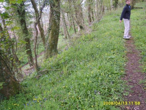
Southern cairn.... believe it or not?

17th May 2004
Visited 17.4.15
Directions:
Adjacent to a minor road across moorland to the north of Haytor Vale. O/S map required.
I saw this site on my O/S map and thought I would check it out. It’s not that often I get the chance to visit a stone row!
Although the road is narrow and parking is difficult we were able to pull over a little way to the south. The barrow is well mangled and is now no more than a low stony mound, easy to miss unless you were specifically looking for it.
30 paces to the north-east of the cairn is the stone row. I was able to identify a total of 10 stones. The tallest stones are the first two you come to. Both are approx 1m tall although one has fallen. There are then 4 smaller stones (approx 0.5m long) all of which are prostrate. There are then another 4 stones (approx 0.5m high) which are still standing. The final two stones are next to each other and clearly form a start/finish point. I suspect the same was originally true of the other end of the row.
This is typical moorland, rough gorse covered. There are good views along the valley to the east.
This site is a little out of the way but well worth the effort of visiting – I am glad I did.
Oddly, E.H. have nothing to report – so my notes will have to do!
According to the Devon & Dartmoor HER (HERMDV8076) the stone row upon Trendlebere Down (SX76600 79239) is:
“Probably a double row, much robbed, and many fallen stones; one undoubted pair of set stones left standing 940mm apart, face to face. It starts at the south end with a ruined cairn, now reduced to a mere ring-cairn. Terminates at north end in another ruined cairn, also reduced to a ring. At this end there is a mound which looks like an independent cairn. Its centre 15.24m to the west of the line of the row. More probably the remnant of the row cairn, turned back by the roadmen, who have despoiled both terminal cairns. The distance between the centres of the terminal cairns is 125.61m....”
Off road parking is available a little along the road to the north-west.. incidentally a short, stiff pull from here will reward the curious visitor with an audience with the quintet of large cairns upon the summit of Black Hill. Well worth the additional effort. But then I would say that, wouldn’t I?
Also worth mentioning is that the stereotypical ‘don’t visit in summer if you can avoid it’ caveat most definitely applies here.