The remains of a Late Bronze Age settlement “of considerable significance” were uncovered during the development of a new road, archaeologists said.
drewbhoy


The best bit of preserved wall on the north east.
Image credit: drew/AMJ

Good description, good photos.

Looking east, the water behind is the Crinan Canal.
Image credit: drew/AMJ


The inside of the suspicious hole, filled with fallen stones.
Image credit: drew/AMJ


The south wall heads west. Scarba, the island with the hill.
Image credit: drew/AMJ

To me, the line suggests another possible entrance and a definite change of builder.
Image credit: drew/AMJ


At some points the wall is over 3.5m in width.
Image credit: drew/AMJ

Looking down on top of the the possible souterrain.
Image credit: drew/AMJ
Excellent notes and photos with a lady in the hole.

The possible souterrain, very unlikely and no old lady with old fashioned clothes stuck in the hole. (see Canmore link)
Image credit: drew/AMJ


As normal, a walkers cairn on top of the north east section.
Image credit: drew/AMJ

The north east side of the entrance, with walls continuing.
Image credit: drew/AMJ


Taken from a pile of logs next to the track on the south west. The walls of Castle Dounie in the middle.
Image credit: drew/AMJ


Taking the long way round I approached from the north.
Image credit: drew/AMJ


The dun, in the clearing, taken from Cnoc-an-t-Samhlaidh (Symbolic Hills)
Image credit: drew/AMJ

The slight depression in the middle is the front door on the east side of the dun.
Image credit: drew/AMJ


The north wall, the island of Eilean Traighe almost immediately below, Eilean Dubh slightly further out.
Image credit: drew/AMJ

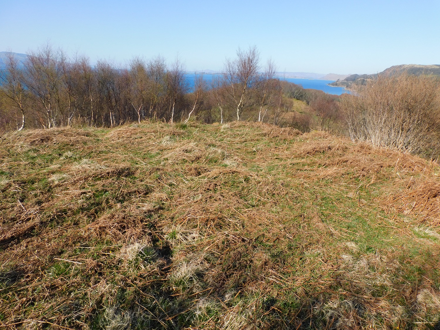
Looking north west down the length of the dun towards the Paps Of Jura.
Image credit: drew/AMJ

The north side, the north of Jura in the background.
Image credit: drew/AMJ


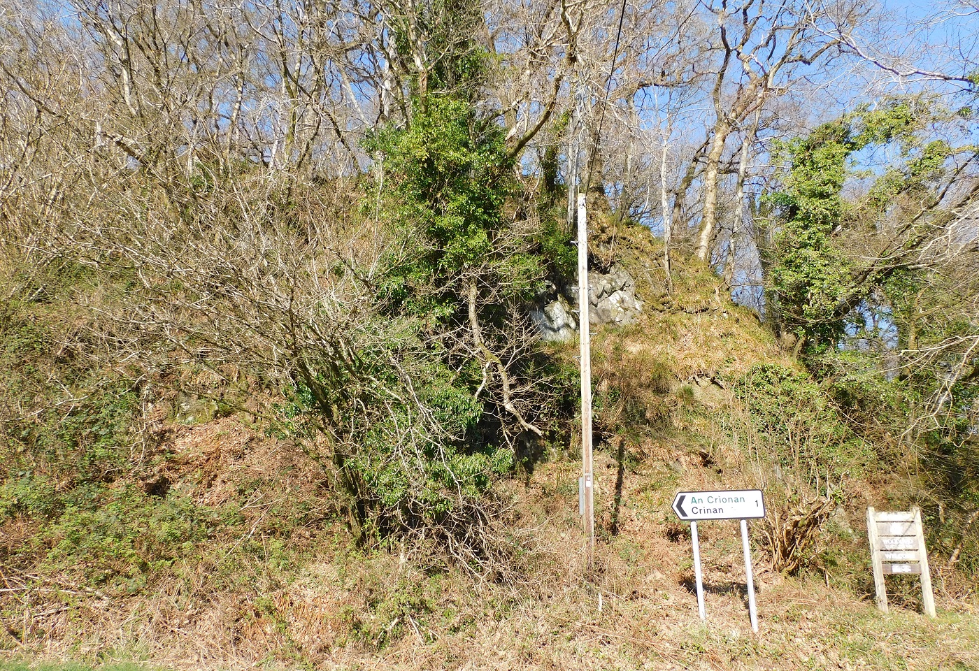
Robert the Bruce said try, try and try again, I took his advice, at the third attempt I made it.
Image credit: drew/AMJ

The trees in the middle are in front of the dun.
Image credit: drew/AMJ

1-50 of 13,164 postsNext page