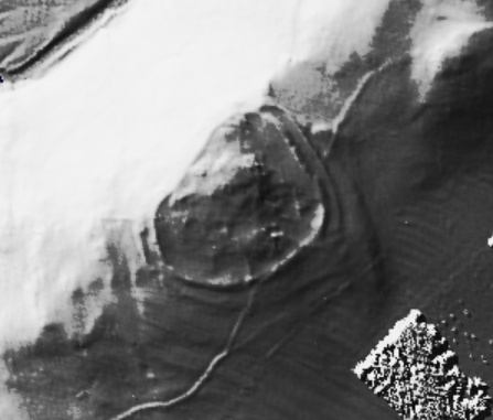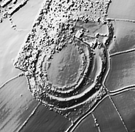
Image Credit: Natural Resources Wales

Image Credit: Natural Resources Wales

Image Credit: Environment Agency copyright and/or database right 2015.

Image Credit: Natural Resources Wales

Image Credit: Natural Resources Wales

Image Credit: Environment Agency copyright and/or database right 2015.

Image Credit: Natural Resources Wales

Image Credit: Environment Agency copyright and/or database right 2015.

Image Credit: Environment Agency copyright and/or database right 2015.

Image Credit: Environment Agency copyright and/or database right 2015.

Image Credit: Natural Resources Wales

Image Credit: Natural Resources Wales

Image Credit: Environment Agency copyright and/or database right 2015.

Image Credit: Environment Agency copyright and/or database right 2015.

Image Credit: Natural Resources Wales

Image Credit: Environment Agency copyright and/or database right 2015.

Image Credit: Natural Resources Wales

Image Credit: Environment Agency copyright and/or database right 2015.

Image Credit: Environment Agency copyright and/or database right 2015.

Image Credit: Environment Agency copyright and/or database right 2015.

Image Credit: Natural Resources Wales

Image Credit: Natural Resources Wales

Image Credit: Environment Agency copyright and/or database right 2015.

Image Credit: Natural Resources Wales

Image Credit: Natural Resources Wales

Image Credit: Environment Agency copyright and/or database right 2015.

Image Credit: Environment Agency copyright and/or database right 2015.

Image Credit: Natural Resources Wales

Image Credit: Natural Resources Wales

Image Credit: Natural Resources Wales

Image Credit: Environment Agency copyright and/or database right 2015.

Image Credit: Environment Agency copyright and/or database right 2015.

Image Credit: Environment Agency copyright and/or database right 2015.

Image Credit: Natural Resources Wales

Image Credit: Natural Resources Wales

Image Credit: Environment Agency copyright and/or database right 2015.

Image Credit: Environment Agency copyright and/or database right 2015.

Image Credit: Environment Agency copyright and/or database right 2015.

Image Credit: Environment Agency copyright and/or database right 2015.

Image Credit: Environment Agency copyright and/or database right 2015.

Image Credit: Environment Agency copyright and/or database right 2015.

Image Credit: Environment Agency copyright and/or database right 2015.

Image Credit: Environment Agency copyright and/or database right 2015.

Image Credit: Environment Agency copyright and/or database right 2015.

Image Credit: Environment Agency copyright and/or database right 2015.

Image Credit: Environment Agency copyright and/or database right 2015.

Image Credit: Natural Resources Wales