The kitchen middens are now clearly visable near the wooden steps near Constantine Island
Image credit: Phil Ellery
The kitchen middens are now clearly visable near the wooden steps near Constantine Island

Here is the reference I used for this supposed Stone Circle at Bowda.
It comes from Cornish Archaeology (1979); Parish check list for Parish of North Hill.
by Gwynneth King and Peter Sheppard.
The grid is 24537730
I have not been to the site to verify, but would hope there is something there!!


The Men an Tol stone circle.
Heres a map I drew based on the one in Cornish Archaeology No. 32, 1993
cornwall.gov.uk/history/cau/pub12.htm


map dated 1912 showing location of the church and other nearby sites.


Photos taken here are best done with a willing volunteer : )


The ramparts at Castle an Dinas perfect for wearing out children.
80 )

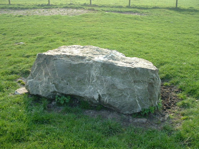
The stone in the fore ground is obviously a partner to the other that has now been covered. Both are touching the edge of the Bronze age barrow.


This stone lies near the north barrow. It is a photo I took about 2 years ago. It is clearly something to do with the barrow. There is another stone about 8 feet away of a similar size.
You will not see this stone any more as “Cornish Heritage” have seen fit to place an information board on top of it.
The stone is not visible anymore!

The large gorse bush roughly marks the centre of the circle.
The mushrooms in the foreground seem to grow in abundance in the area!


Just enough room inside if you climb in backwards!


from
Journal of the Royal institution of Cornwall Volume 10, page 190.

Groups of pits or hollows on sloping rock on the shore of the Gannel at “B” in the map Figures signify diameter in inches.
from
Journal of the Royal institution of Cornwall Volume 10, page 190.

Men Gurta indicated in the distance. (About 150 yards)

Natural Formation?
I don’t think so!............

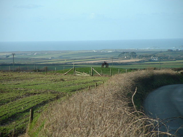
Looking from Watergate bay towards Porth Island. You can also see the twin barrows on the cliff top.
At one time this stone could be seen from Nine maidens. When it was standing it was over 7 feet tall. It was knocked down and broken for use in road building in about 1870?


feb 2003
There are at least 3 tumuli at the top, you can see one in this pic if you look closely.


This photo is not a fake these boulder formations are very common in the area of Luxulyan.


Carvings just visable on the cliff face behind. I used this photo to show the proximity of the ruined mills.

The 2 carvings shown here are 2 photos stitched together to compare them.