
Earthstepper


The horse does look a lot fatter, but otherwise is essentially the same as today. The illustration is from “The Green Roads of England” by R. Hippisley Cox, published in 1914 and re-issued in 1973 by Garnstone Press. The book contains many drawings and plans of hillforts etc and they are all very accurate. That suggests that this drawing of the White Horse is also reliable.
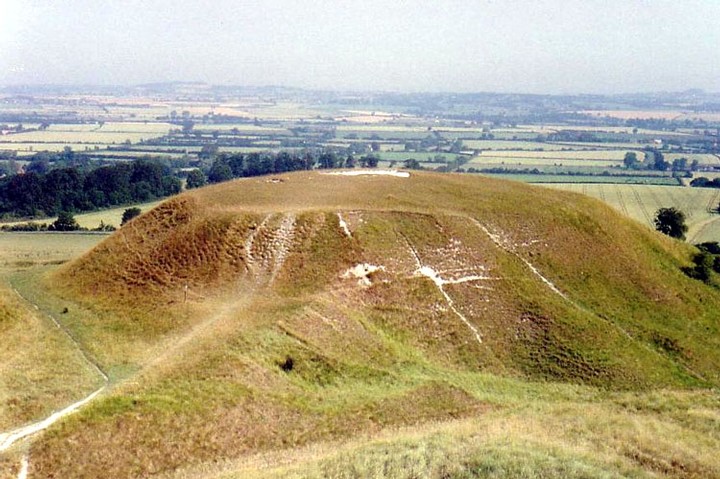
Image credit: W.W. Collins, R.I.


Small by Wessex standards, but rare in ploughed out eastern England, this long barrow is 31m long. A pile of bones was found at the lower end in 1855. A Saxon burial was dug into the eastern end.

There are ten Bronze Age round barrows on Therfield Heath. This group is unmistakeable, but some can be mistaken for golfers’ bunkers and a visit is often made hazardous by flying golf balls.


More than 500 Neolithic and Bronze Age sites have been excavated in the Isles of Scilly. With another 30 or so only accessible at the lowest tides, how many more are permanently submerged? Once a single island (with the exception of Agnes and Annet) did the inundation of Scilly give rise to the legend of Lyonesse?
See Fieldnotes and Folklore


Submerged sites shown on the marine contour map from Paul Ashbee’s “Ancient Scilly”. David and Charles 1974.


1-50 of 68 imagesNext page