|
 Posted by ryaner
13th May 2024ce
|
As we were camping within walking distance it seemed a shame not to visit. This is a massive stone! Like Jane says, shame about the cross perched on top. There's now an interpretation area across the road, in French, but with some great old photos.
I managed to get a stone on the ledge! I'm hearing wedding bells already!
|
 Posted by Mr Hamhead
13th May 2024ce
|
Visited 03.05.24
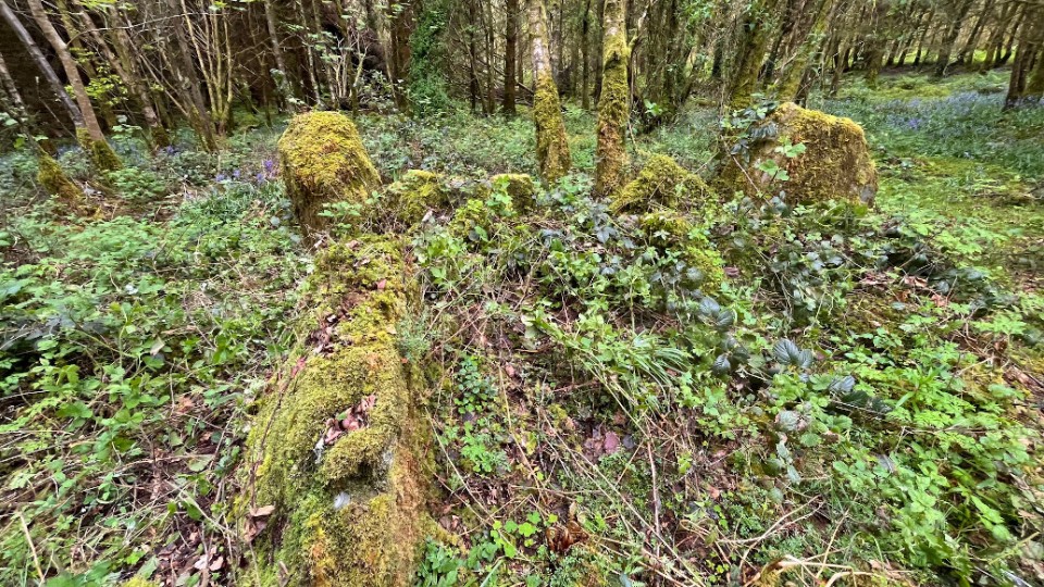
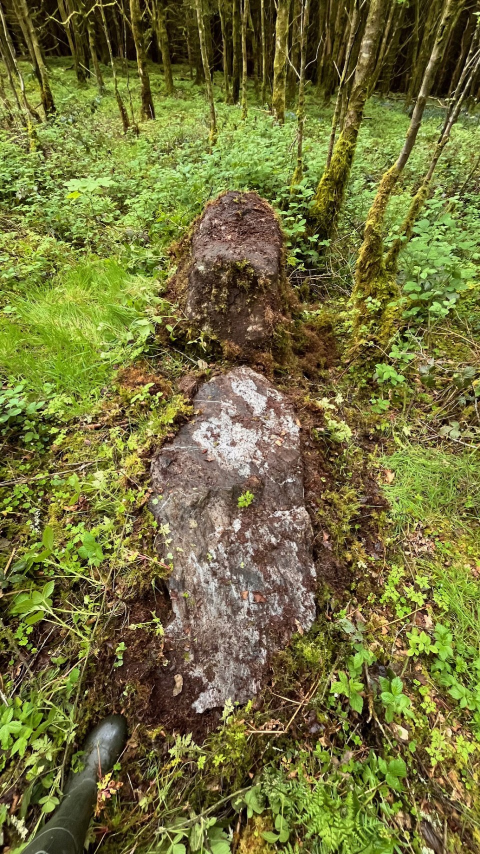
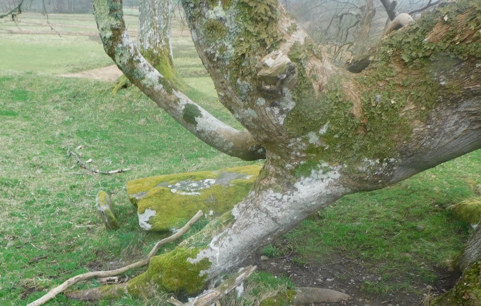
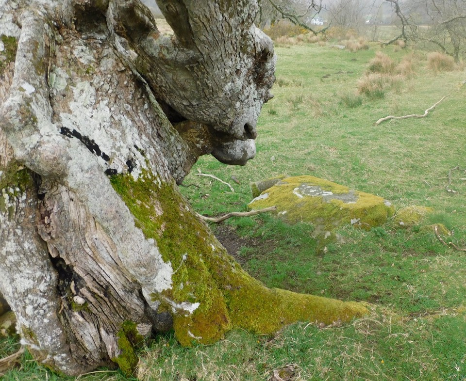
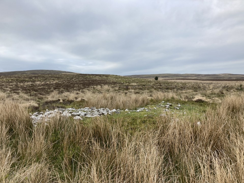
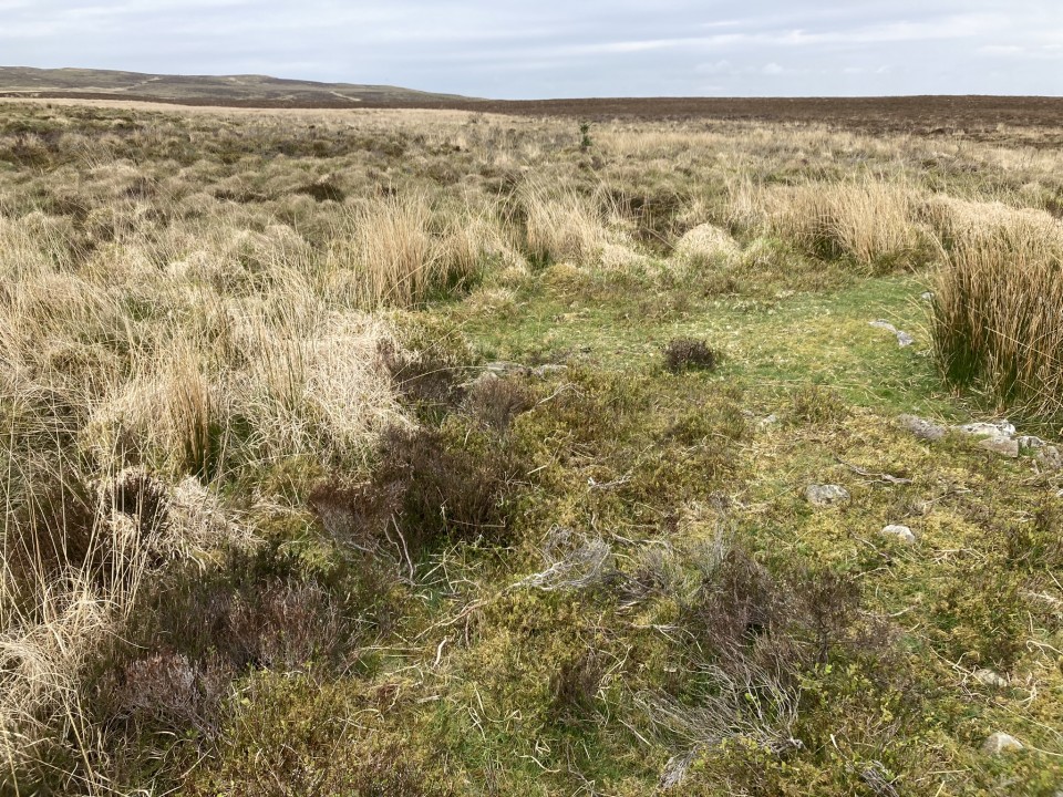
Drummanmoan Loan Cairn is located in open moorland c. 3 miles N of Penwhirn Reservoir in Dumfries and Galloway. This lonely green mound is hidden from view by marsh grass except on the N arc. The subcircular cairn measures c. 25 feet across and 2 feet high. A low scattering of stones on the W arc may be the remains of a collapsed modern cairn, described in Canmore ID 61902. The centre of the mound is occupied by a circular hollow of marsh grass.
If you like a yomp over bleak moorland, this is your bag. Park up at NX 1275 7270 on the Lagafater Lodge dead-end single track road. Follow the W bank of the Laganabeastie Burn N for c. 0.5 mile to reach an enclosure above the burn. Head NW along rough ATV tracks. The cairn is obscured by a ring of marsh grass on approach making GPS navigation essential. Return by the reverse route. My route can be viewed on Drummanmoan Loan Cairn. Having travelled so far from civilisation, it would be a mistake not to visit Laganabeastie Cairns, which are located in pasture c. 200 yards E of the Stone Bridge.
|
Posted by markj99
8th May 2024ce
|
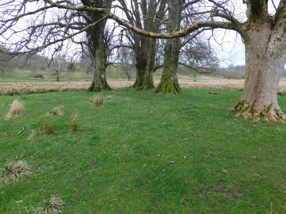
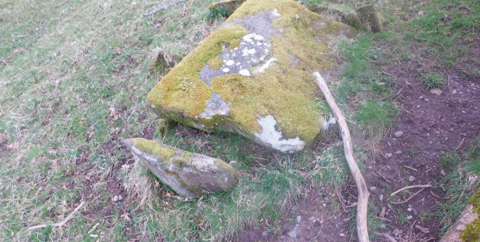
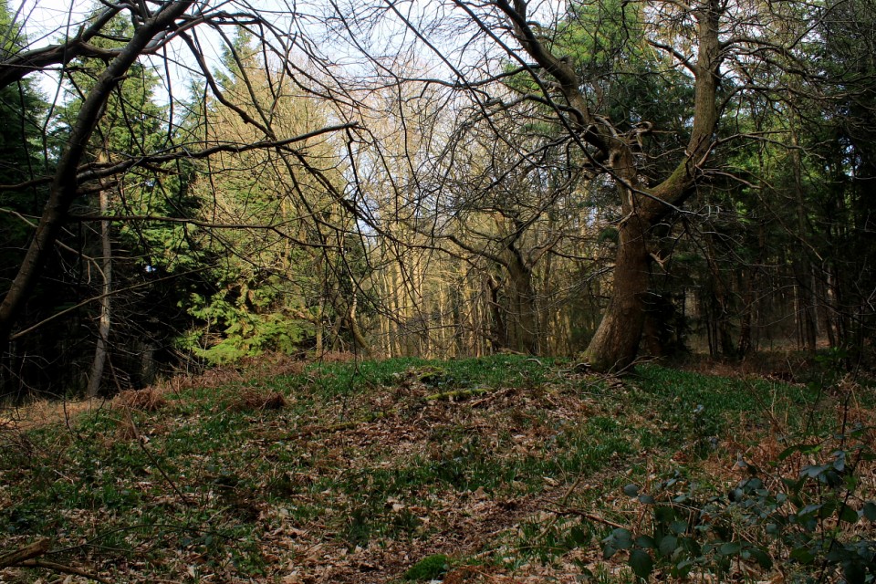
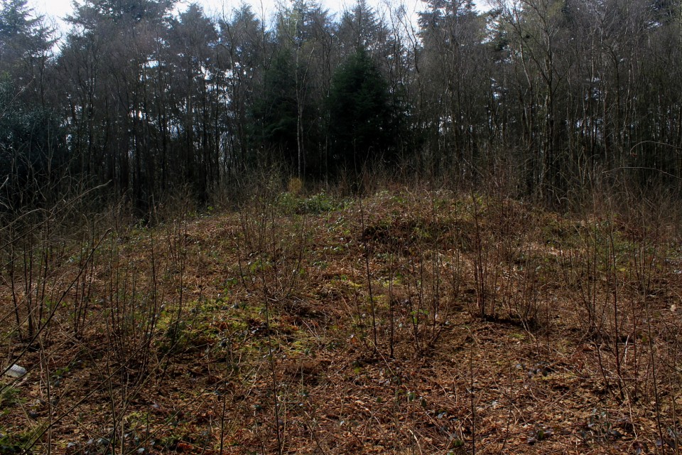
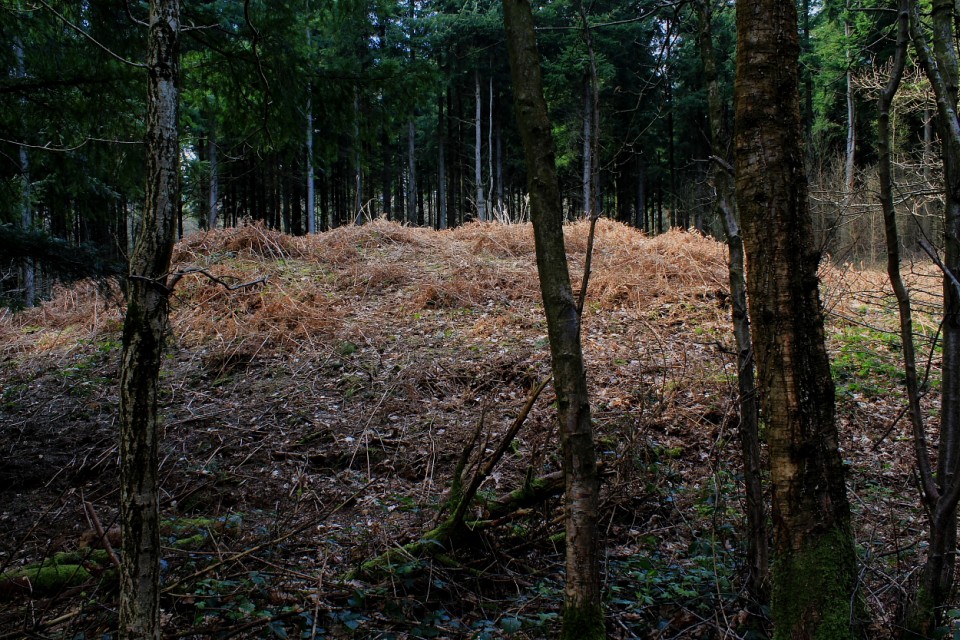
Mr Cane was clearly on a bit of a downer following his visit here some years back now... hey, it happens, doesn't it just? However, since the vegetation (judging by his images) was fortunately less overwhelming during my early Spring sojourn, I found myself in a position to disagree. Yeah, I liked it here and would recommend coming, this despite the woods proving a lot more popular with (non-antiquarian-minded) folk than I had anticipated.
Indeed, the eastern of the southern pair (of those monuments marked upon the map, that is - there are, apparently, a further three within the environs of West Wood not troubling the cartographers for whatever reason) is a particularly fine specimen of a bowl barrow, complete with encircling ditch. Its neighbour to the west, although not of comparable stature, is pretty substantial, too... the northernmost example, completing the OS annotated trio, slightly less so.
Access is straighforward from the B2068 - a Roman Road, aka 'Stone Street' - although the downside to that demonstrable obsession with 'straightness' is the traffic fair motors past; hence, there is some traffic noise to deny a perfect ambience. Note also that it is unwise to attempt to take a direct line (through the break in the trees) from the eastern of the southern pair of monuments to the western... if you value your legs, that is. Industrial-strength brambles all the way.
Incidentally, note that the round barrow at nearby Tumulus Farm (TR 13481 42341) is apparently of Roman origin. Sigh....
|
 Posted by GLADMAN
6th May 2024ce
Edited 11th May 2024ce |
|