Showing 1-50 of 155,708 posts. Most recent first | Next 50 
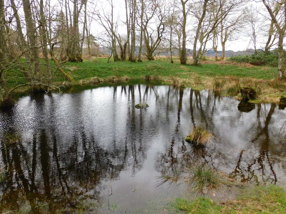
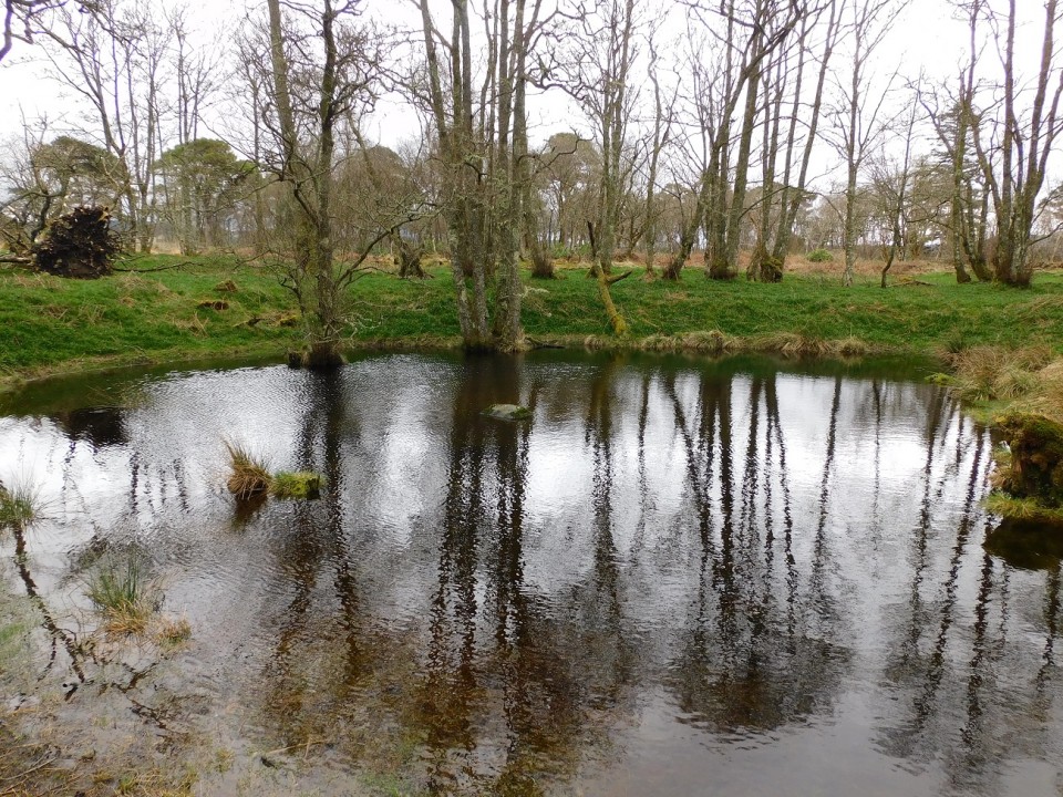
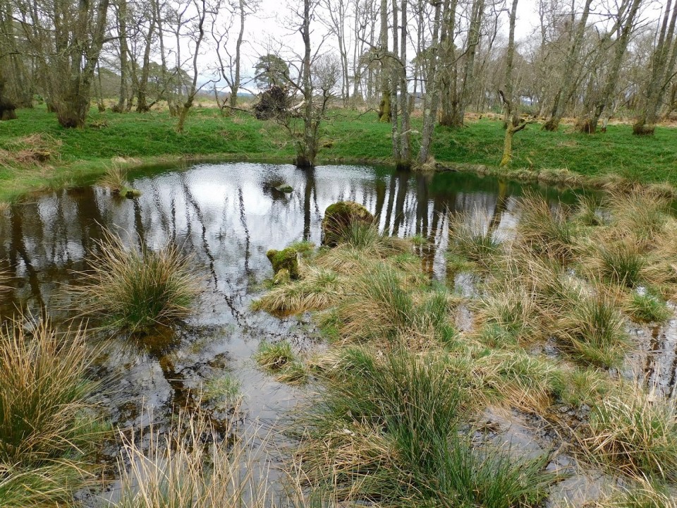
The wee loch emptied of water.
|
 Posted by drewbhoy
26th April 2024ce
|

|
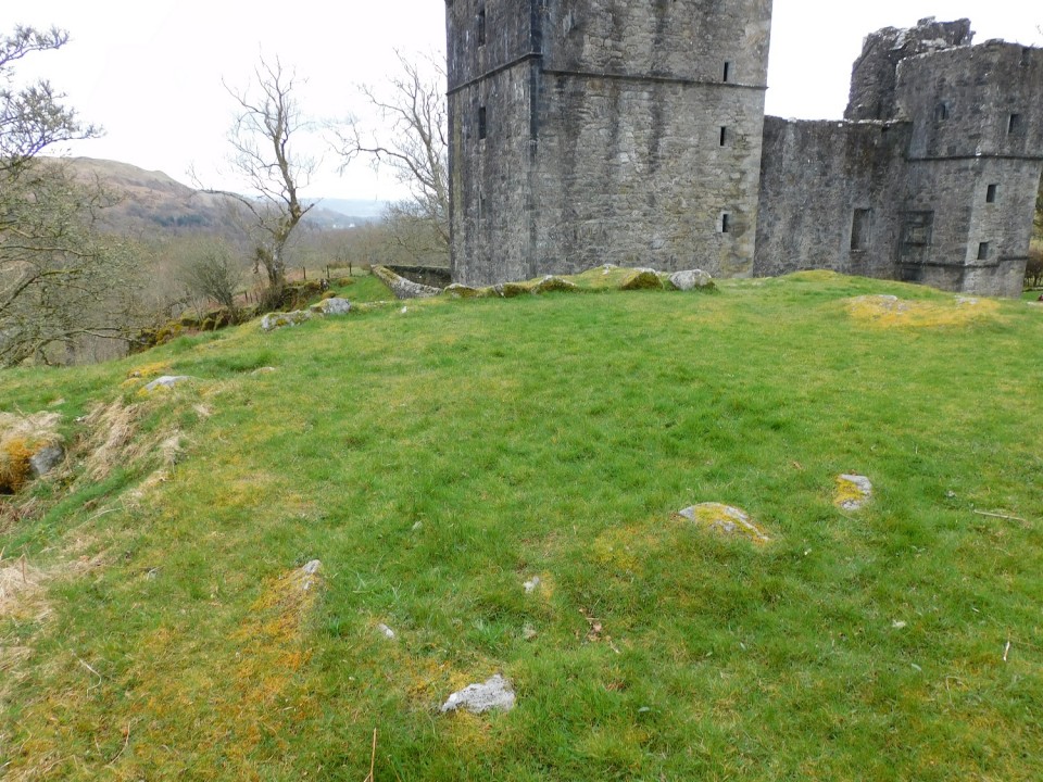
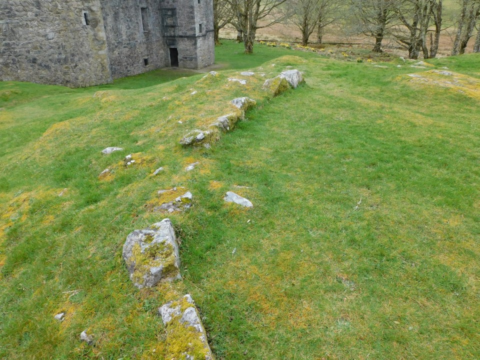
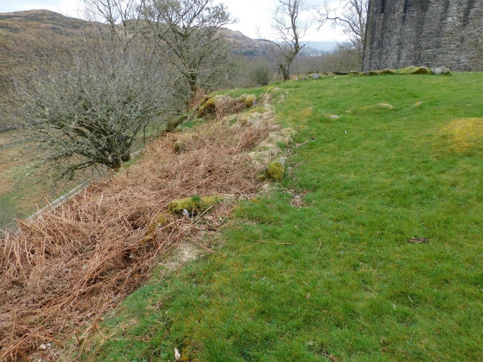
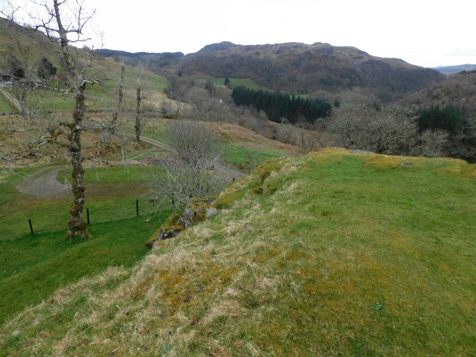
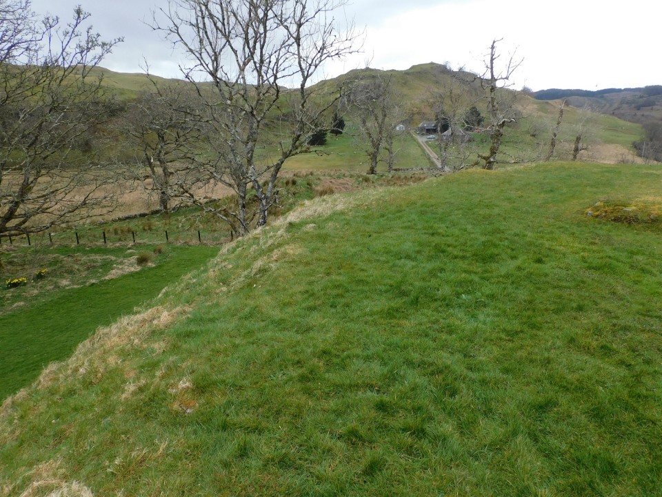
Posted by markj99
25th April 2024ce
|
Visited 03.09.21
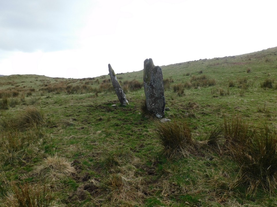
As Gladman suggested, the house adjacent to Sarsgrum Cairn has been renovated. The A838 is now part of the NC500 leading to more traffic passing the cairn, however it is still relatively easy to stop and view the cairn.
|
Posted by markj99
25th April 2024ce
|
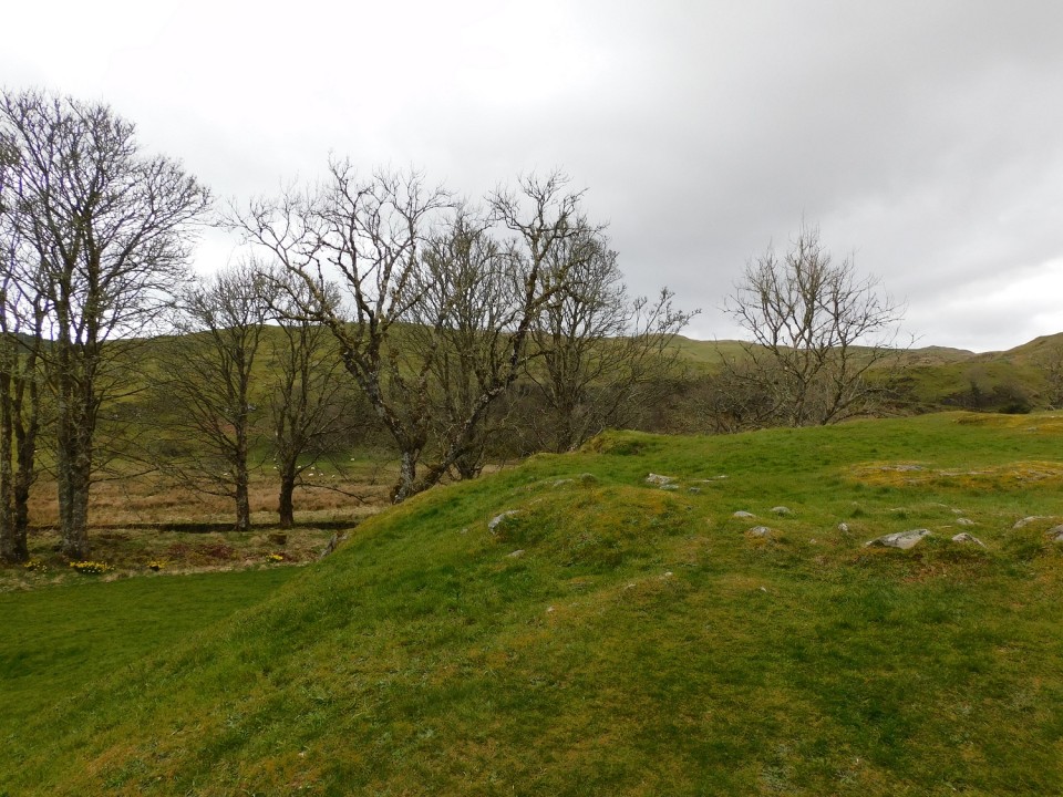
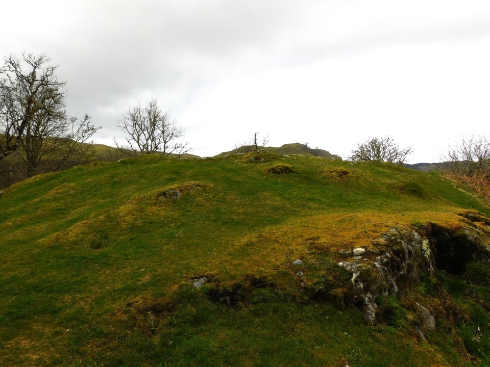
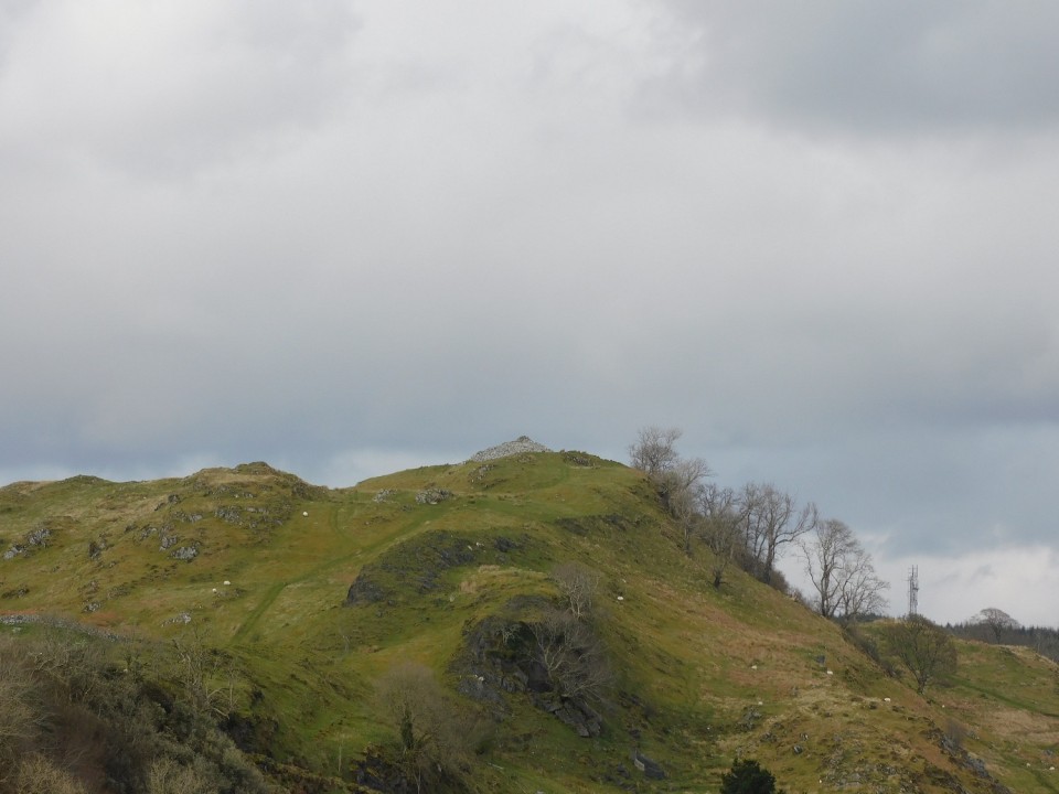
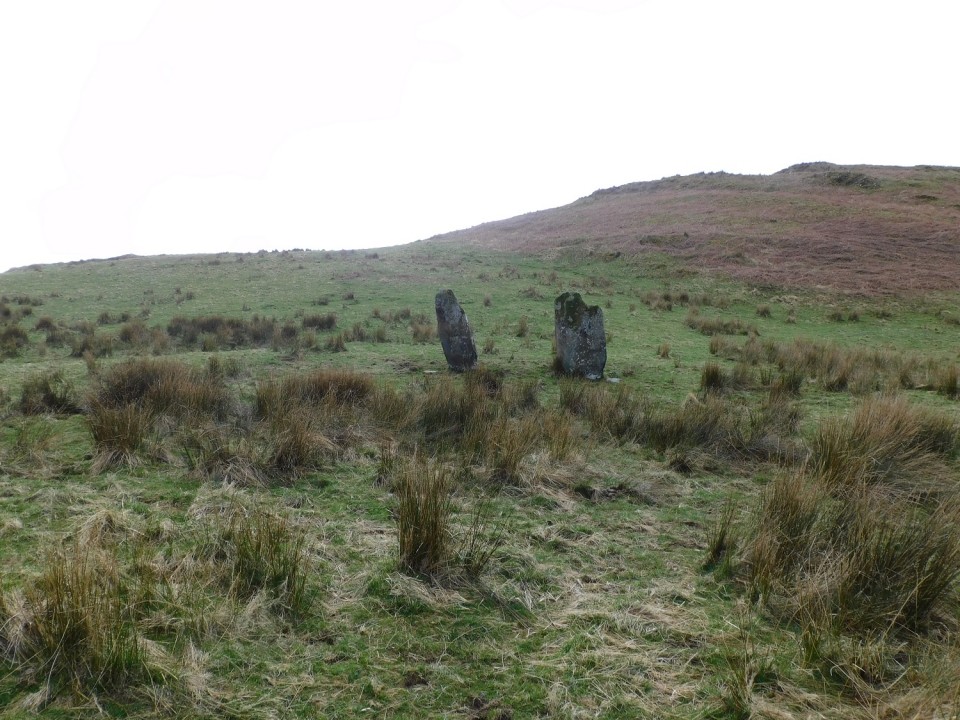
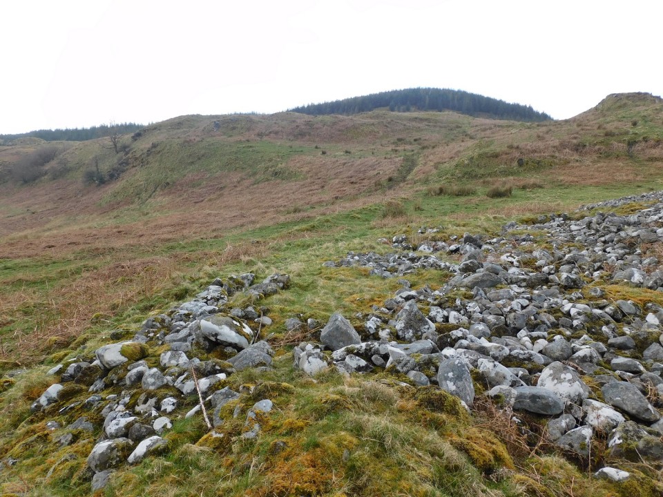
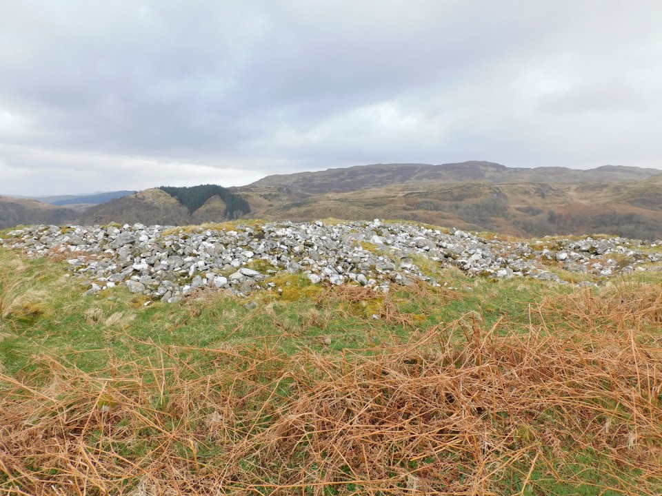
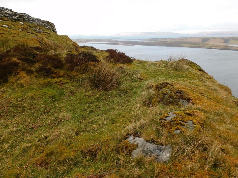
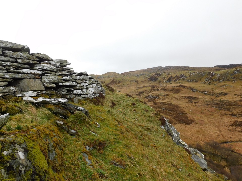
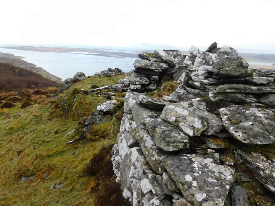
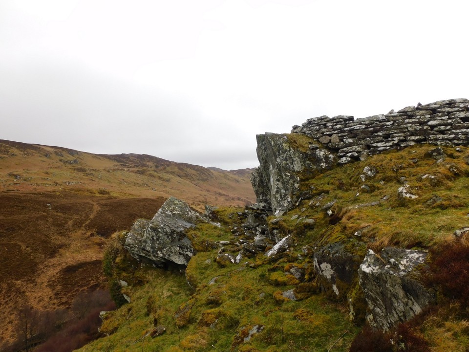
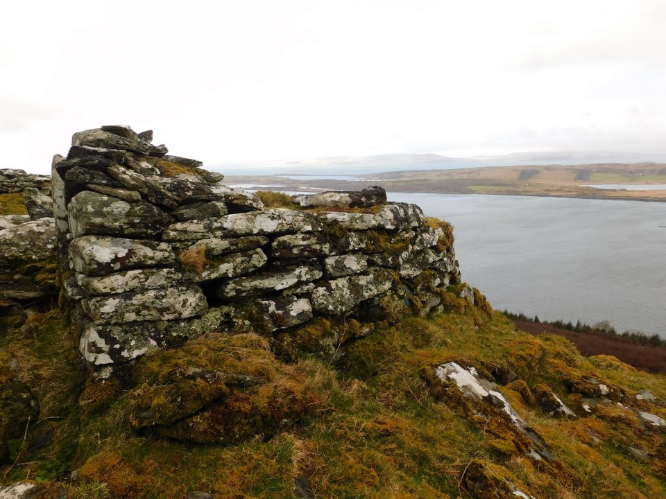
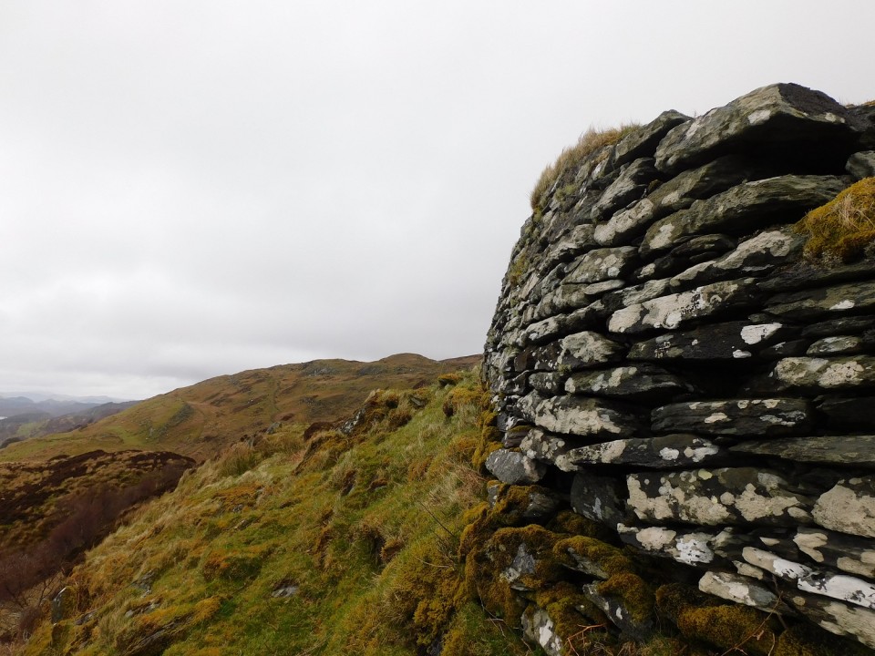
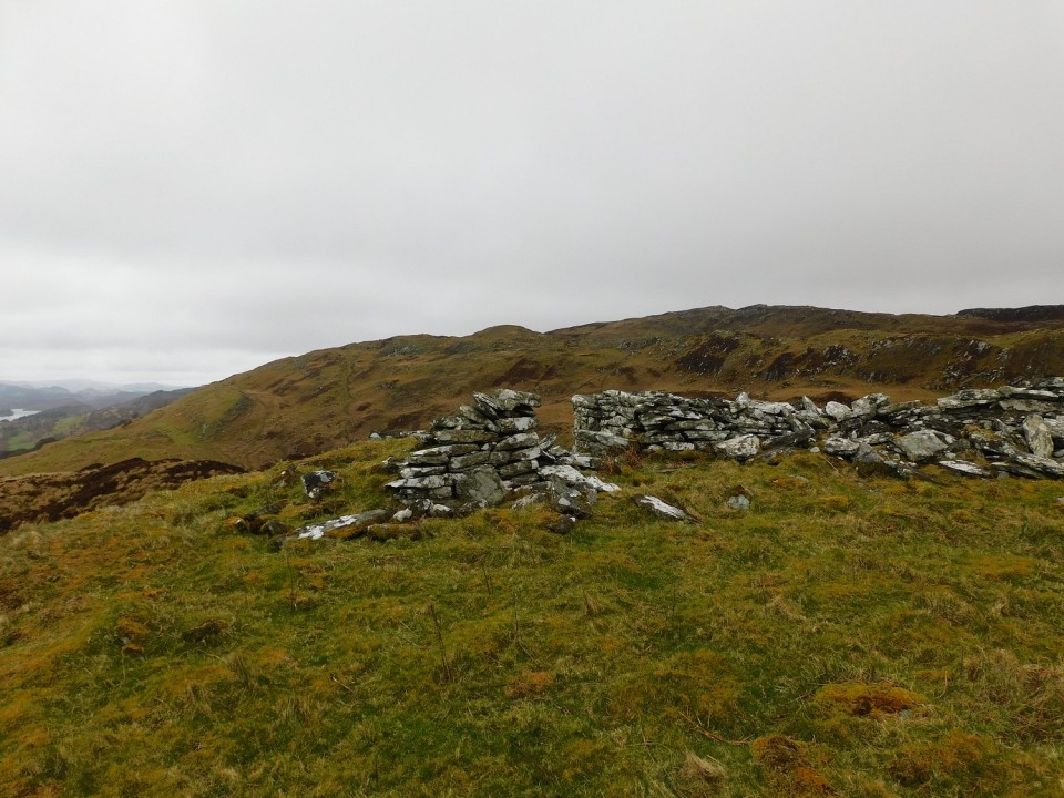
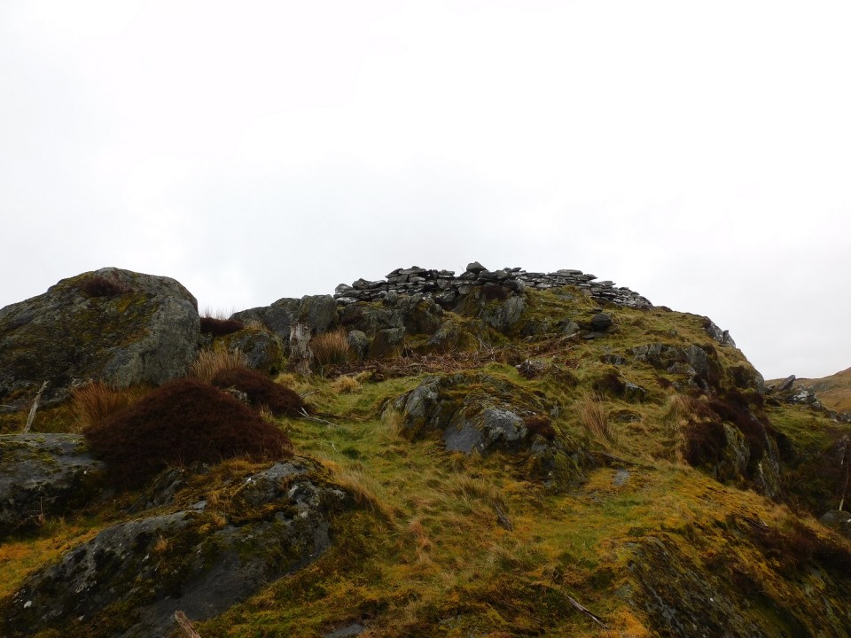
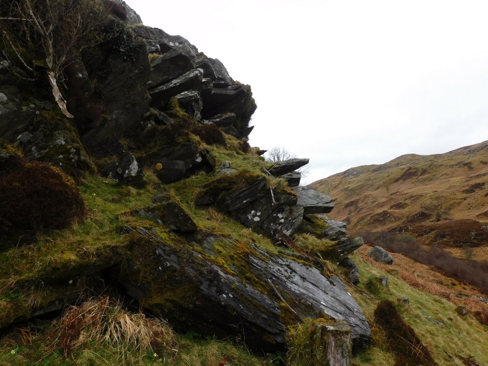
After Dun Fhuarlit I headed north east following a dry stane dyke until it met another similar dyke. Jump the dyke and remain on its south side.
There are several very large kerbstones still earthfast. Sadly, it is easy to work out where much of stones for all of the nearby dykes were found. The centre of the site is almost flat except for near the kerbs, some cairn material remains surviving at 0.3m to 0.6m in height. These dykes also cut into the site, trenching has also removed a few kerbs - it still sits at over 19m in width.
With the same views as its near neighbour Dun Fhuarlit, it's part 2 of a nice walk around the Kilmory Chapel. Part 3 being the nearby dun to south of the religious site.
Visited 08/04/2024.
|
Posted by drewbhoy
24th April 2024ce
|
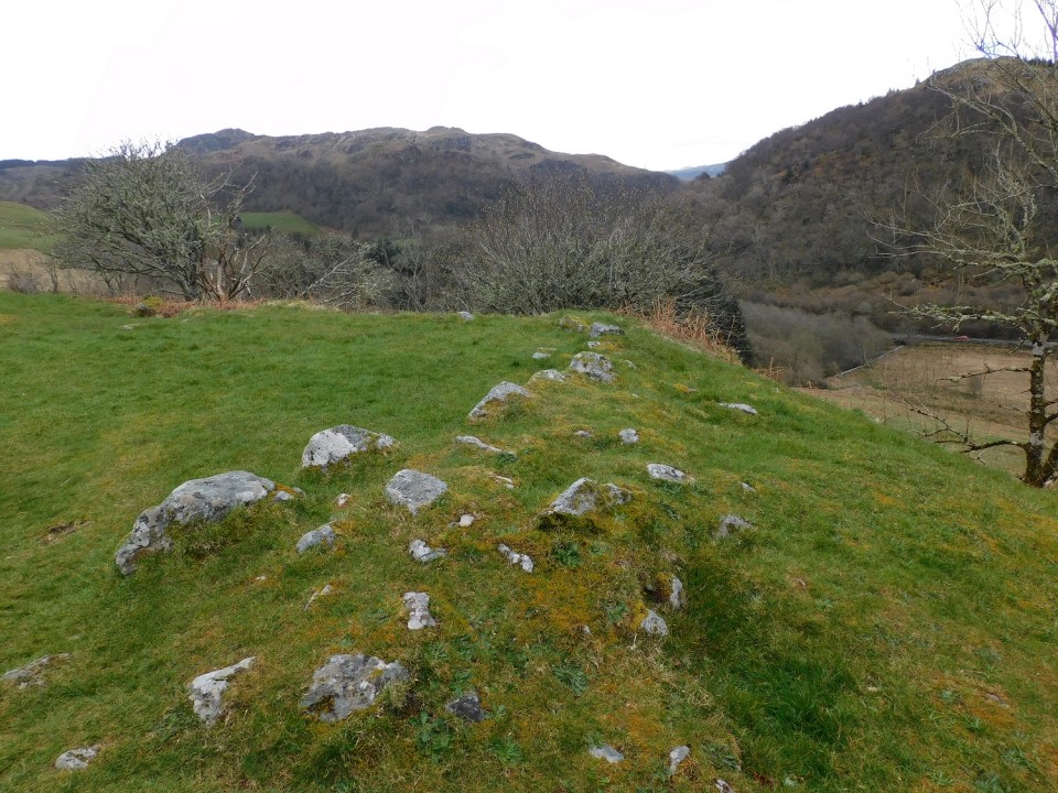
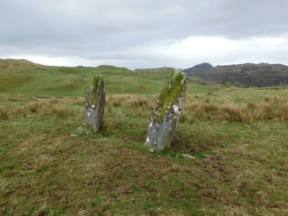
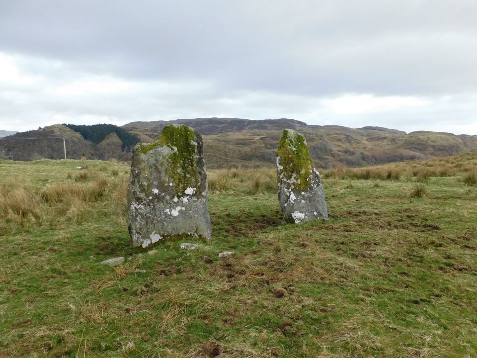
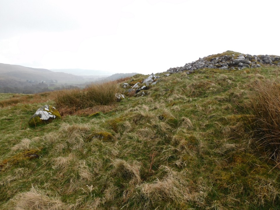
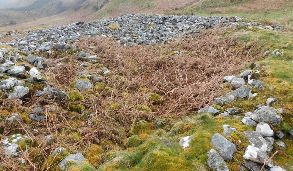
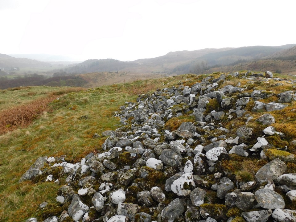
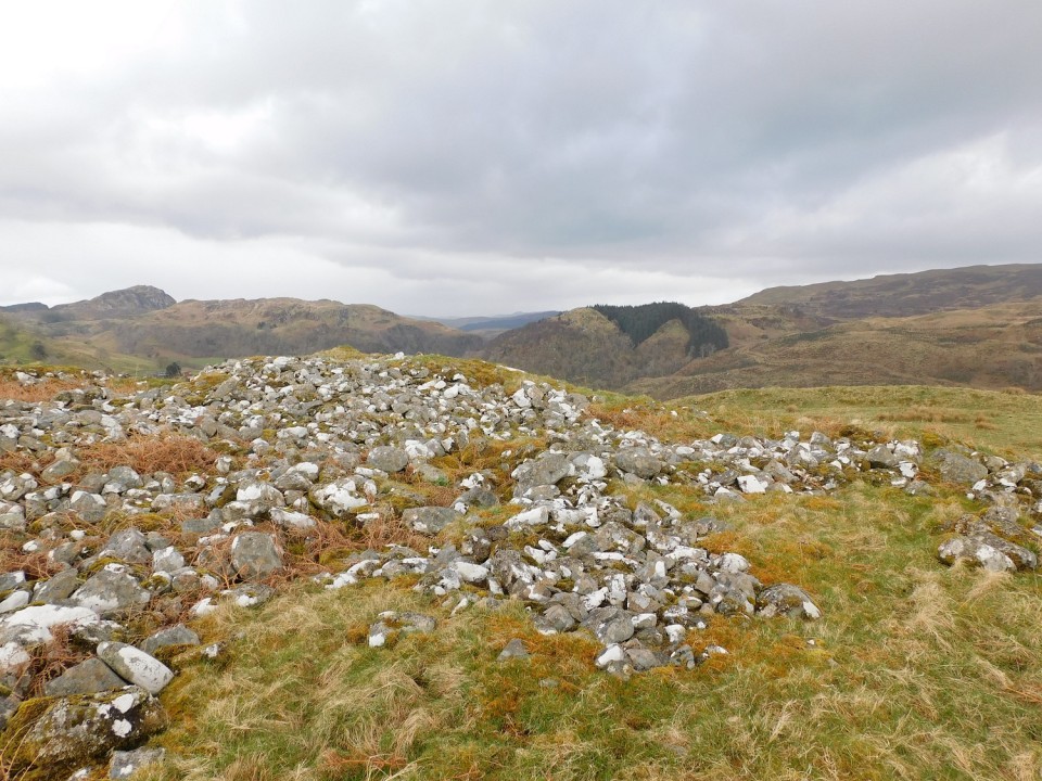
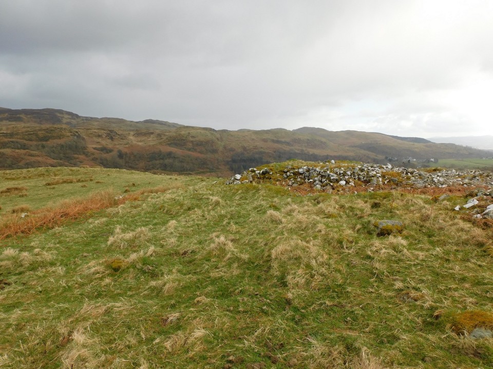
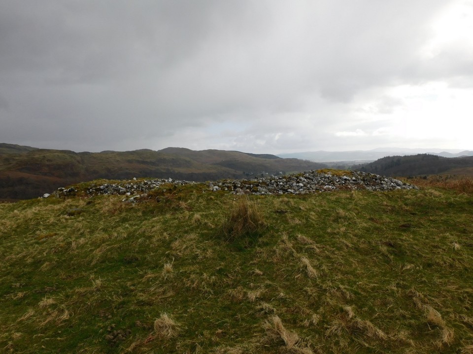
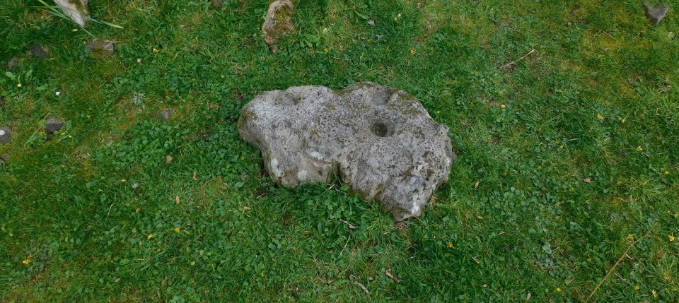
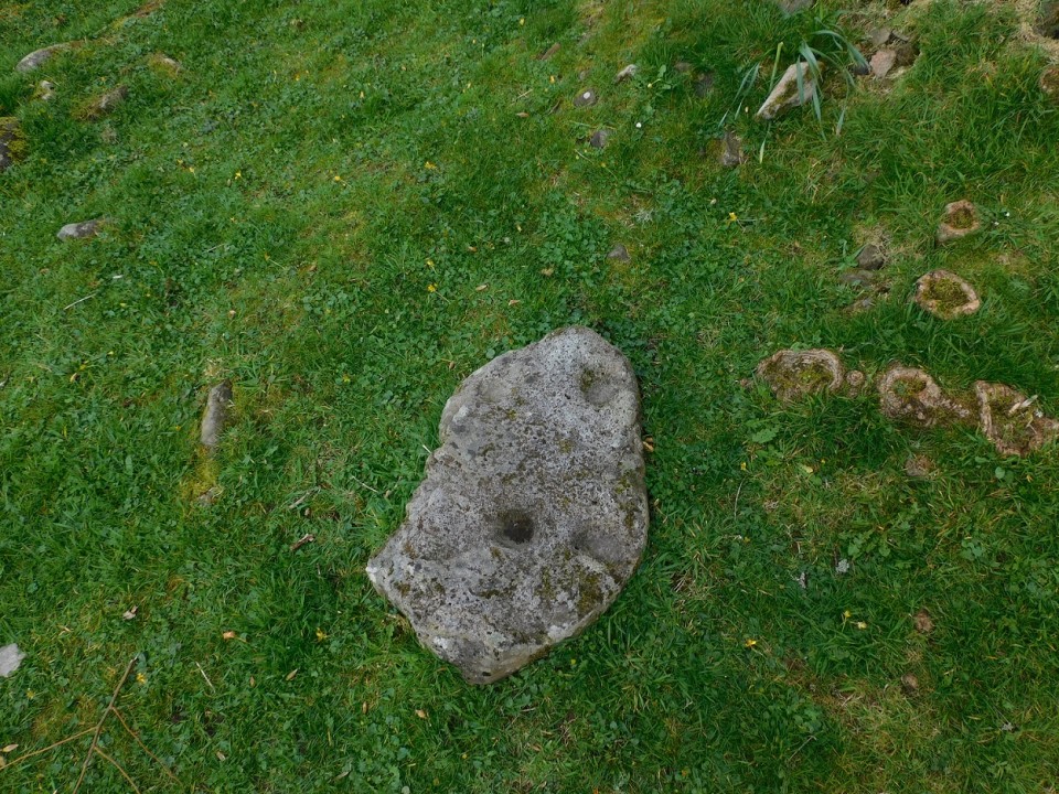
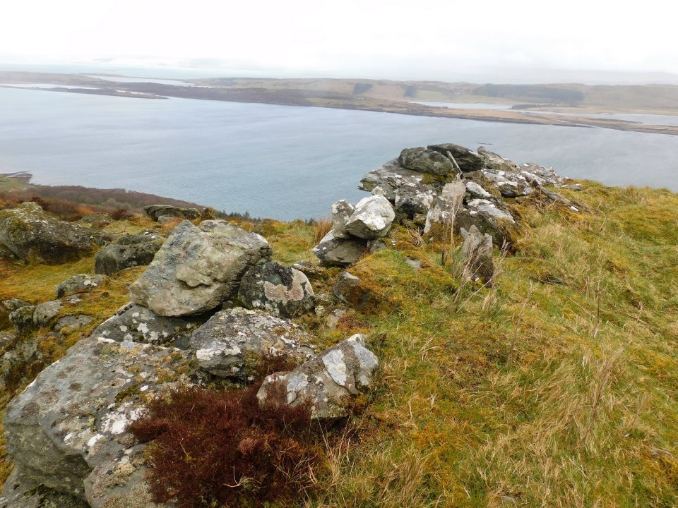
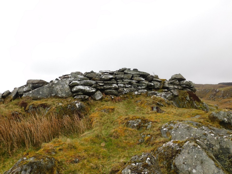
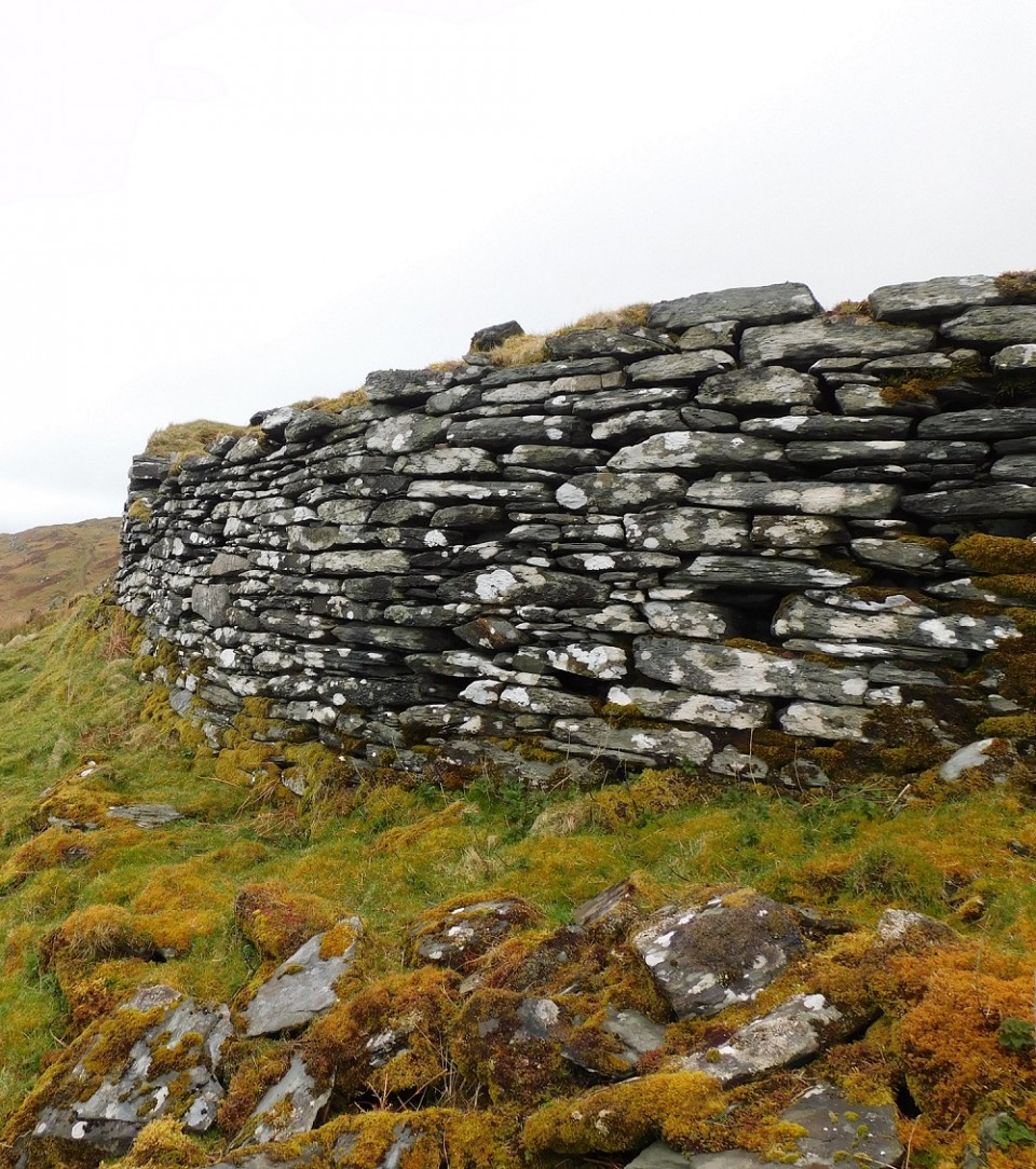
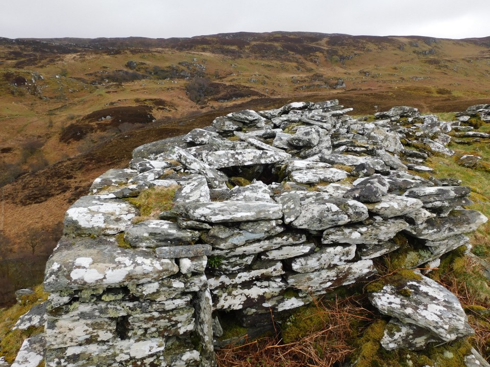
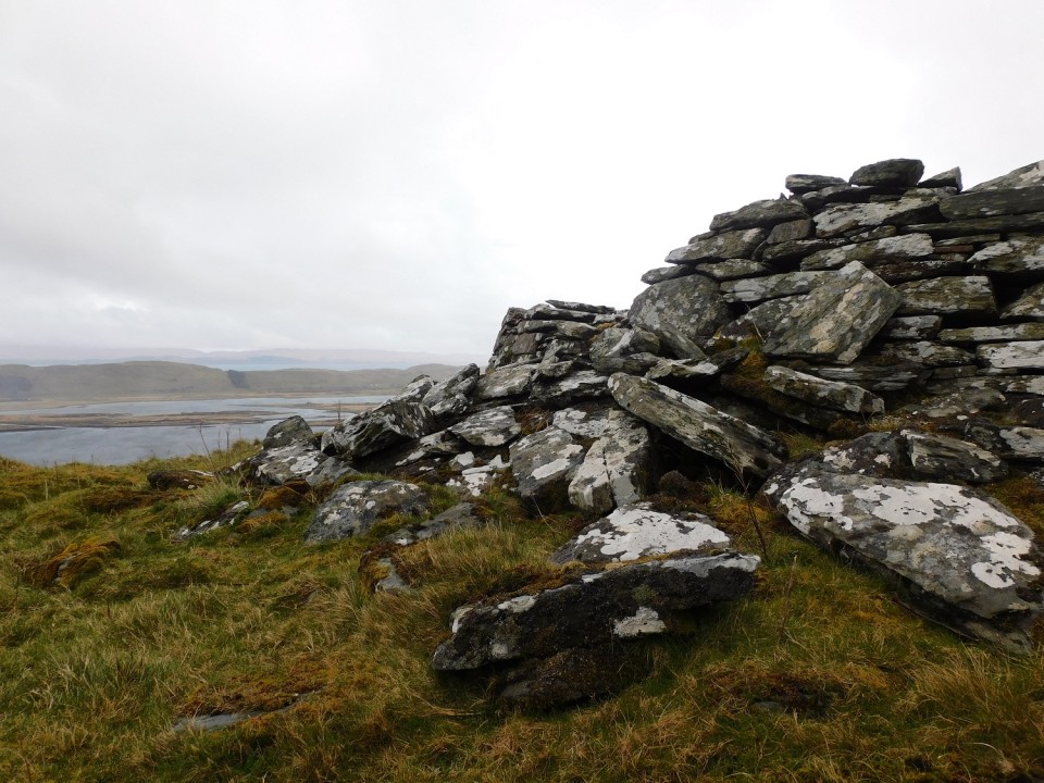
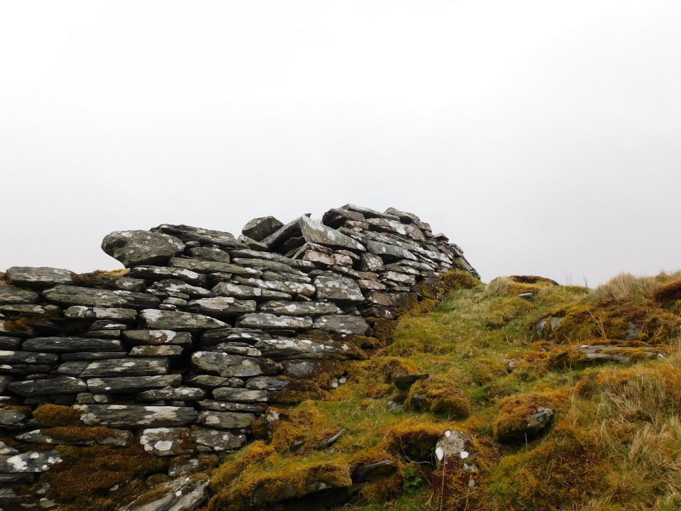
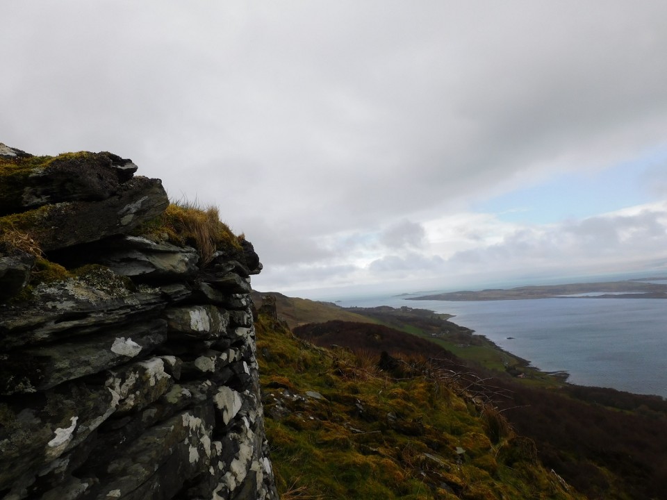
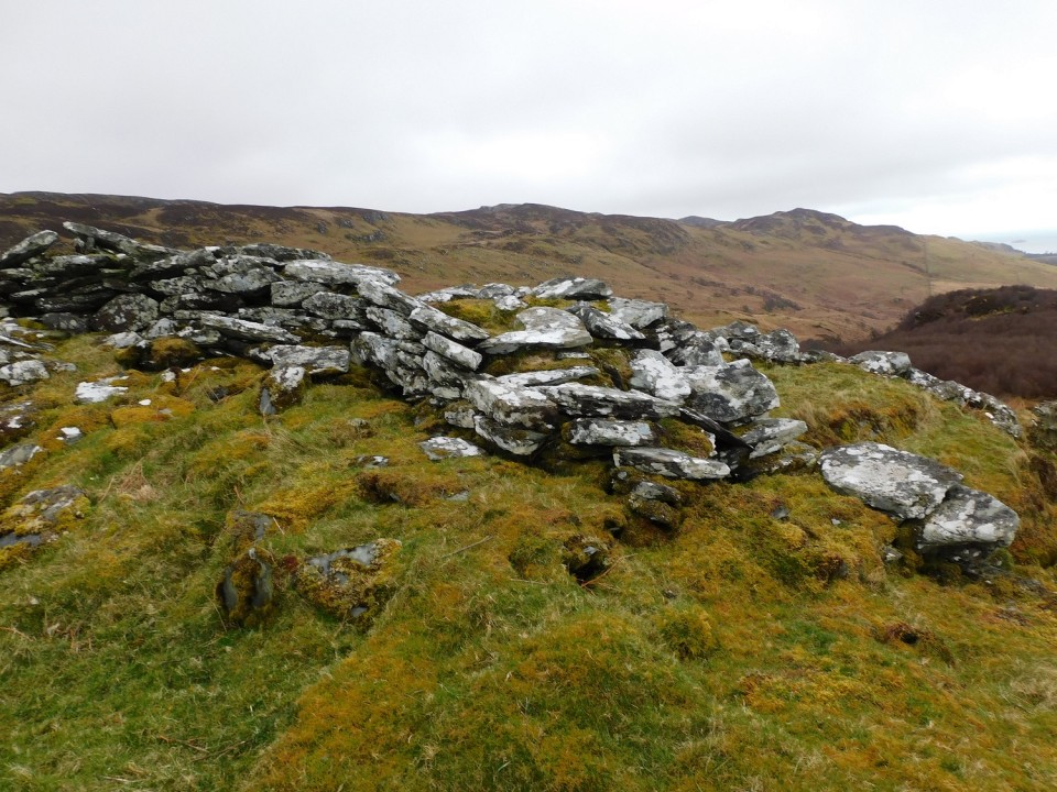
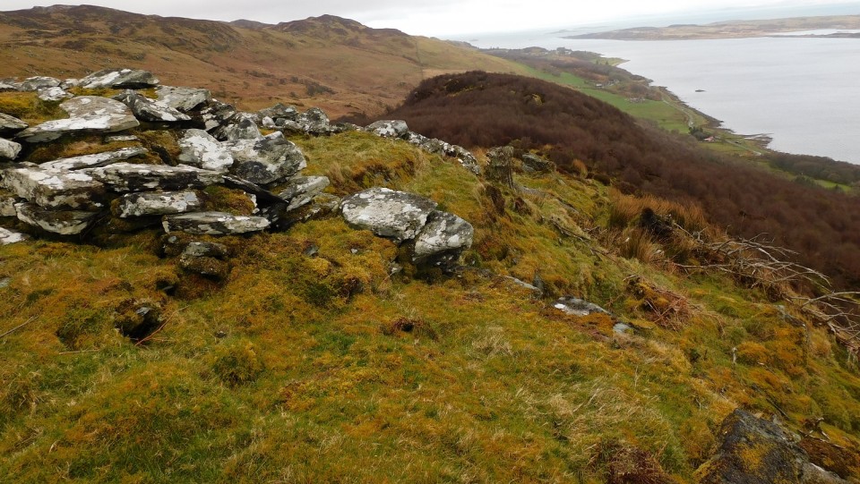
From Kilmory Chapel look west, a modern marker cairn sits on top of the ancient monument. The only obstacle is the Kilmory Burn which is a relatively easy jump. Surprisingly the ground was dry despite the recent storms, the Atlantic wind drying the grass, which in turn is kept reasonably short by the local sheep.
Kerbs remain in place around the southern side of the much exploited cairn. A lot of stones have been removed, leaving a site that is 19m wide and, in parts, almost 1m high.
Stunning views up and down various sea lochs, further west the Paps Of Jura dominate the skyline.
Visited 08/04/2024.
|
Posted by drewbhoy
24th April 2024ce
|
From 'Volpaire' on Google Maps
Dan Clancy was a local man who grew up on Slievecorragh and often walked its slopes with his family.
Dan and his many siblings spent many happy childhood days there, and often went up in the evening to watch the sun set.
Clancy later emigrated to New York, where he was diagnosed with terminal cancer. He passed away in 2004 at the young age of 31.
Following his death, his brother Andrew – a sculptor – created the chair as a memorial to Dan. Andrew Clancy, is said to have based it on one in the family kitchen.
There are many teddy bears left on the chair by hikers and those wishing to commemorate him. The ring on the chair and the original teddy bear were donated by Clancy’s partner in New York.
|
 Posted by ryaner
19th April 2024ce
|
Showing 1-50 of 155,708 posts. Most recent first | Next 50
|