The Modern Antiquarian
Log in
|
Register
Home
Latest Posts
Forums
Maps
Help
Browse Sites
News
Blog
Contributors
The Books
Select
-
Belgium
Denmark
Eire
France
Germany
Greece
Italy
The Netherlands
Norway
Portugal
Republic of Malta
Spain
Sweden
Switzerland
United Kingdom
County Wexford
Ballinclare
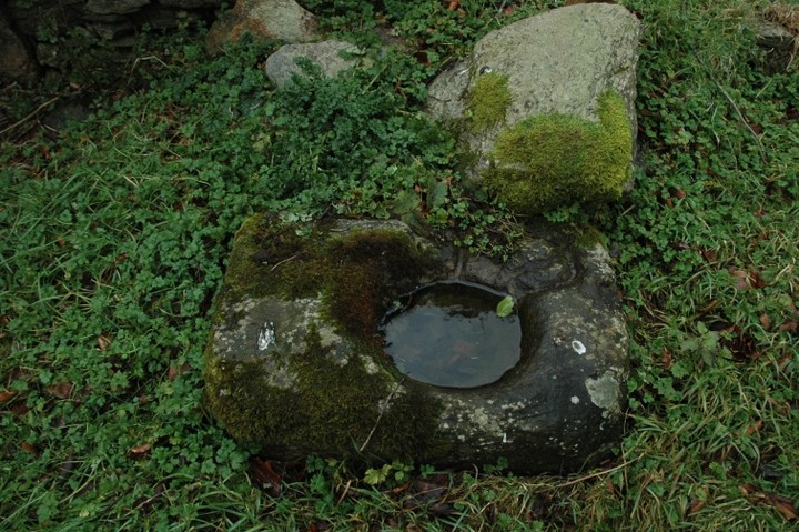
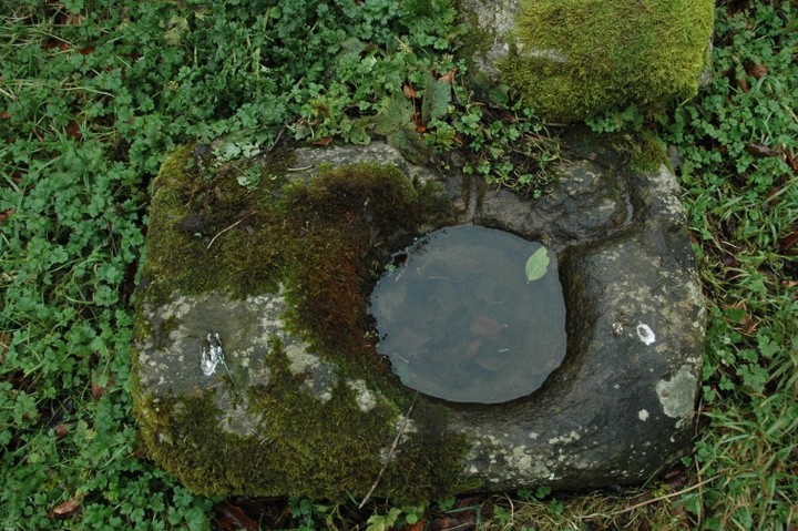
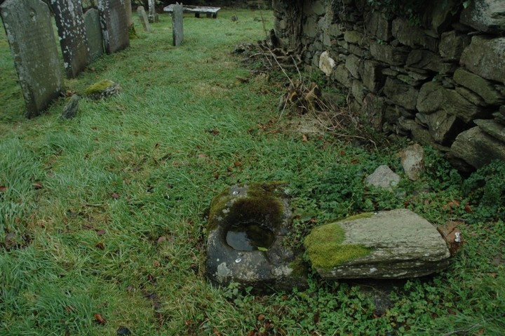
Bullaun Stone
Ballinclare (Bullaun Stone) on The Modern Antiquarian, the UK & Ireland's most popular megalithic community website. 4 images, plus information on many more ancient sites nearby and across the UK & Ireland.
Image © ryaner
Nearest Town:
Ferns (8km SW)
OS Ref (IE):
T087544 /
Sheet: 69
Latitude:
52° 37' 48.09" N
Longitude:
6° 23' 39.86" W
Added by
ryaner
Images (4)
0 discussions
Start a topic
Show |
Hide
Web searches for Ballinclare
Flickr
Google
Google Images
The Megalithic Portal
Bing
Stone Pages
Wikipedia
Show map
(inline Google Map)
- Sites within 20 km -
-
Carrigroe Hill (4.7km SSE) (0 posts)
Monbay Upper (6.36km NW) (0 posts)
Shrule (6.4km NW) (0 posts)
Kilcoilshy (6.55km S) (0 posts)
Clonamore Upper (7.27km NNW) (0 posts)
Bolany (10.54km N) (0 posts)
Buckstown (10.75km NNW) (0 posts)
Carnew (10.77km WNW) (3 posts)
Foxcover (10.77km NNW) (0 posts)
Lackan (10.83km NE) (0 posts)
Coolintaggarthill (11.25km NNE) (0 posts)
Tinnock (12.78km NE) (0 posts)
Ballinacarrig (13.08km ENE) (1 post)
Killabeg Tumulus (13.33km SW) (2 posts)
Killabeg (13.4km SW) (2 posts)
Scarawalsh (13.4km SW) (0 posts)
Kilcavar (13.72km NE) (0 posts)
Tara Hill (14.15km ENE) (4 posts)
Tara Hill Cairn 2 (14.32km ENE) (3 posts)
Croghan Middle (16.8km NNE) (4 posts)
Enniscorthy (17.44km SW) (2 posts)
Clonegall (18.29km W) (0 posts)
Riesk (18.29km SSE) (0 posts)
Slievefoore (19.36km NNE) (10 posts)
Aghowle Upper (19.82km WNW) (5 posts)
- Add -
-
Add news
Add an image
Add fieldnotes
Add folklore
Add miscellaneous
Add a link
-
Add a site
Add a nearby facility
Add an alternative name/spelling
Images
(click to view fullsize)
Add an image
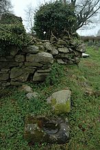 Image © ryaner