The Modern Antiquarian
Log in
|
Register
Home
Latest Posts
Forums
Maps
Help
Browse Sites
News
Blog
Contributors
The Books
Select
-
Belgium
Denmark
Eire
France
Germany
Greece
Italy
The Netherlands
Norway
Portugal
Republic of Malta
Spain
Sweden
Switzerland
United Kingdom
Liguria
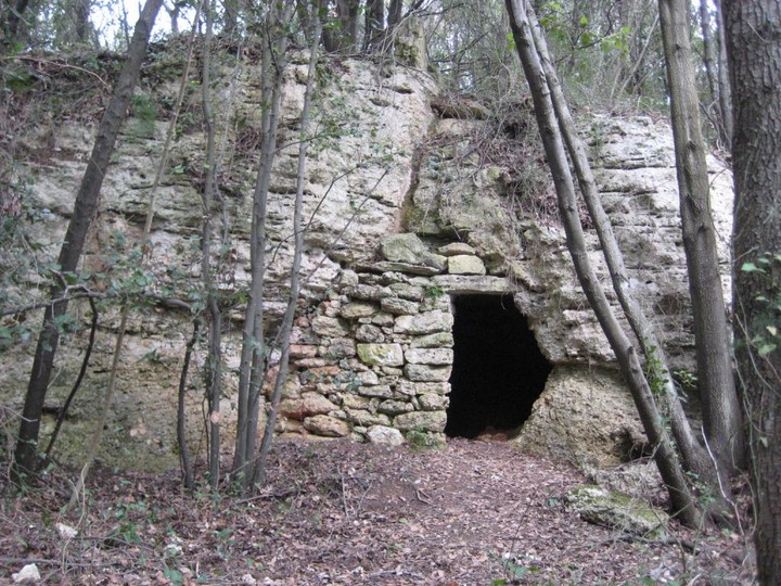
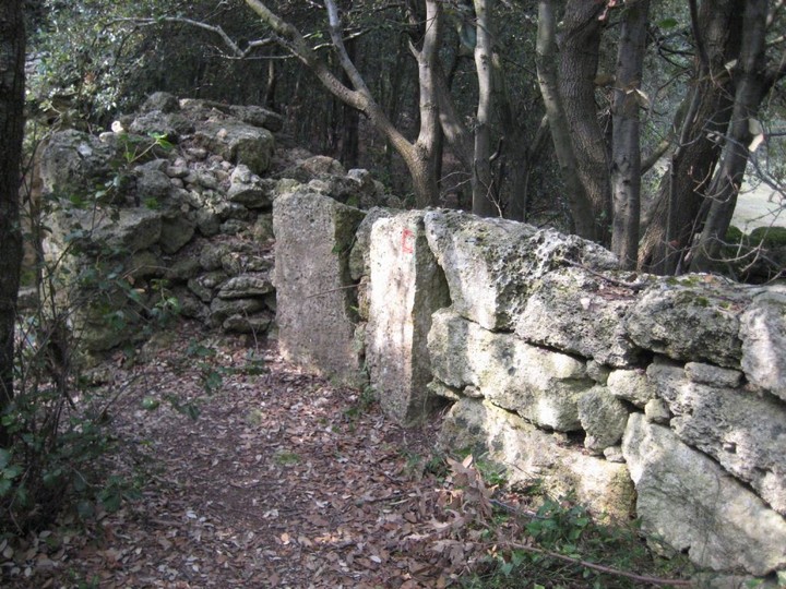
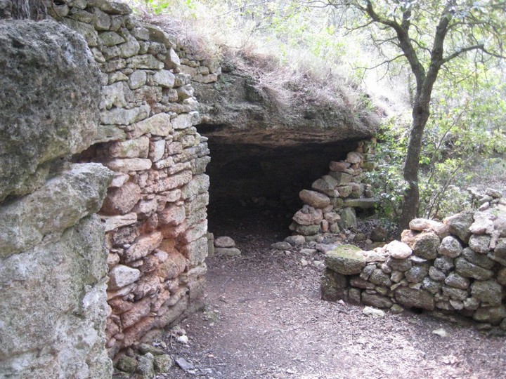
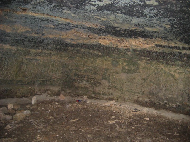
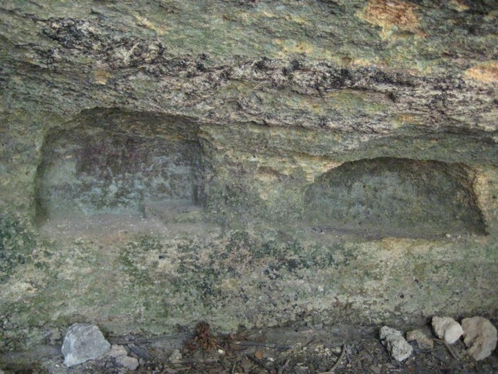
Camporotondo's Rock Shelter
Cave / Rock Shelter
Camporotondo's Rock Shelter (Cave / Rock Shelter) on The Modern Antiquarian, the UK & Ireland's most popular megalithic community website. 7 images, plus information on many more ancient sites nearby and across the UK & Ireland.
Image © Ligurian Tommy Leggy
Latitude:
44° 11' 28.28" N
Longitude:
8° 20' 58.44" E
Added by
Ligurian Tommy Leggy
Images (7)
0 discussions
Start a topic
Show |
Hide
Web searches for Camporotondo's Rock Shelter
Flickr
Google
Google Images
Bing
Stone Pages
Wikipedia
Show map
(inline Google Map)
- Sites within 20 km -
-
Camporotondo's Double Holed Stone (0.06km WNW) (9 posts)
Camporotondo's Engraved Stone (0.08km NW) (4 posts)
Camporotondo (Round Field) (0.31km W) (2 posts)
God Pen, Verzi's Menhir (0.98km ENE) (13 posts)
Nava Valley's Altar Rock (1.54km NNW) (1 post)
Ciappu de Cunche (Vessels Flat) (1.87km NW) (12 posts)
Riparo dei Buoi (Oxen's shelter) (1.92km NW) (11 posts)
Strapatente's cave (2.38km NNW) (4 posts)
Ciappu da Sa (Salt's Flat) (3.16km NNE) (10 posts)
Bastia's Menhir (3.82km WSW) (10 posts)
Rio Cavallera, rocks n° 4, 5, 6, 7. (17.2km NW) (19 posts)
Rio Cavallera, eighth stone (altar stone) (17.61km NW) (8 posts)
Bric Gazzaro (18.05km NW) (5 posts)
Rio Cavallera, third stone (18.07km NW) (15 posts)
Rocca del Castellazzo (altar stone) (18.69km NW) (6 posts)
Ferrania (19.94km NNW) (4 posts)
Colla's Altar Rock (19.97km NW) (19 posts)
- Add -
-
Add news
Add an image
Add fieldnotes
Add folklore
Add miscellaneous
Add a link
-
Add a site
Add an alternative name/spelling
Images
(click to view fullsize)
Add an image