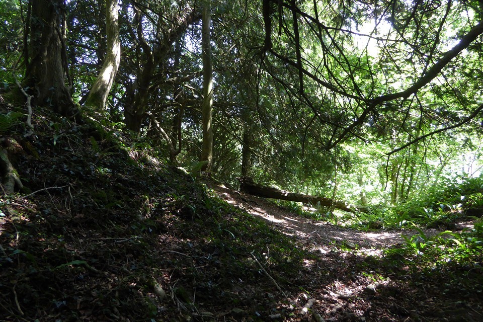
Subsumed within trees at the northern apex of Black Cliff, overlooking the sinuous River Wye (Afon Gwy) to the approx north of Chepstow - not that I could see the river, but there you are - this is a fine example of an inland 'promontory fort', rendered all the more special by being 'hidden in plain sight'... always the most effective camouflage, I find.
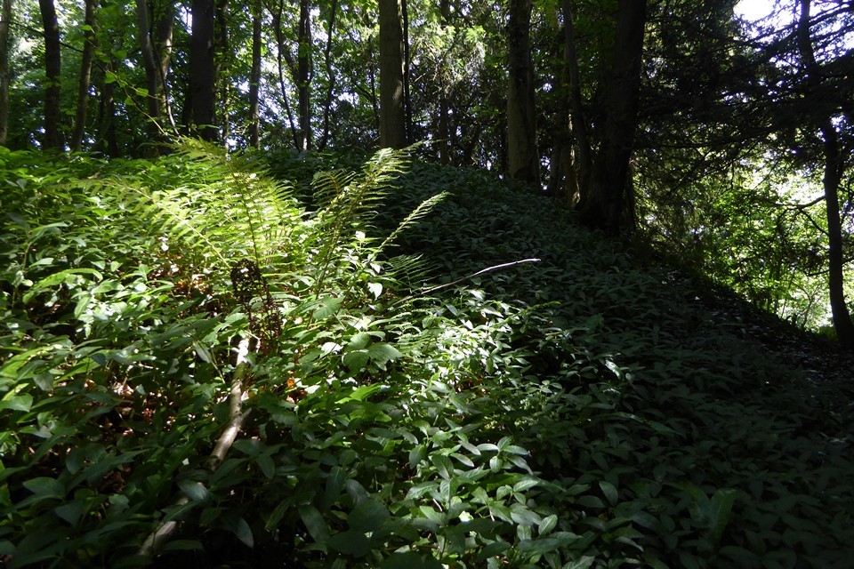
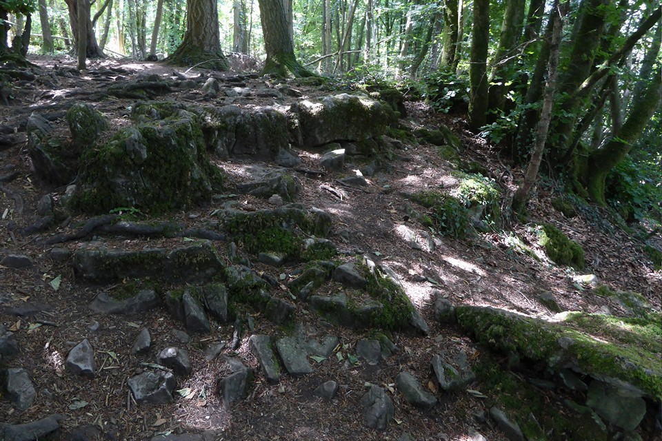
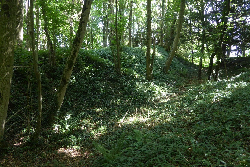
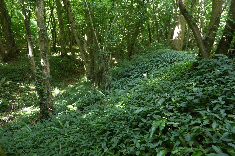
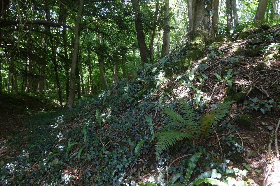
Such is the (sublime) topography here that the original inhabitants were able to concentrate the vast majority of their effort upon erecting a substantial 'cross bank' isolating the neck of the promontory to the southwest. Little more, save (apparently) some scarping of the natural slopes, was required elsewhere to create a first-class fortified enclosure. And to recall those Victorian mugs once tried to con society into believing our ancestors were 'rude savages' dragged kicking and screaming to civilisation by them damn Romans. Yeah, right. Not buying that.
I approached starting from an unclassified public track (those green dots upon the OS 1:25K map) veering off from the Penterry Farm access road, crossing open fields to ascend from the north-east. It was well worth the effort. Yeah, Chepstow may be justly famous for William FitzOsbern's magnificent Norman castle - or the Racecourse, should one happen to be a mug punter with a thing for the gee-gees - but clearly, there is much more of interest for the more discerning Citizens Cairn in the immediate locale... most obviously at Gaer Hill, just a mile to the southwest.
An oval enclosure, c.72m NW-SE by 46m, defined by a bank and ditch across the neck of its promontory to the SW, elsewhere by scarps above steep natural slopes.


 Posted by GLADMAN
 Posted by thesweetcheat