|
|

|
|
Cwm Bach and Whitmore StairsCliff Fort
|
||||||||||||||||||||||||
|
|
|
Images (click to view fullsize) |
|
Photographs: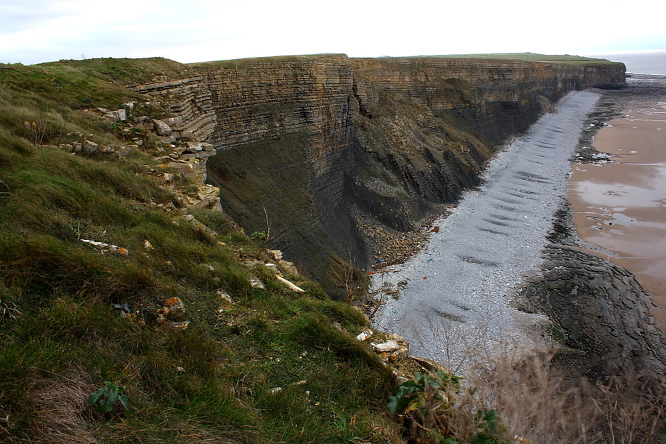
 Artistic / Interpretive:
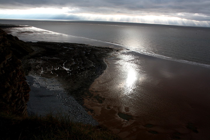
|
Fieldnotes |
|
|
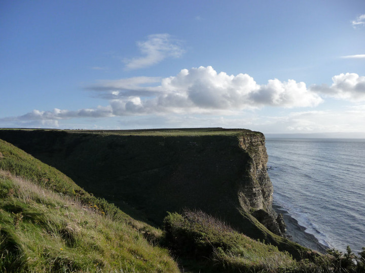
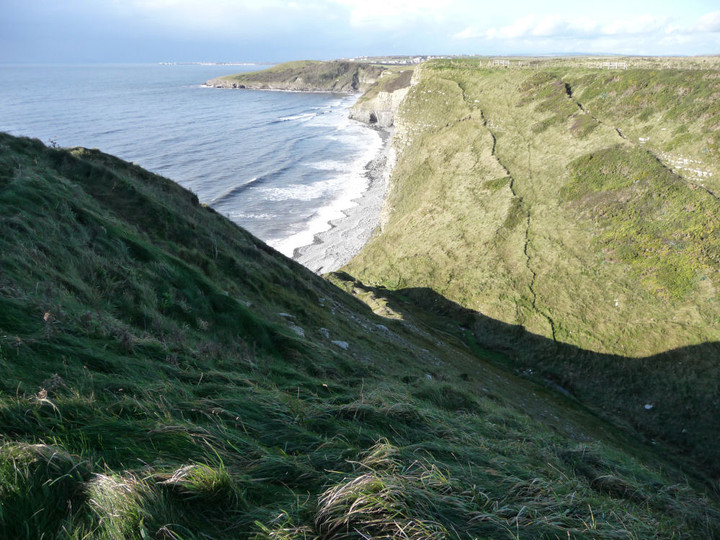
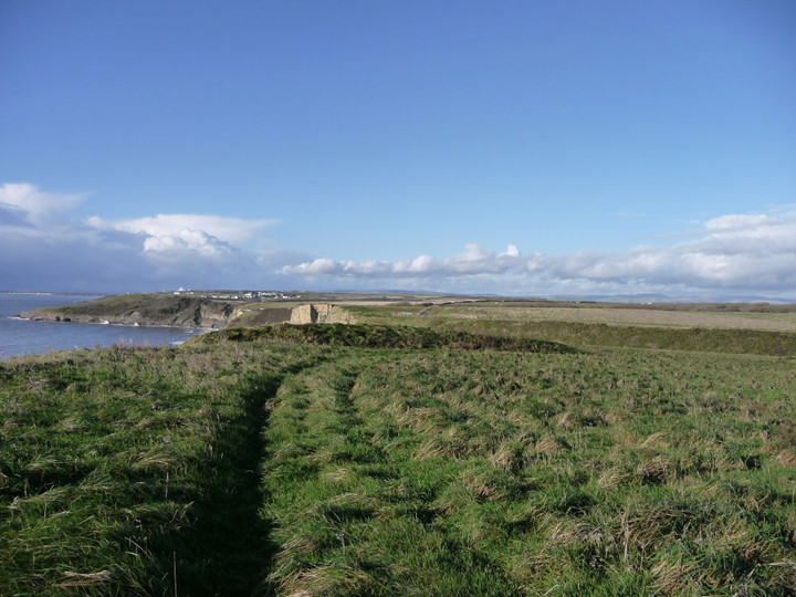
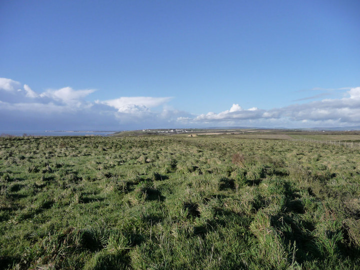
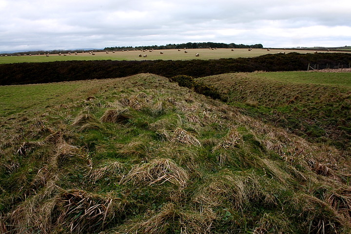
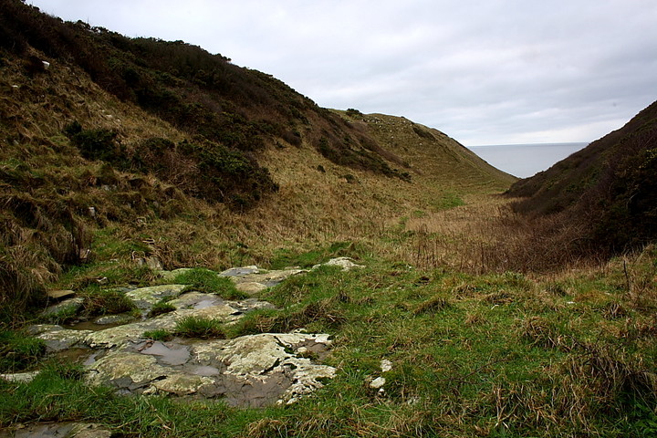
A ‘view from afar’ 4.5.14 Directions: East along the coastal path from Dunraven Hillfort I would say that the creation of the coastal path around Wales is one of the best things the Welsh Government has done. It really is a great place to walk although you do have to take care as the path is often very close to the cliff edge and there is very little in the way of protective fences etc. We passed through two kissing-gates and eventually came to a stone wall, where the path continues down through a gorge and then up to the Cwm Bach site. Dafydd had been moaning most of the way and said he was too tired to walk any further and no doubt he wanted to get onto the beach – which was fair enough. He said that I should go on alone and come back for him. Given that he is only 6 and we were on top of a cliff this was clearly not an option! I would have to admit defeat on this one. However, on the plus side, the single grass covered curving bank of the enclosure could be clearly seen in the distance. It was difficult to determine the height of the bank from this distance but I would guess at about 1 metre. One for another day perhaps? On the way back we walked through the pretty Dunraven walled gardens. Funnily enough as we reached the beach Dafydd’s legs suddenly got better and he was even able to manage a jog – spade in hand of course! |
Posted by CARL 6th May 2014ce |
Miscellaneous |
|
|
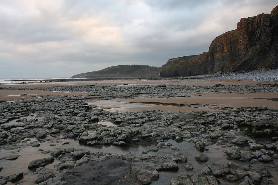
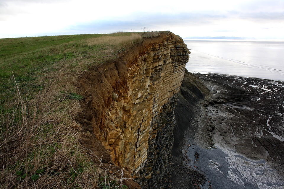
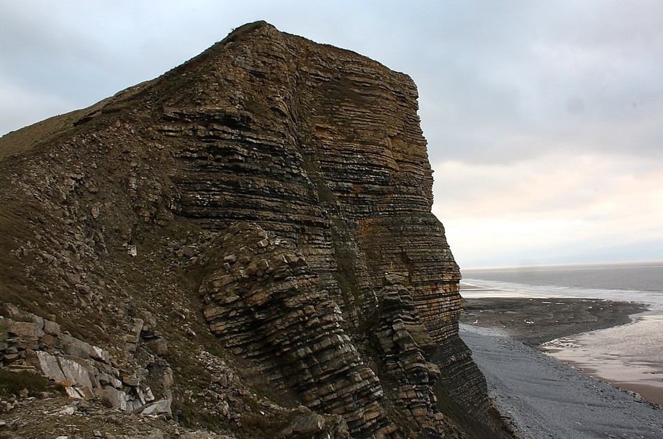
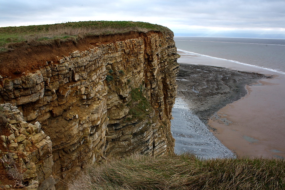
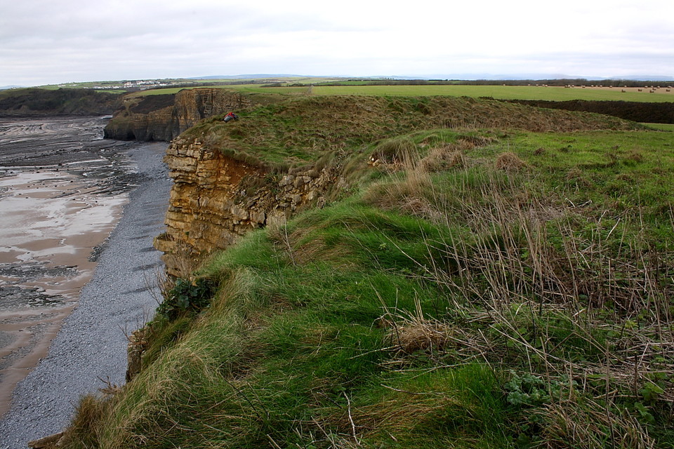
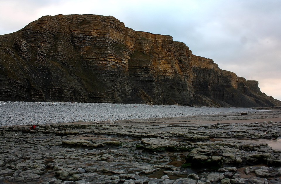
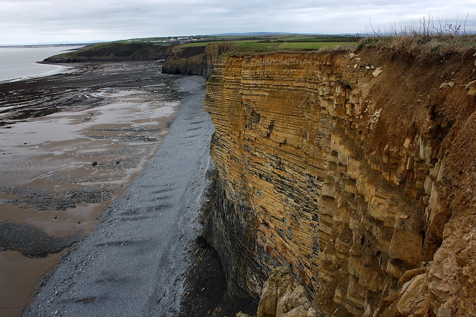
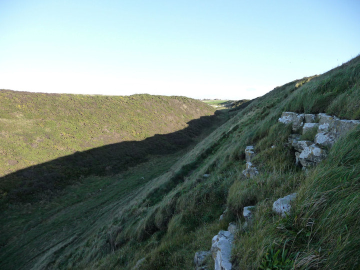
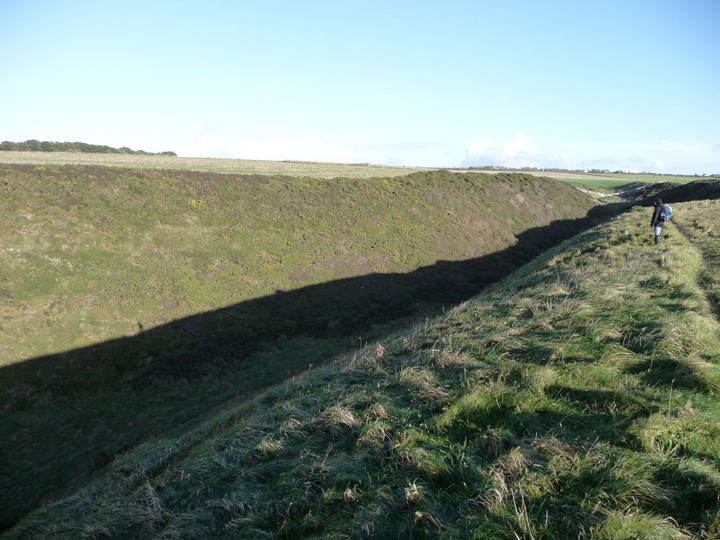
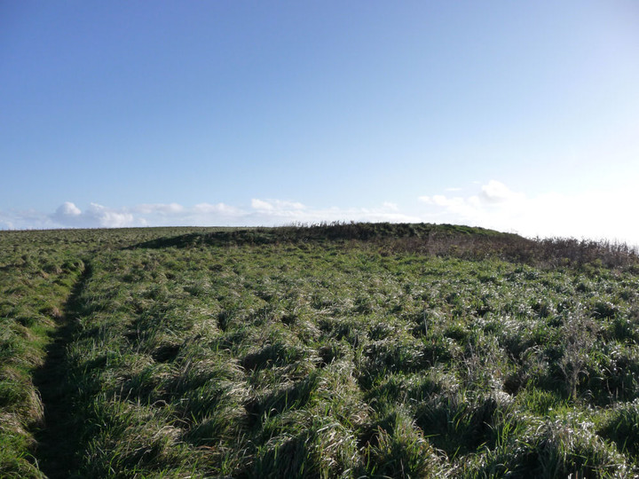
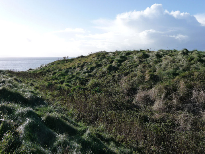
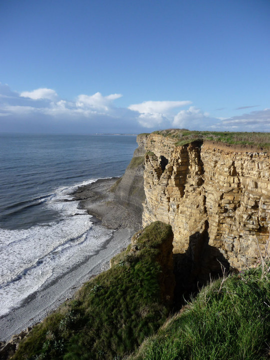
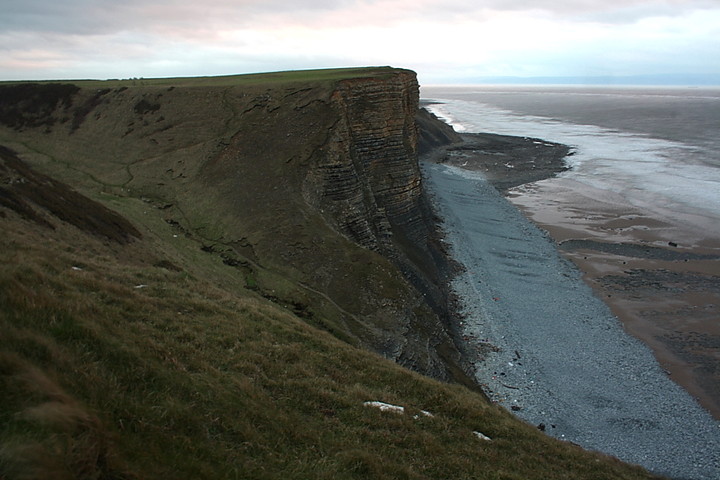
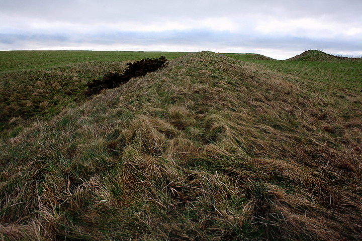
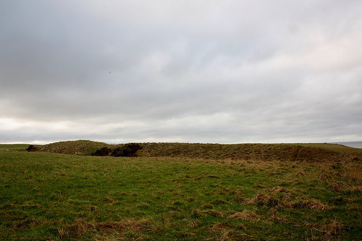
Excellent little cliff fort - one of a linear chain gracing this Glamorgan coastline - overlooking Traeth Bach and most easily reached by a footpath from the minor road to the approx east. Note that it's possible to park a car near the junction with the Tre-pit Road (a little west of Wick). Protected by the steep defile of Cwm Bach to the north and vertiginous cliffs to the west, artificial defences are only really required elsewhere. According to Coflein: "Two discrete lengths of bank, ditched on the SE, the northernmost c.40m NE-SW by 10m and 2.0m high, the other c.33.5m NE-SW by 8.5m and 1.5-2.6m high, truncated on the SW, together appear to define the SE side of a roughly triangular enclosure, resting on an eroding cliff-line on the SW and defined by scarps above the Cwm Bach on the N. Air photos suggest that the southern rampart segment continues N of entrance gap, behind line of the north rampart." J.Wiles 26.01.04 |
 Posted by GLADMAN
17th January 2018ce Edited 17th January 2018ce |