The Modern Antiquarian
Log in
|
Register
Home
Latest Posts
Forums
Maps
Help
Browse Sites
News
Blog
Contributors
The Books
Select
-
Belgium
Denmark
Eire
France
Germany
Greece
Italy
The Netherlands
Norway
Portugal
Republic of Malta
Spain
Sweden
Switzerland
United Kingdom
Wales
South Wales
Swansea & Neath Port Talbot
The Gower Peninsular
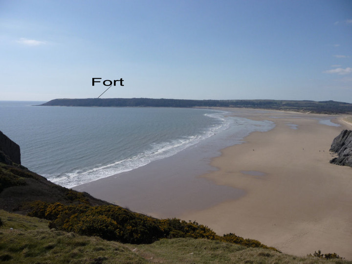
Maiden Castle (Gower)
Promontory Fort
Maiden Castle (Gower) (Main Castle/Oxwich Point) (Promontory Fort) on The Modern Antiquarian, the UK & Ireland's most popular megalithic community website. 7 images, plus information on many more ancient sites nearby and across the UK & Ireland.
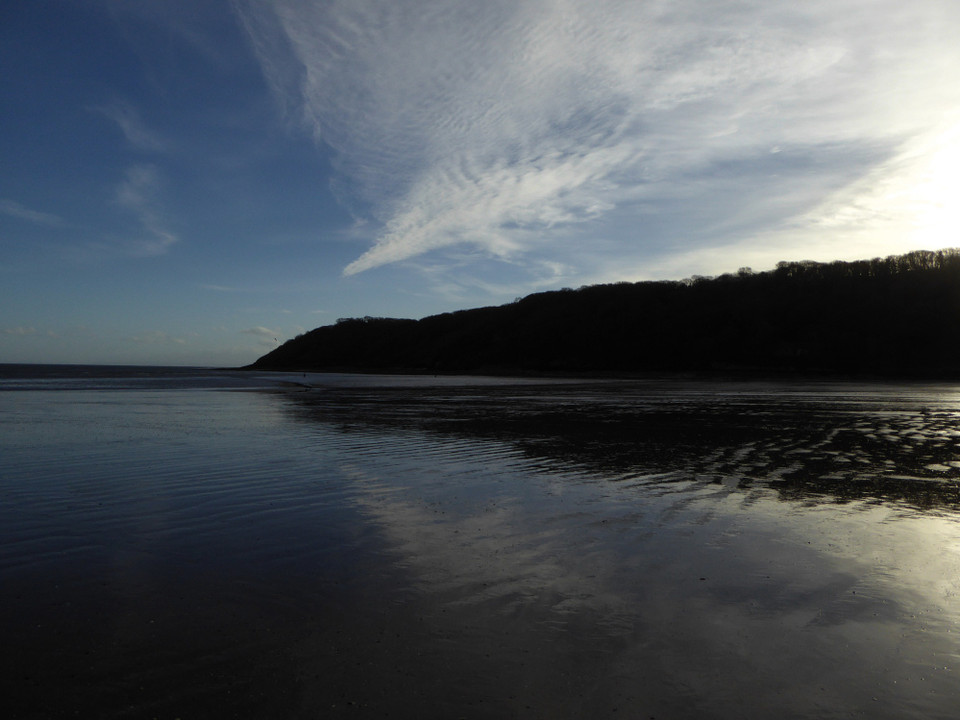
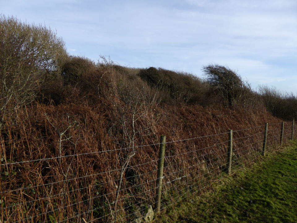
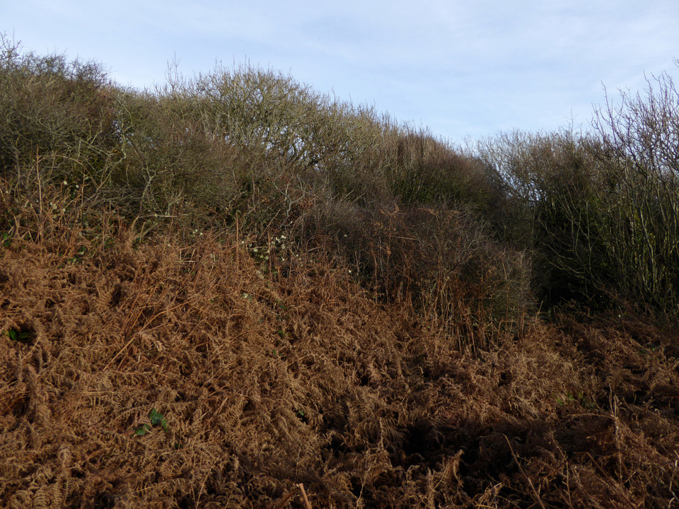
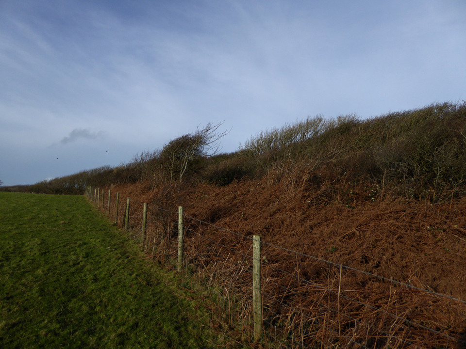
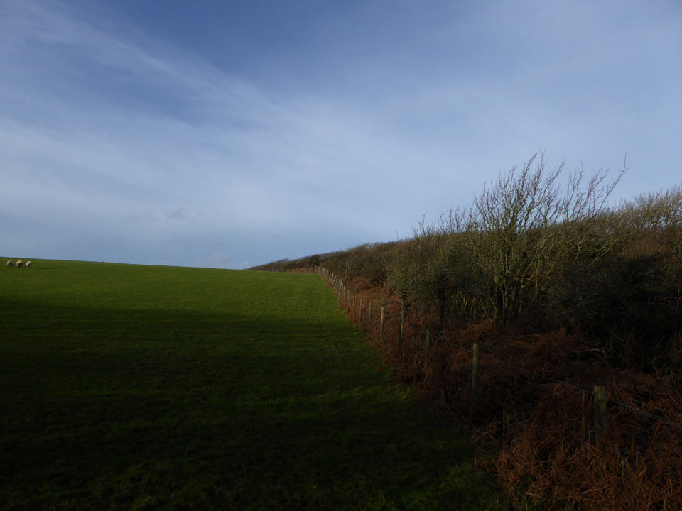
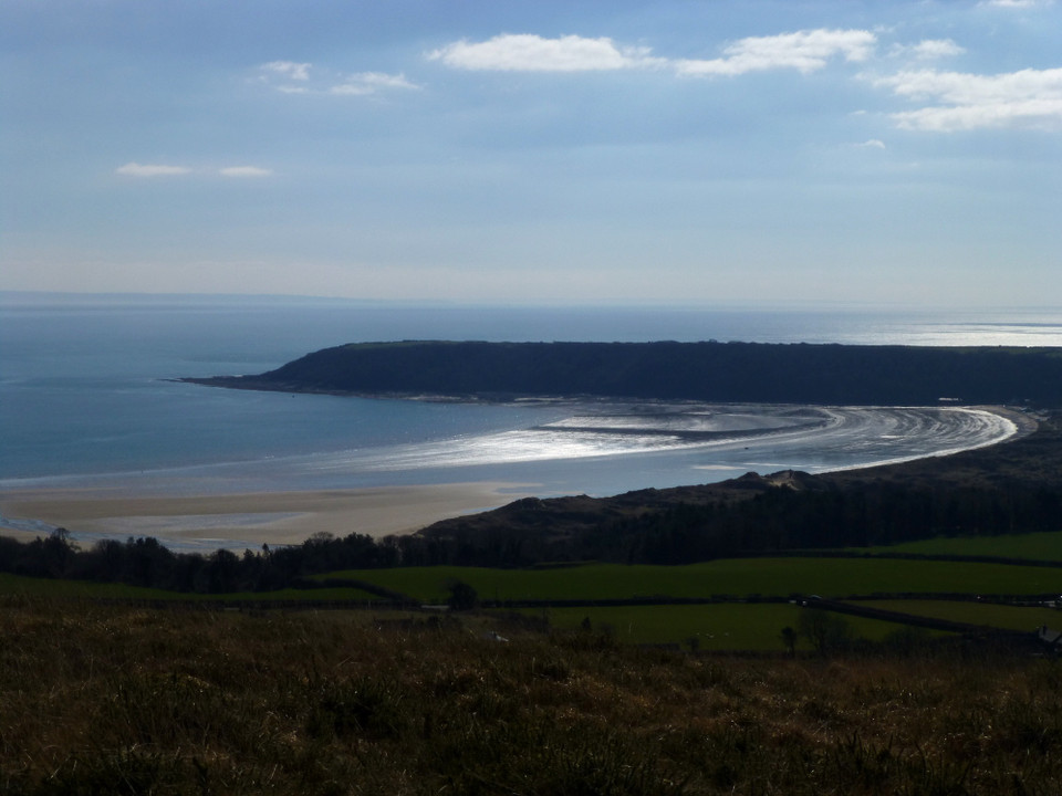
Image © A. Brookes (29.12.2015)
Also known as:
Main Castle
Oxwich Point
Nearest Town:
Llanelli (16km N)
OS Ref (GB):
SS50928548 /
Sheet: 159
Latitude:
51° 32' 52.66" N
Longitude:
4° 9' 1.12" W
Added by
thesweetcheat
Images (7)
0 discussions
Start a topic
Show |
Hide
Web searches for Maiden Castle (Gower)
Flickr
Google
Google Images
The Megalithic Portal
Bing
Stone Pages
Streetmap.co.uk
Wikipedia
Show map
(inline Google Map)
- Sites within 20 km -
-
Crawley Rocks (2.65km NNE) (7 posts)
Nicholaston long cairn (3.32km NNW) (20 posts)
Penmaen (3.47km NE) (24 posts)
Cefn Bryn (East) (3.72km NNW) (22 posts)
Spurge Hole (4.16km ENE) (0 posts)
Minchin Hole (4.8km ENE) (0 posts)
Parc Le Breos (5.13km NNE) (43 posts)
Bacon Hole (5.27km ENE) (10 posts)
Cefn Bryn (West) (5.34km NW) (10 posts)
Maen Ceti (5.39km NW) (60 posts)
Cefn Bryn Great Cairn (5.4km NW) (30 posts)
Cat Hole Cave (5.43km NNE) (17 posts)
Knelston (5.46km WNW) (6 posts)
Longhole Cave (5.79km WSW) (11 posts)
Lethrid Tooth Cave (5.88km NNE) (1 post)
Pen-y-Crug (Llanrhidian) (5.89km NNW) (0 posts)
High Pennard (5.94km ENE) (27 posts)
Rockrose Cave (6.03km WSW) (1 post)
Bishopston Valley (6.42km ENE) (12 posts)
Burry Standing Stones (6.45km WNW) (14 posts)
Llanrhidian (6.84km NNW) (13 posts)
Cil Ifor Top (6.86km NNW) (16 posts)
Oldwalls (6.94km NW) (0 posts)
Foxhole Slade (7.07km W) (8 posts)
Ty'r-coed (7.09km NW) (7 posts)
Stembridge Camp (7.15km WNW) (0 posts)
Paviland Cave (7.21km W) (67 posts)
Paviland (7.21km W) (34 posts)
Samson's Jack (7.39km NW) (13 posts)
Horse Cliff Fort (7.51km W) (24 posts)
The Knave (7.75km W) (18 posts)
Caswell Cliff (8.12km ENE) (7 posts)
Red Chamber East (8.29km W) (7 posts)
Red Fescue Hole (8.33km W) (2 posts)
Hardings Down cairn (8.69km W) (3 posts)
Hardings Down East Fort (8.85km WNW) (8 posts)
Mewslade Cave (8.87km W) (7 posts)
Thurba Camp (8.89km W) (34 posts)
Mew Slade fort (8.98km W) (1 post)
Hardings Down North Enclosure (8.99km WNW) (5 posts)
Hardings Down West Fort (9.15km W) (13 posts)
Rhossili Down (9.49km W) (36 posts)
Rhossili Down settlement (9.59km W) (6 posts)
Lewes Castle (9.66km W) (20 posts)
Sweyne Howes (north) (9.83km W) (28 posts)
The Bulwark (9.85km WNW) (28 posts)
Sweyne Howes (south) (9.88km W) (13 posts)
Llanmadoc Hill (9.98km WNW) (30 posts)
North Hill Tor (10.03km WNW) (3 posts)
Old Castle (Rhossili) (10.27km W) (18 posts)
Pen-y-Gaer (Llanrhidian) (10.39km N) (3 posts)
Worm's Head (11.75km W) (21 posts)
Burry Holms (13.09km W) (12 posts)
Stradey Wood (16.14km NNW) (2 posts)
Y Gaer (Burry Port) (16.89km NW) (2 posts)
Cencoed (17.72km NNW) (0 posts)
Craig Llwyd and Court Wood (18.76km NW) (2 posts)
Bon-y-Maen (19.49km ENE) (0 posts)
- Facilities within 20 km -
-
Swansea Tourist Inform... (Tourist Information: 16.1 km NE)
- Add -
-
Add news
Add an image
Add fieldnotes
Add folklore
Add miscellaneous
Add a link
-
Add a site
Add a nearby facility
Add an alternative name/spelling
Images
(click to view fullsize)
Add an image
 Image © A. Brookes (29.12.2015)