For parking, see Fieldnotes for Southly Bridge Barrows
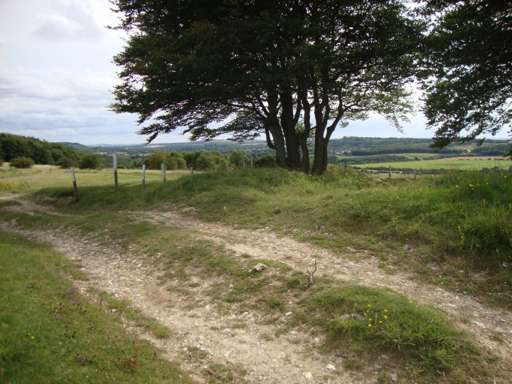
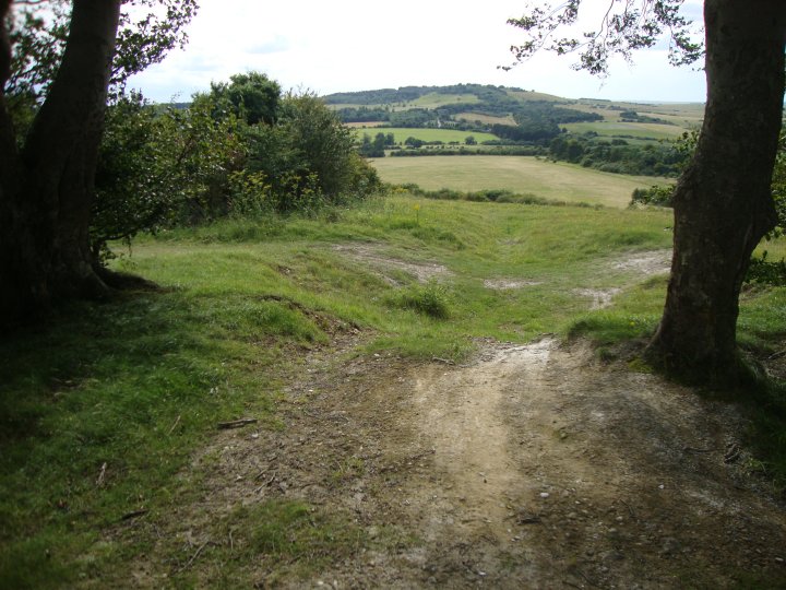
I walked up the bridleway with my bike after visiting the Southly Bridge Barrows. I got the area where the earthworks have been cut in two and left the bike in a wooded area at the bottom of the hill. Although a footpath runs along the base of the hill, I climbed up the rutted track made by the MOD along the spine of the hill. This track has really damaged the barrows and looks like it was made by tanks or heavy duty trucks.
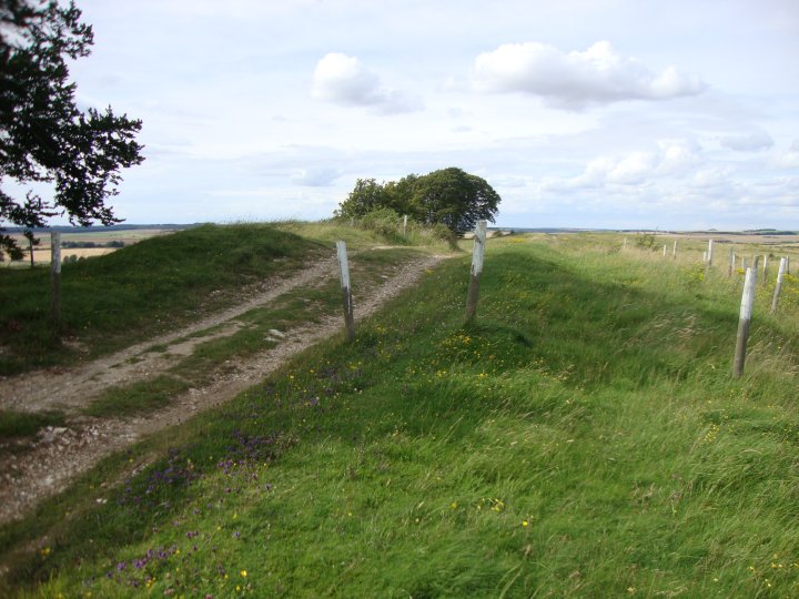
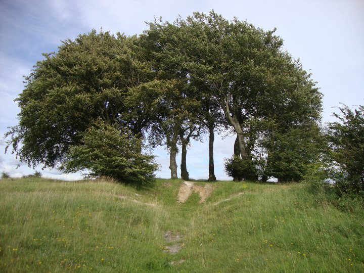
In the Bronze-Age mindset, the hill would had made a natural sacred place when viewed from Sodbury Hill. Two natural hillocks, one at either end of the level hilltop, have both been crafted into burial mounds for the elite. One for a king and the other for a queen maybe? or perhaps a father and son. The Barrow built upon Pickpit Hill would have made up the sacred three hills found throughout the ancient landscape.
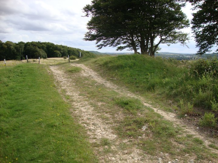
The Iron-Age Earthwork raises some questions with relation to these barrows. The Earthwork does not encompass the barrows, but is built right up to them. If the earthwork was defensive and formed a palisade of stakes, they did not claim the ancestors. Were the builders of the defensives taking over from the original Bronze-Age descendants?
The area may had become part of the Royal park at Ludgershall in the reign of Henry III. Leland records that it surrounded Ludgershall Castle (SU 25 SE 3); in 1583 it was two miles in circuit.
I found this barrow powerful. Although it has been very badly damaged by the MOD track which cuts across it, the site had a welcoming feeling, female and homely. I got a feeling of a community gathering, meeting up here for ritual celebration. Maybe the celebration or ritual occurred in the middle of the hill, between the two barrows.
As in the other barrow, the Iron-Age Earthwork cuts into the barrow with no reverence to the ancestral territory claimed by the barrows position.
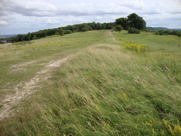
This barrow, although the larger of the two barrows, didn't seem to have the energy of the smaller one. The rutted track made by the MOD traffic runs between the barrow and the Iron-Age Earthwork. This track has cut into the edge of the barrow but apart from this, the barrow is well defined. Records indicate that "a recent hollow in the centre of the mound" is noted in 1926, although no record exists of the contents. The "army triangulation point, concreted into the top" noted in 1972 has also been removed.

 Posted by Chance