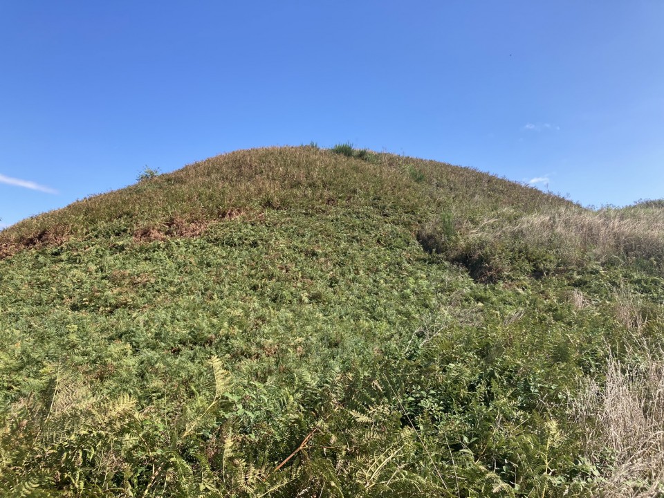
I stumbled across Tumulus de Tumiac while waiting for the Petit Mont Cairn to open; Mad dogs and Scotsmen go out in the midday sun. I saw the mound on the horizon and experienced the usual gravitational attraction. A path to Tumulus de Tumiac is conveniently located in a lay-by on the E edge of Arzon in a long straight on the D780. The site is closed to the public, a relatively common state of affairs in my experience, so I contented myself with a distant view. The grassy mound measures 86m in diameter and 20m high according to the information board. A central tomb, measuring 4.4m x 2.4m x 1.75m, is covered by successive layers of clay. The mound has been dated to 4790 BC.
The mound is known locally as Butte de Cesar (Caesar's Mound). He is reputed to have witnessed a naval battle from the summit of Tumulus de Tumiac in 56 BC.