The Modern Antiquarian. Stone Circles, Ancient Sites, Neolithic Monuments, Ancient Monuments, Prehistoric Sites, Megalithic MysteriesThe Modern Antiquarian


Dolmen de Kergazec

Dolmen / Quoit / Cromlech

<b>Dolmen de Kergazec</b>Posted by markj99Image © Mark Johnstone
Also known as:
  • Dolmen de Tennad-er-Menguen
  • Dolmen de Chapelle Saint-Antoine

Latitude:47° 37' 1.6" N
Longitude:   3° 7' 42.74" W

Added by markj99


Discussion Topics0 discussions
Start a topic


Show  |  Hide
Web searches for Dolmen de Kergazec
Show map   (inline Google Map)

Images (click to view fullsize)

Add an image Add an image
<b>Dolmen de Kergazec</b>Posted by markj99 <b>Dolmen de Kergazec</b>Posted by markj99 <b>Dolmen de Kergazec</b>Posted by markj99 <b>Dolmen de Kergazec</b>Posted by markj99 <b>Dolmen de Kergazec</b>Posted by markj99 <b>Dolmen de Kergazec</b>Posted by markj99

Fieldnotes

Add fieldnotes Add fieldnotes
Visited 19.09.23

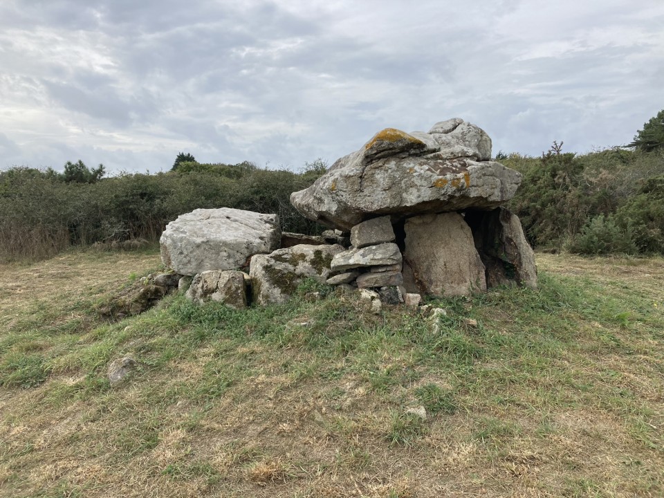
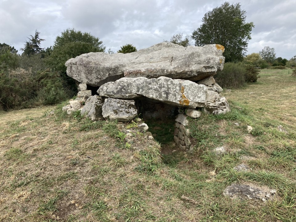
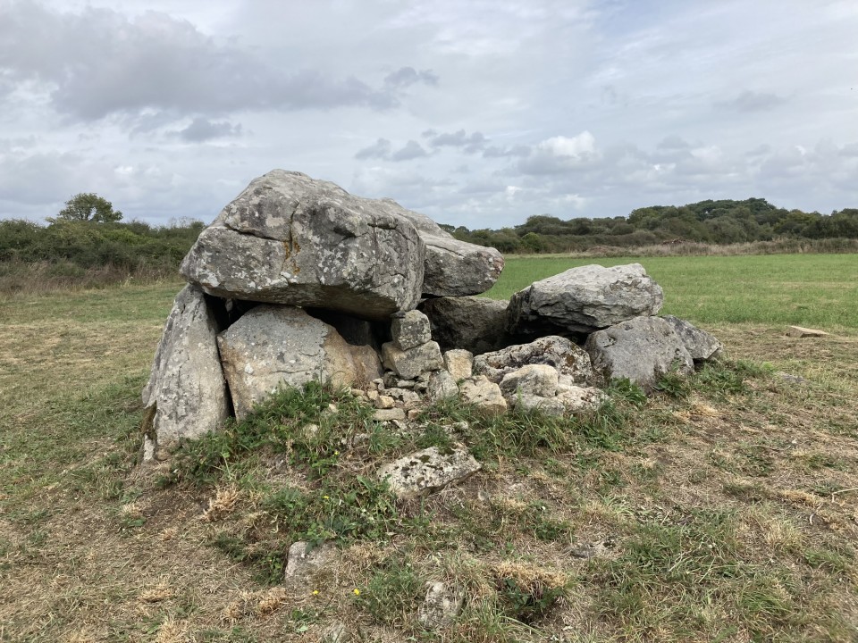
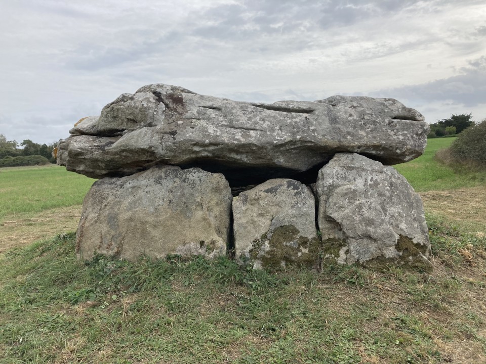
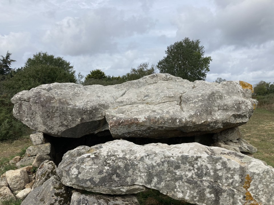
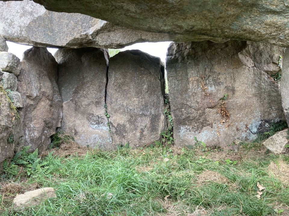
Dolmen de Kergazec is located c. 100m SE of Kergazec, a small village in Morbihan. The exposed dolmen is in reasonable condition, consisting of a large capstone on four supporting orthostats and dry walling. It retains a passage measuring c. 2m long. There is a small capstone on the SE end of the passage.

The best way to find Dolmen de Kergazec is to visit Dolmen de Kernevé then walk c. 140m SW along the C106 to the edge of an open field. Follow a dirt track heading NE for c. 300m to reach Dolmen de Kergazec.
Posted by markj99
12th October 2023ce
Edited 12th October 2023ce

Links

Add a link Add a link

Dolmen de Kergazec Street View on Google Maps


Dolmen de Kergazec Street View on Google Maps.
Posted by markj99
12th October 2023ce