The Modern Antiquarian
Log in
|
Register
Home
Latest Posts
Forums
Maps
Help
Browse Sites
News
Blog
Contributors
The Books
Select
-
Belgium
Denmark
Eire
France
Germany
Greece
Italy
The Netherlands
Norway
Portugal
Republic of Malta
Spain
Sweden
Switzerland
United Kingdom
County Wicklow
Spinans Hill
Barrow / Cairn Cemetery
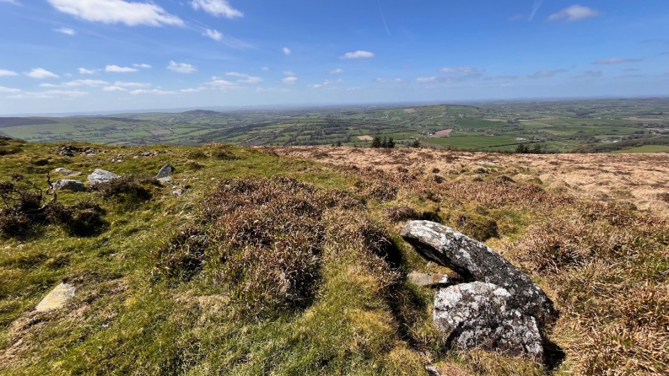
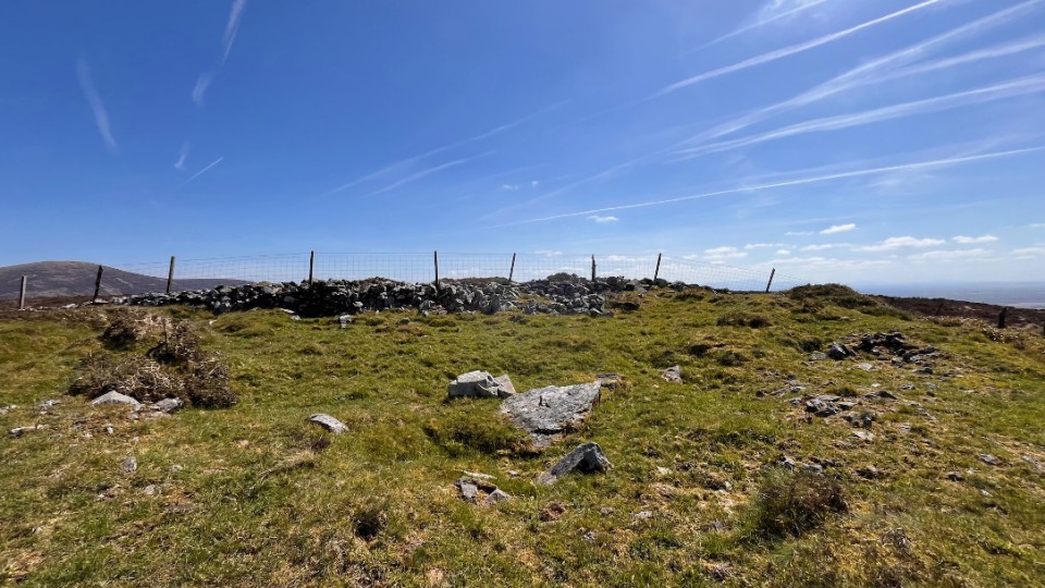
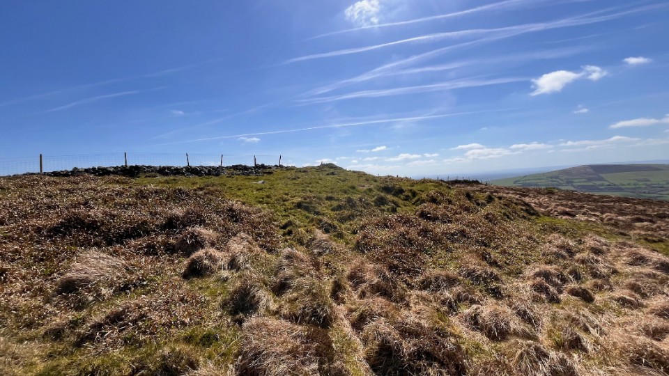
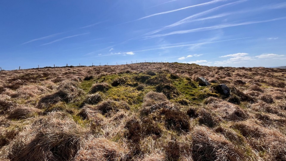
Spinans Hill (Ballyhubbock Upper) (Barrow / Cairn Cemetery) on The Modern Antiquarian, the UK & Ireland's most popular megalithic community website. 14 images, plus information on many more ancient sites nearby and across the UK & Ireland.
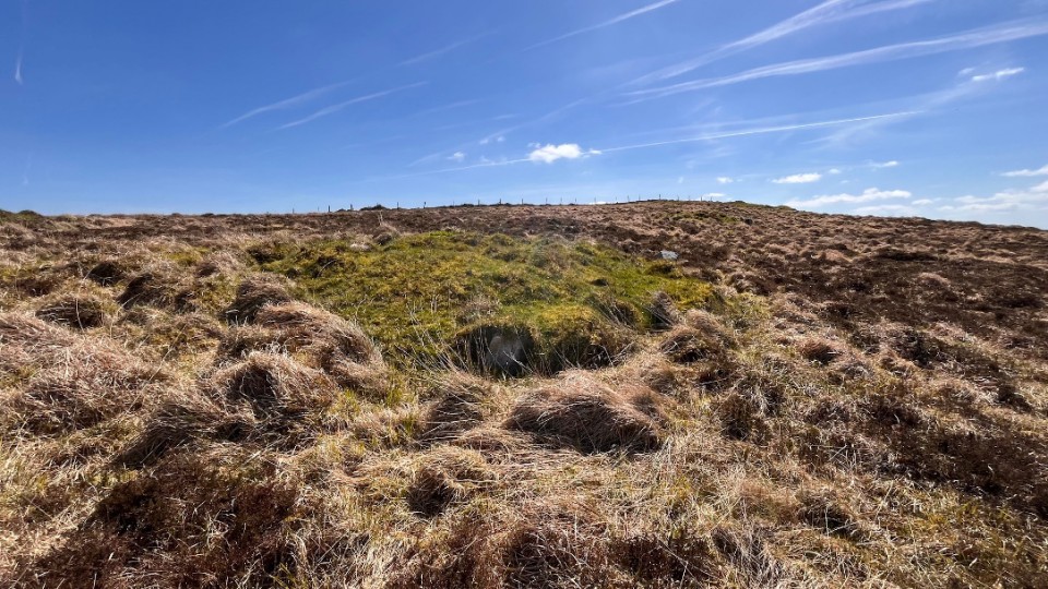
Image © ryaner
Also known as:
Ballyhubbock Upper
OS Ref (IE):
Latitude:
52° 58' 4.16" N
Longitude:
6° 37' 56.47" W
Added by
ryaner
Images (14)
0 discussions
Start a topic
Show |
Hide
Web searches for Spinans Hill
Flickr
Google
Google Images
Bing
Stone Pages
Wikipedia
Show map
(inline Google Map)
- Sites within 20 km -
-
Spinans Hill (0.42km ESE) (0 posts)
Brusselstown Ring (1.29km E) (22 posts)
Eadestown North (1.37km WNW) (0 posts)
Kilranelagh (2.45km S) (0 posts)
The Ballintruer Long Stone (2.52km WNW) (0 posts)
Ballintruer More (2.52km WNW) (6 posts)
Castleruddery (2.66km NNW) (48 posts)
Colvinstown Upper III (2.77km SSE) (2 posts)
Colvinstown Upper (2.8km SSE) (4 posts)
Castleruddery Lower (2.82km NNW) (4 posts)
Boleycarrigeen (2.85km ESE) (57 posts)
Colvinstown Upper II (2.92km SSE) (2 posts)
Colvinstown (3km SE) (3 posts)
Kilranelagh Graveyard (3.16km SW) (6 posts)
Keadeen (3.18km ESE) (3 posts)
Keadeen (3.24km ESE) (0 posts)
Keadeen (3.32km ESE) (3 posts)
Kelshamore (3.63km NE) (5 posts)
Keadeen Mountain (3.83km E) (4 posts)
Keadeen Cursus (3.88km E) (5 posts)
Baltinglass Hill (4.1km WSW) (2 posts)
Tuckmill Hill (4.15km WSW) (3 posts)
Baltinglass Hill - Tombs (4.16km SW) (19 posts)
Baltinglass Hill Cairn - Standing Stone (4.16km SW) (2 posts)
Baltinglass Hill - Cairn (4.16km SW) (2 posts)
Baltinglass Hill - Standing Stone (4.16km SW) (1 post)
Rathcoran Hillfort (4.16km SW) (3 posts)
Baltinglass Hill 'Basin' Stone (4.18km WSW) (3 posts)
Keadeen standing stone 2 (4.38km ESE) (2 posts)
Muckduff Upper (4.56km ESE) (5 posts)
Muckduff Upper 2/Carrig Mountain (5.01km ESE) (4 posts)
Carrig Mountain (5.07km ESE) (0 posts)
Donard (6.16km N) (6 posts)
Humewood Castle (6.25km SE) (4 posts)
Coan (6.31km ENE) (0 posts)
Brittas III (6.61km ENE) (4 posts)
Brittas V (6.61km ENE) (3 posts)
Brittas (6.61km ENE) (7 posts)
Brittas IV (6.61km ENE) (7 posts)
Brittas II (6.61km ENE) (2 posts)
Tinoran Hill (6.65km WSW) (0 posts)
Broomfields (6.82km NNW) (12 posts)
Leitrim (6.88km ENE) (7 posts)
Knickeen (7.17km ENE) (9 posts)
Kilbaylet Lower (7.32km N) (5 posts)
Kilbaylet Lower (7.41km N) (5 posts)
Blackmoor (7.63km N) (6 posts)
Kilcoagh East (7.74km NNE) (3 posts)
Kilcoagh East/Levern (7.86km NE) (1 post)
Hughstown (8.22km WSW) (4 posts)
Kilbaylet Upper (9.25km N) (4 posts)
Tornant Upper (9.32km NW) (8 posts)
Tornant Lower (9.76km NW) (2 posts)
Plezica (9.78km NNW) (9 posts)
Lybagh (9.8km E) (0 posts)
Patrickswell (9.96km SSW) (0 posts)
Church Mountain (10km NNE) (4 posts)
Tombeagh (10.36km SSE) (2 posts)
Killeen Cormac (10.84km WNW) (4 posts)
Athgreany standing stone (11.13km N) (5 posts)
Athgreany Rath (11.13km N) (5 posts)
Toor (11.21km NNE) (5 posts)
Lugglass Upper II (11.32km NNE) (5 posts)
Toor (11.4km NNE) (3 posts)
The Piper's Stones (11.4km NNE) (4 posts)
Toor (11.61km NNE) (0 posts)
Crehelp (11.63km N) (6 posts)
Crehelp (11.63km N) (1 post)
Lugglass Upper I (11.65km NNE) (2 posts)
Athgreany (11.69km N) (49 posts)
Williamstown (11.85km S) (7 posts)
Kinsellastown (12.13km NNW) (3 posts)
Kinsellastown II (12.23km NNW) (2 posts)
The Dailteen Stone (12.27km NNE) (3 posts)
Slievecorragh (12.76km NNE) (6 posts)
Kingsland (12.84km WNW) (5 posts)
Scalp Rath (12.86km N) (2 posts)
Scalp (12.87km N) (6 posts)
Brewell's Hill (12.88km WNW) (13 posts)
Brewell's Hill (12.94km WNW) (1 post)
Brewell's Hill (12.94km WNW) (3 posts)
St. Kevin's Bed (Hollywood) (13.69km N) (4 posts)
Crehelp II (13.83km N) (4 posts)
Haroldstown (13.85km S) (38 posts)
Bolton Hill (13.96km WSW) (7 posts)
Broughills Hill (14.05km NNE) (11 posts)
Rathmore (14.23km SSW) (0 posts)
Kiernans Hill (14.46km NNE) (4 posts)
Johnstown (14.58km NNE) (2 posts)
Togher (14.66km NE) (0 posts)
Johnstown Hut Site 1 (14.8km NNE) (2 posts)
Mullamast Long Stone (14.95km W) (5 posts)
Kilgowen (15.05km WNW) (12 posts)
Tobinstown (15.1km S) (0 posts)
Kilmagarvoge (15.13km SSW) (1 post)
Mullamast Barrows (15.19km W) (2 posts)
Whiteleas (15.25km N) (11 posts)
Knockballystine (15.31km S) (0 posts)
Mullamast Rath (15.32km W) (6 posts)
Ballybought (15.73km NNW) (5 posts)
Broadleas (15.86km N) (34 posts)
Blakestown Upper (15.96km NNE) (3 posts)
Lugnagroagh (16.08km NNE) (3 posts)
Clonmore (16.14km SE) (3 posts)
Ballybought (16.15km NNW) (3 posts)
Straboe (16.33km SW) (0 posts)
Carrigacurra (16.48km NNE) (6 posts)
Longstone (16.83km N) (0 posts)
Ballinagee (17.22km NE) (1 post)
Bishopsland (17.68km N) (3 posts)
Old Kilcullen (17.69km NW) (1 post)
Ballymore Eustace West (17.83km N) (5 posts)
Dun Ailinne (18.21km WNW) (5 posts)
Ballyknockan (18.41km NNE) (4 posts)
Rath East (18.48km S) (0 posts)
Rath Gael (18.5km S) (17 posts)
Fananierin (18.64km E) (5 posts)
St. Kevin's Bed (Glendalough) (19.05km ENE) (1 post)
Seskin (19.12km SSE) (0 posts)
Stone I (19.43km ENE) (1 post)
Killabeg Stone (19.77km SSE) (0 posts)
- Add -
-
Add news
Add an image
Add fieldnotes
Add folklore
Add miscellaneous
Add a link
-
Add a site
Add a nearby facility
Add an alternative name/spelling
Images
(click to view fullsize)
Add an image
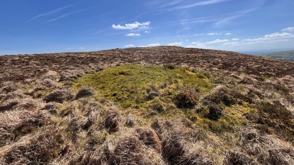
 Image © ryaner