The Modern Antiquarian
Log in
|
Register
Home
Latest Posts
Forums
Maps
Help
Browse Sites
News
Blog
Contributors
The Books
Select
-
Belgium
Denmark
Eire
France
Germany
Greece
Italy
The Netherlands
Norway
Portugal
Republic of Malta
Spain
Sweden
Switzerland
United Kingdom
The Isle of Man
Burroo Ned
Cliff Fort
Burroo Ned (Cliff Fort) on The Modern Antiquarian, the UK & Ireland's most popular megalithic community website. 11 images, plus information on many more ancient sites nearby and across the UK & Ireland.
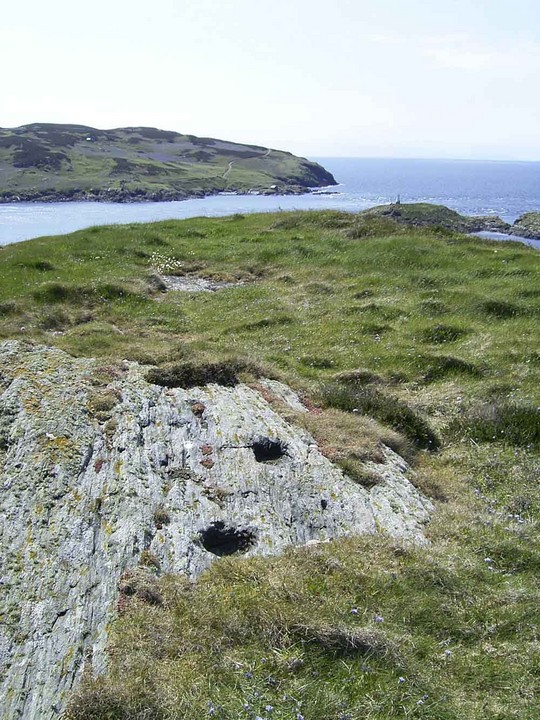
Image © A. Brookes (23.8.2019)
Nearest Town:
Castletown (9km ENE)
OS Ref (GB):
SC176665 /
Sheet: 95
Latitude:
54° 3' 42.56" N
Longitude:
4° 47' 14.54" W
Added by
Rivington Pike
Images (11)
Miscellaneous (1)
0 discussions
Start a topic
Show |
Hide
Web searches for Burroo Ned
Flickr
Google
Google Images
The Megalithic Portal
Bing
Stone Pages
Streetmap.co.uk
Wikipedia
Show map
(inline Google Map)
- Sites within 20 km -
-
The Parade (0.32km W) (5 posts)
Cronk Karran (1.6km E) (26 posts)
The Mull Circle (1.76km NE) (38 posts)
Towlfoggy (3.13km ENE) (1 post)
Giant's Quoiting Stone (3.8km ENE) (10 posts)
Bradda Mooar (3.96km NNE) (6 posts)
Cronk Howe Mooar (4.31km NE) (5 posts)
Bradda Hill (4.98km NNE) (6 posts)
Balladoole Cist (7.16km ENE) (4 posts)
Balladoole (7.18km ENE) (5 posts)
Ballacagen (8.48km ENE) (1 post)
Cronk ny Arrey Laa (9.48km NNE) (4 posts)
Cronkshannaugh (10.73km NE) (0 posts)
Dalby Mountain Burial Mounds (11.79km NNE) (4 posts)
Cass ny Hawin (12.43km ENE) (1 post)
South Barrule (12.44km NE) (4 posts)
Arragon Moar Circle (13.33km ENE) (22 posts)
Arragon Mooar Burial Cairn (13.39km ENE) (13 posts)
Cronk ny Merriu (14.58km ENE) (6 posts)
Ballakelly (15.42km ENE) (21 posts)
The Braaid (17.89km NE) (14 posts)
St Patrick's Chair (17.93km NE) (5 posts)
Ballaharra Stones (18.35km NE) (14 posts)
Tynwald Hill (18.38km NE) (14 posts)
Giant's Grave (St John's) (18.38km NE) (6 posts)
Peel Hill (18.44km NNE) (2 posts)
St Patrick's Isle (19.11km NNE) (6 posts)
The Kew (19.5km NNE) (8 posts)
- Add -
-
Add news
Add an image
Add fieldnotes
Add folklore
Add miscellaneous
Add a link
-
Add a site
Add a nearby facility
Add an alternative name/spelling
Images
(click to view fullsize)
Add an image
Miscellaneous
Add miscellaneous
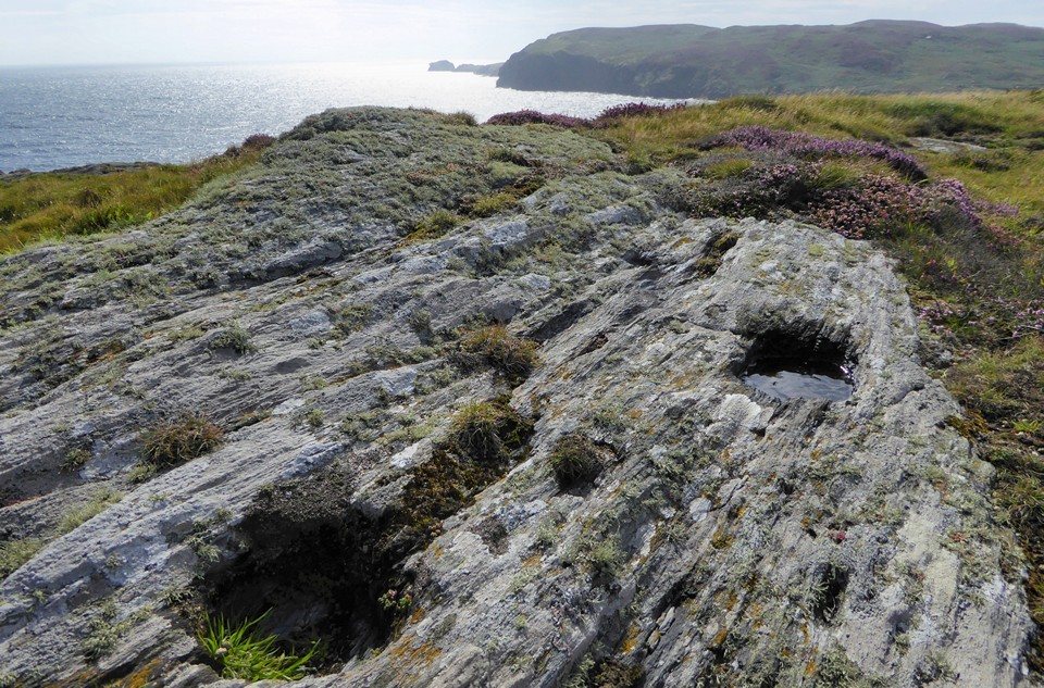
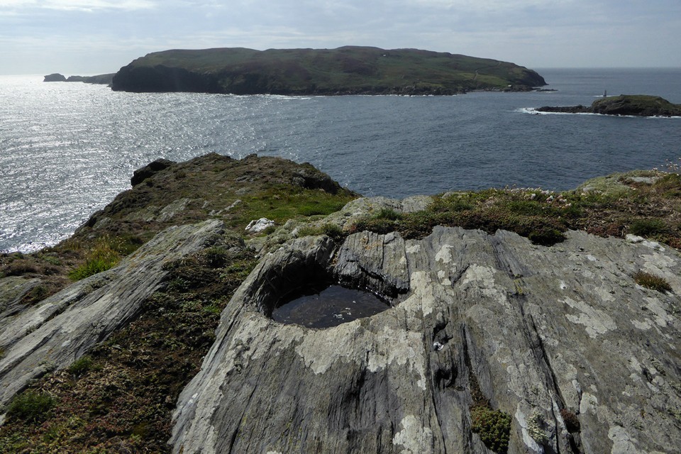
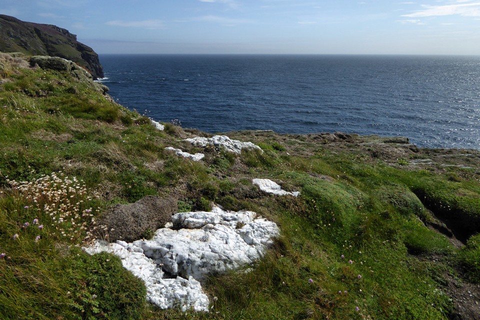
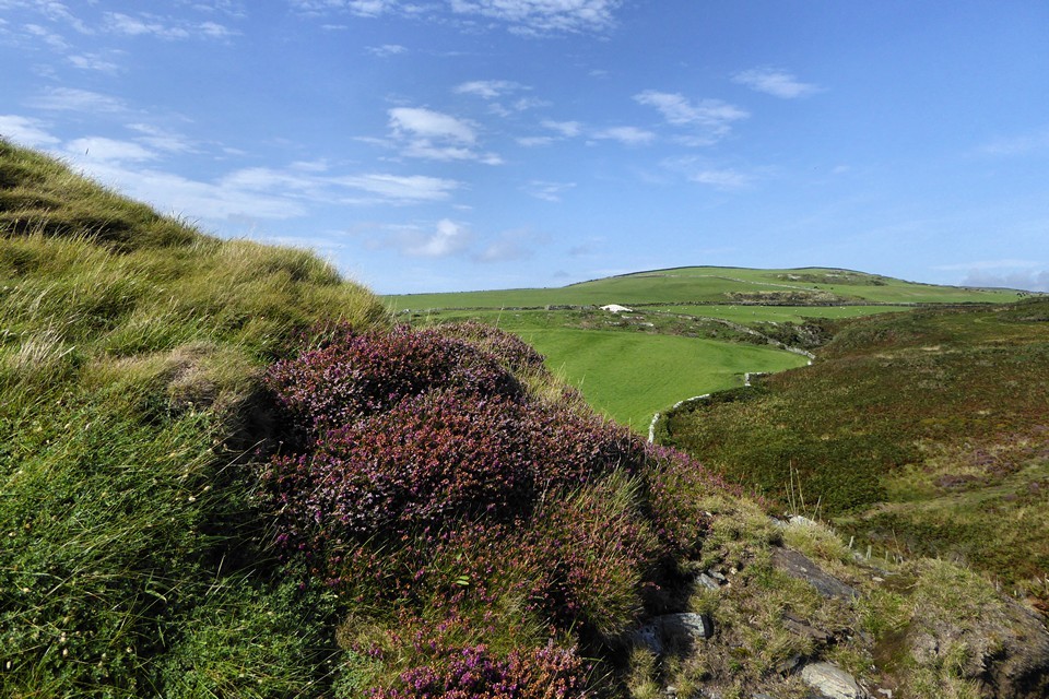
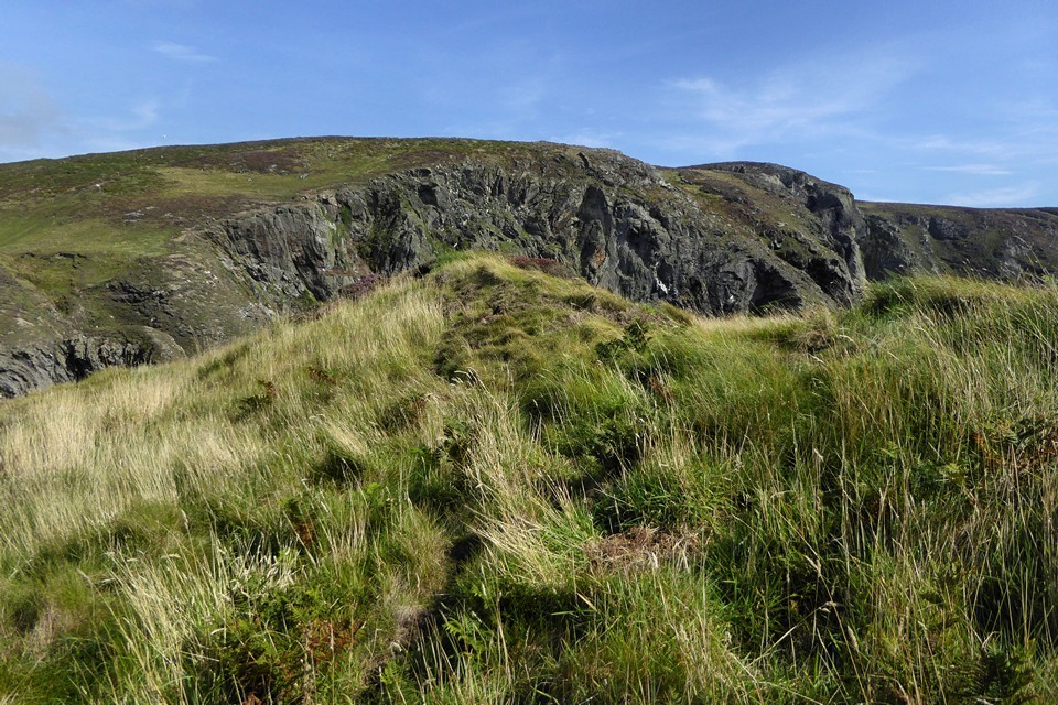
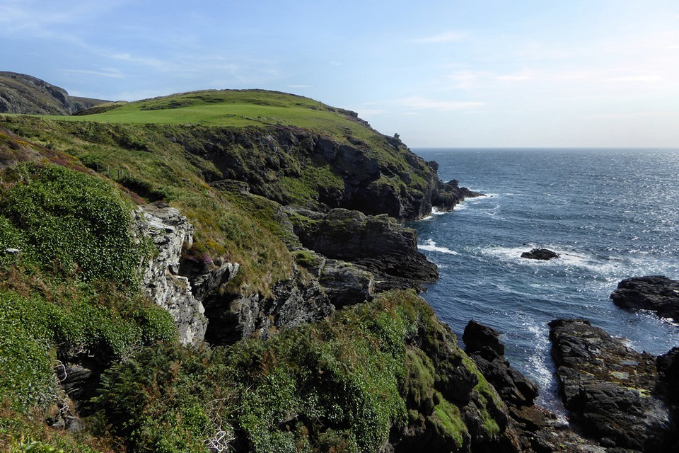
This Iron Age promontory fort contains of a group of structures, both round and rectangular. At least 40 cup markings in 12 different locations have been found within the the enclosure, and others found on the outcropping rocks in the vicinity.
Comments (0)
|
Add a comment
|
Permalink
Posted by
Rivington Pike
27th December 2003ce