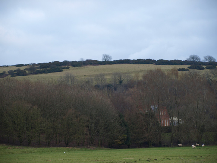
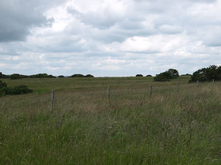
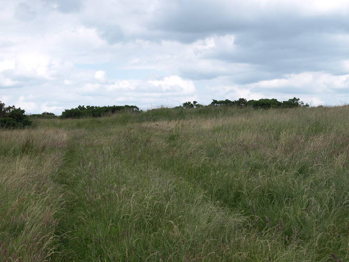
I finally found the time to visit this site. I spent three hours here and barely scratched the surface. This is a massive place covering about one hundred acres. There is a lot to see, but like many similar sites it's difficult to photograph, espescially when the grass is high.
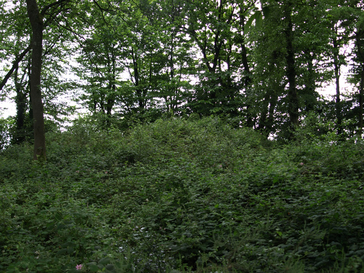
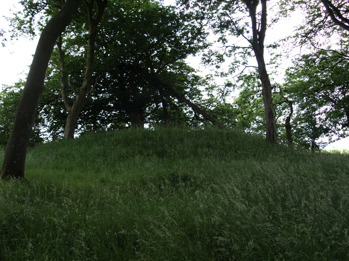
Preserved in small woodland areas are several round barrows, two of which I managed to find. The most southerly is in fine condition with no obvious signs of damage. The second, near Jackman's cross is very overgrown and difficult to get close to.
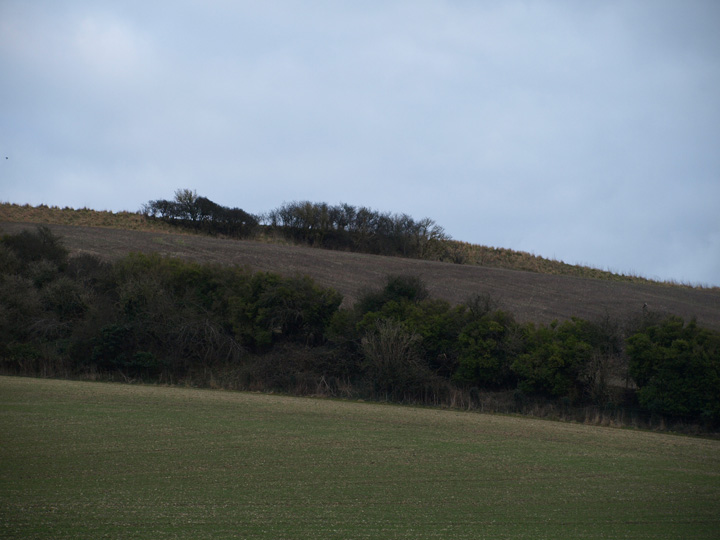
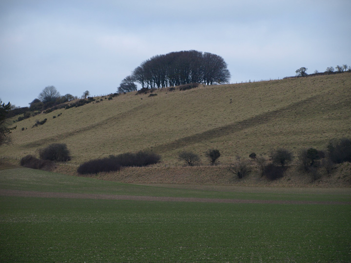
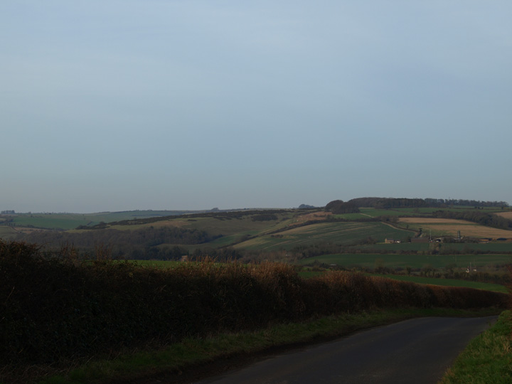
To the south across the valley of the Frome is the Penn hill / Seven barrow plantation, while to the north is Smacam down.
There is a good path up a gently sloping hill and stunning views for 360 degrees, well worth a visit for them alone.
(Centred SY 644956) Settlement (NR). (1)
A settlement on Grimstone Down consisting of traces of Celtic fields covering more than 100 acres. Towards the centre of the area, the fields become more clearly defined and between the field banks several hollowed tracks converge on a series of smaller enclosures; these show no traces of dwellings but probably represent the position of the main settlement (see plan). To the east of the dyke (SY 69 NW 39) are further remains of a Celtic field system extending some distance to the south. (2)
The excavation for a reservoir on Grimstone Down in 1950 at SY 64629530 revealed that the earthworks were of lynchet construction rather than the remains of deliberately constructed banks. The only internal feature observed was a small shallow pit (or trench?) near the centre of the east face of the excavation, which contained pottery sherds. The majority of sherds, however, were found in the excavation spoil and appeared to be all of Iron Age 'C' type with the exception of a few Iron Age 'A' and possibly 'B' sherds. About 40 yds from the south-east corner of the reservoir, the pumping-main trench sectioned what appeared to be an ancient trackway from the settlement, running a few yards west of, and parallel to the modern trace to Jackman's Cross. (3)
SY 64719552. Late Romano-British pottery was found during 1969-70 in material brought to the surface of a trench dug for repairing the water-main on Grimstone Down. The trench revealed at one point, a layer of flint which coincided with field banks, still intact to the north and south. Three hundred sherds of Romano-British coarse ware, two sherds of New Forest ware, twenty-one nails and a small fragment of roof-tile were found embedded in the surface of the flint layer. No evidence of earlier occupation was found below the layer and it was suggested that the flint represented the scattering of an earlier field bank in the 4th century by Romano-British occupation. (4)
Details of one barrow on Pastscape - Monument No. 1457331
A Bronze Age bowl barrow on Grimstone Down. It is part of a barrow cemetery comprising eight barrows and survives as an elongated earthwork measuring 17 metres northeast-southwest by 12.8 metres northwest to southeast and about 1.6 metres high. The barrow is listed as Stratton Number 4 by Grinsell (1959), Barrow Number 15a by RCHME (1952) and as Barrow F by the Ordnance Survey.
Details of one barrow on Pastscape - Monument No. 453207
A Bronze Age barrow, possibly a bowl barrow, on Grimstone Down. It is part of a barrow cemetery comprising eight barrows and survives as an earthwork up to 0.4 metres high, surrounded by a ditch 2 metres wide by 0.2 metres deep. The barrow is listed as Barrow Number 15b by RCHME (1952) and as Barrow H by the Ordnance Survey. It was not recorded by Grinsell (1959).

 Posted by formicaant
 Posted by Chance