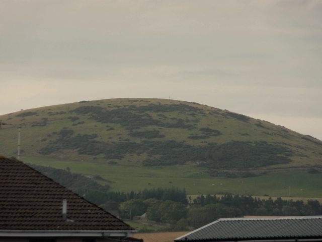
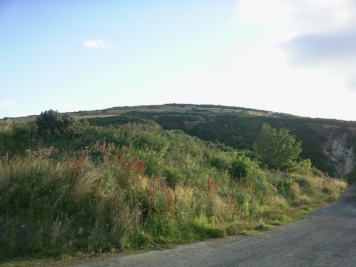
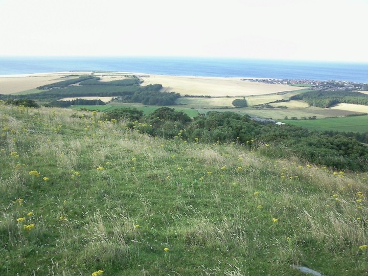
Durn Hill towers over the small port of Portsoy and has good all round views. I parked at the quarry opposite Broomhills farm. From here a path leads so far up the hill then its watch your feet.
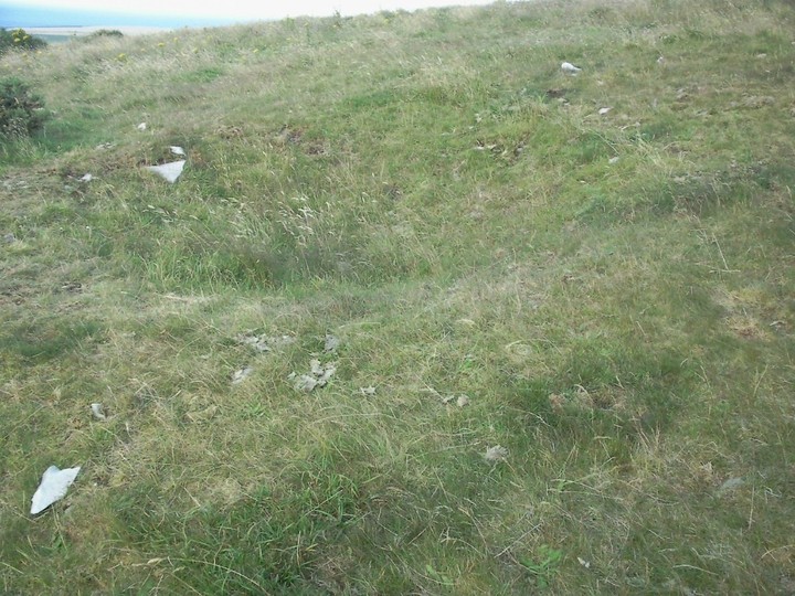
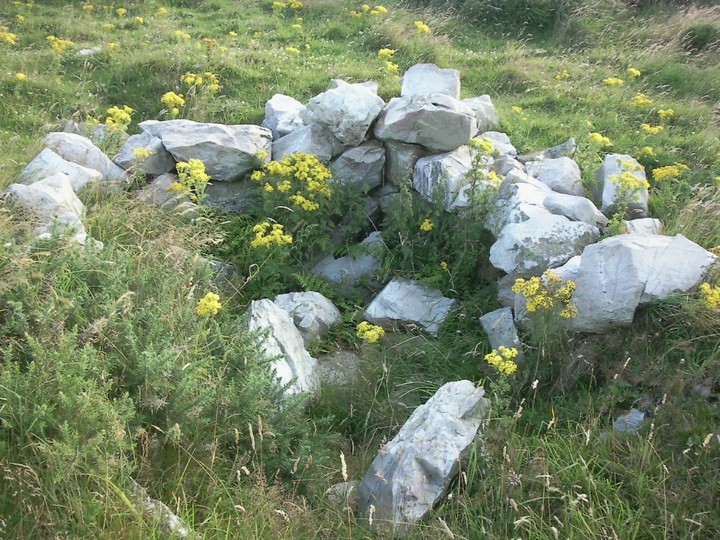
The fort is at the top, I went via the cairn, which means I climbed from the east. Earthworks can be seen at NJ573634 and Canmore suggests that there are various cists. Certainly there are plenty of large granite boulders lying about. However the hill is more famous for it's white quartize, it's everywhere. It seems that walls and ramparts for the fort were made from this rock.
To the south west the remains of a ditch and wall are visible, a shorter ditch is on the northern side. Two circular structures can also be seen, one as a hollow another built from white quartize, this might be a type of souterrain although I'm not sure.
Canmore says that the fort was unfinished and had three lines of defence. One thing for certain-the North Sea/Moray Firth has a very strong wind! The climb in places is fairly steep and the strength of the wind, today, helped the climber!
"Durn, a hill and a burn in the Fordyce Parish of North Banffshire. The hill culminates 2 miles south west of Portsoy, and, rising to altitude of 651 feet above sea level, is crowned with the remains of an ancient camp, supposed to have been Danish. A quarry on it's northern side yields a beautiful variety of quartz, exported to England for the use of the potteries. The burn, rising near Smithfield (a farm), at an altitude of 600 feet runs 6 miles north-north-eastward to the sea at Portsoy."
Ond. Sur., sh.96, 1876.
Ordnance Gazetteer Of Scotland
by Thomas C. Jack between 1882 and 1885.
(The burn enters the sea at Portsoy harbour right next to the Shore Inn pub. Hurrah!)