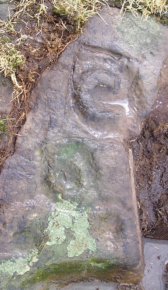
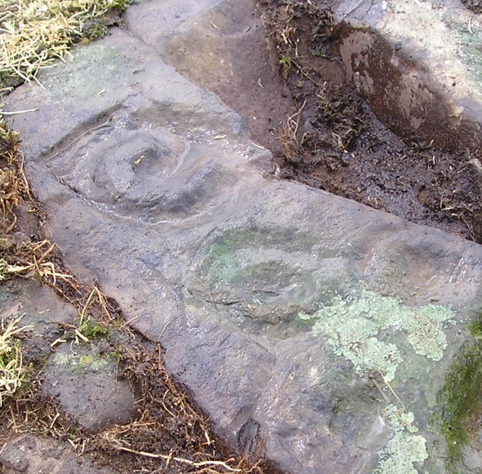
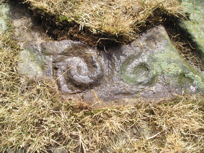
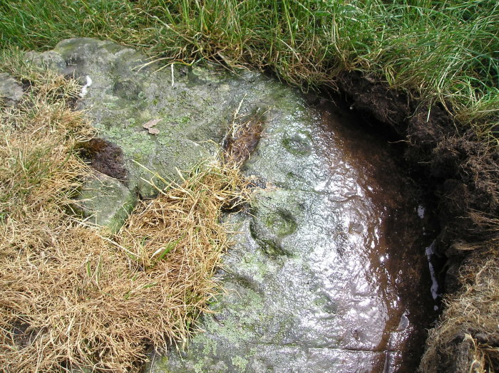
High Nunton
Cup and Ring Marks / Rock Art
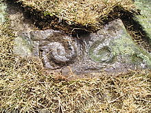 Image © tiompan Image © tiompan
|
| Nearest Town: | | Kirkcudbright (3km NE) | | OS Ref (GB): | | NX6515449036 / Sheets: 83, 84 | | Latitude: | | 54° 49' 4.06" N | | Longitude: | | 4° 5' 55.92" W |
|
|
Web searches for High Nunton
|
|
|
A previously unrecorded marked rock , pics don't do justice to the markings . Must return in good winter light to get a clearer image .
|
 Posted by tiompan
15th July 2014ce
|
|