The Modern Antiquarian
Log in
|
Register
Home
Latest Posts
Forums
Maps
Help
Browse Sites
News
Blog
Contributors
The Books
Select
-
Belgium
Denmark
Eire
France
Germany
Greece
Italy
The Netherlands
Norway
Portugal
Republic of Malta
Spain
Sweden
Switzerland
United Kingdom
Northern Ireland
County Down
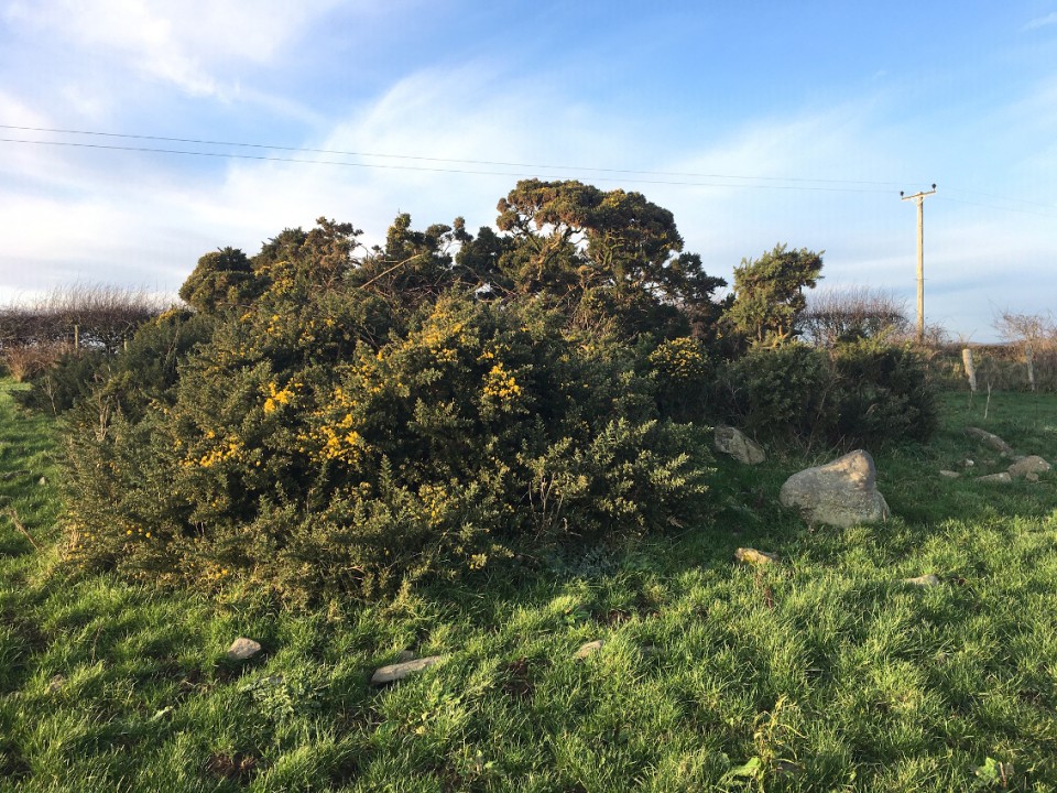
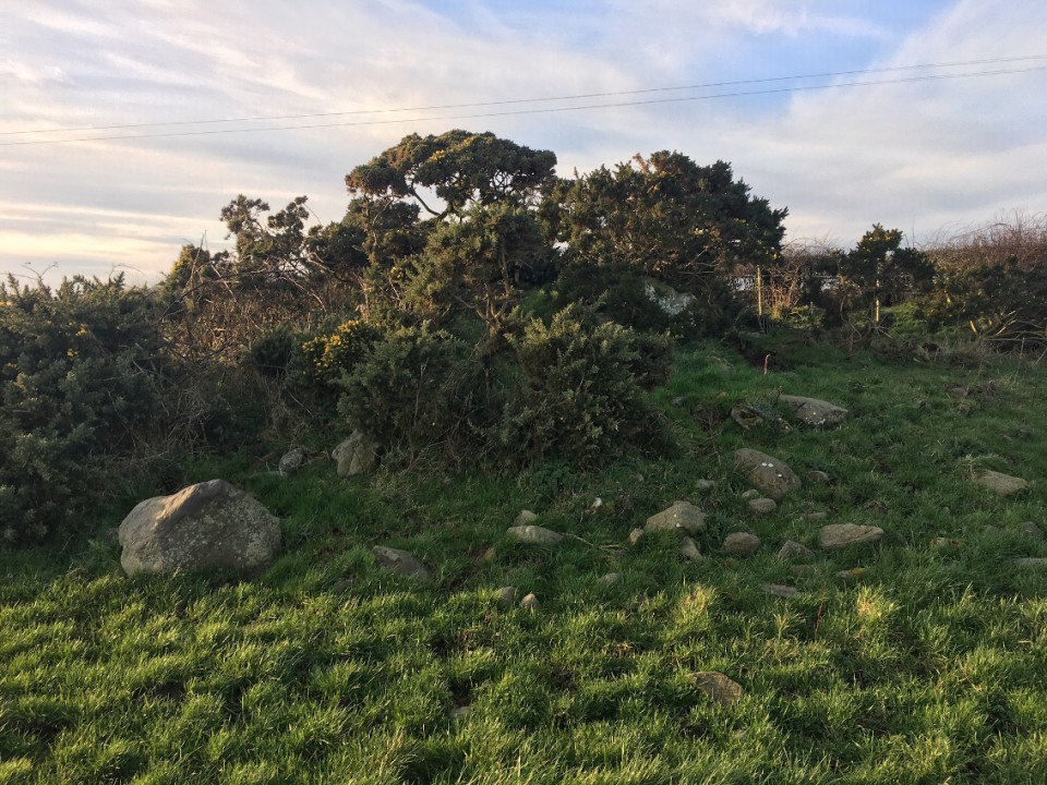
Ardtole
Chambered Tomb
Ardtole (Cross of Ardtole) (Chambered Tomb) on The Modern Antiquarian, the UK & Ireland's most popular megalithic community website. 2 images, plus information on many more ancient sites nearby and across the UK & Ireland.
Image © ryaner
Also known as:
Cross of Ardtole
OS Ref (GB):
SB6582492532
Latitude:
54° 16' 28.15" N
Longitude:
5° 35' 50.28" W
Added by
ryaner
Images (2)
1 discussion topic
Start a topic
Show |
Hide
Web searches for Ardtole
Flickr
Google
Google Images
Megalithomania
Bing
Stone Pages
Streetmap.co.uk
Wikipedia
Show map
(inline Google Map)
- Sites within 20 km -
-
Chapeltown (1.34km NE) (0 posts)
Ballyalton (6.82km NW) (0 posts)
Slievenagriddle (The Giant's Griddle) (7.4km NW) (0 posts)
Carrownacan (7.83km NW) (2 posts)
Ballystokes (7.92km NW) (1 post)
Loughmoney (7.92km NW) (4 posts)
Churchtown (8.34km N) (2 posts)
Ballynoe (8.5km W) (56 posts)
Audleystown (11.52km N) (11 posts)
Millin Bay (12.39km NE) (6 posts)
Annadorn (15.25km W) (8 posts)
Wateresk Dolmen (17.62km WSW) (9 posts)
Wateresk Standing Stone (17.93km WSW) (6 posts)
- Add -
-
Add news
Add an image
Add fieldnotes
Add folklore
Add miscellaneous
Add a link
-
Add a site
Add a nearby facility
Add an alternative name/spelling
Images
(click to view fullsize)
Add an image
 Image © ryaner