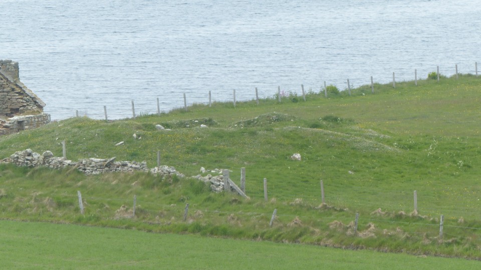
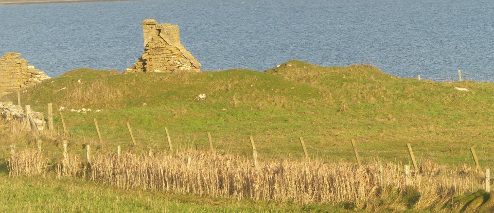
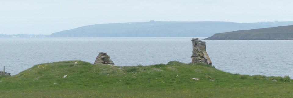
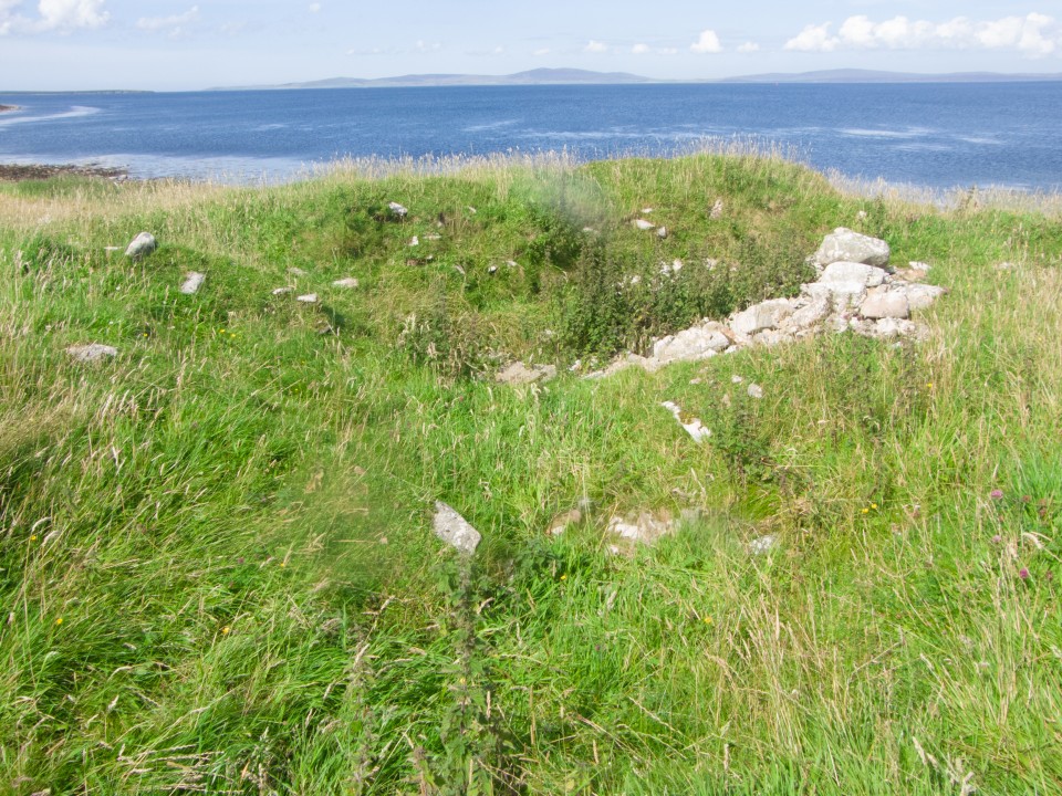
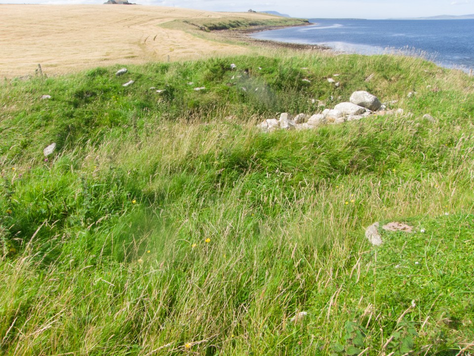
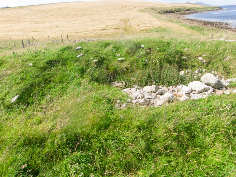
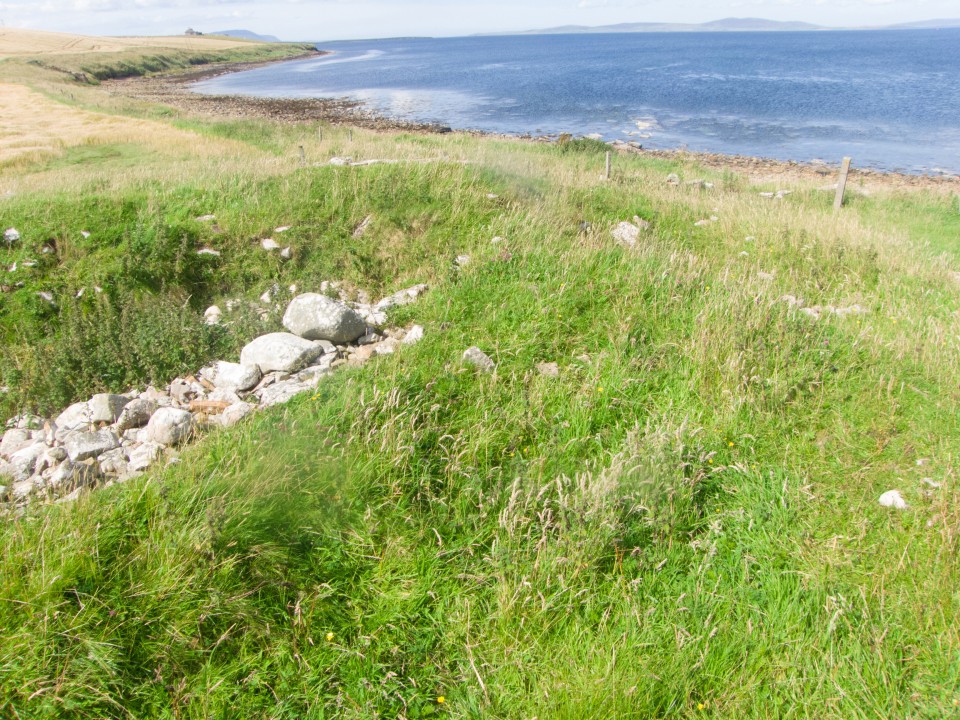
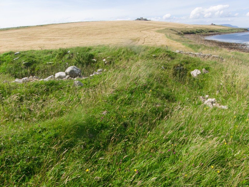
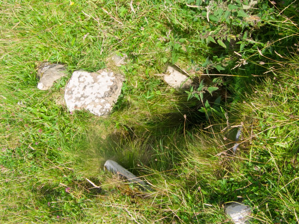
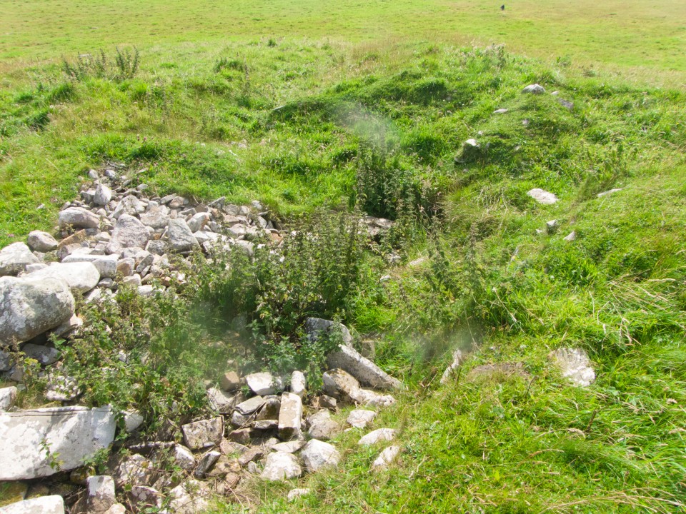
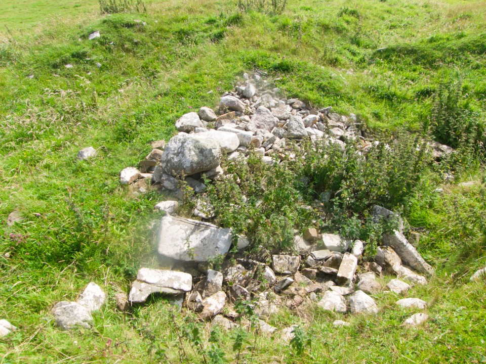
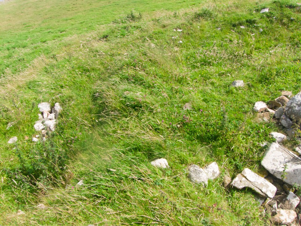
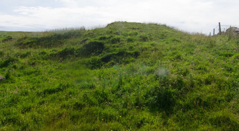
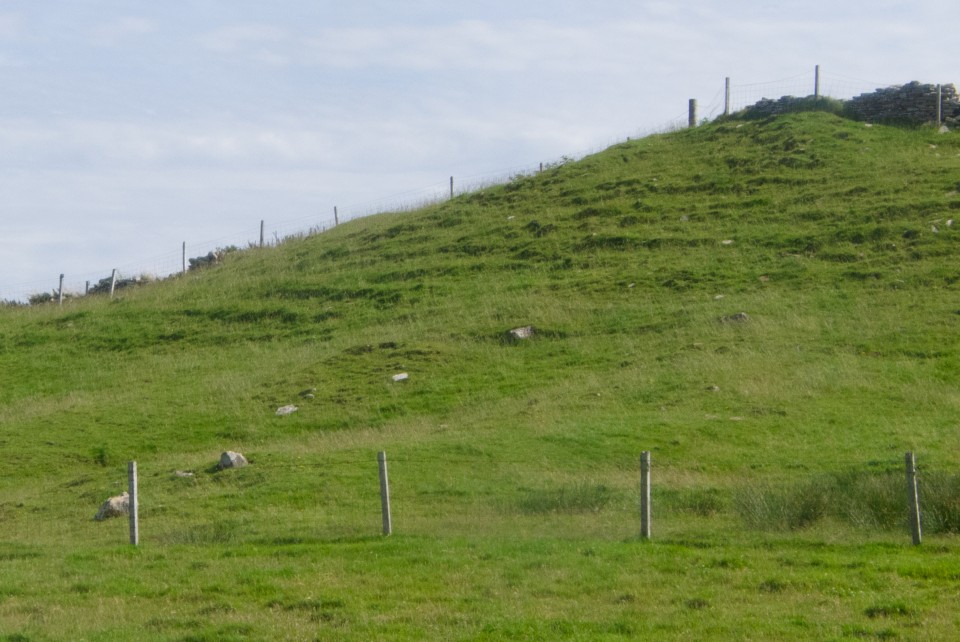
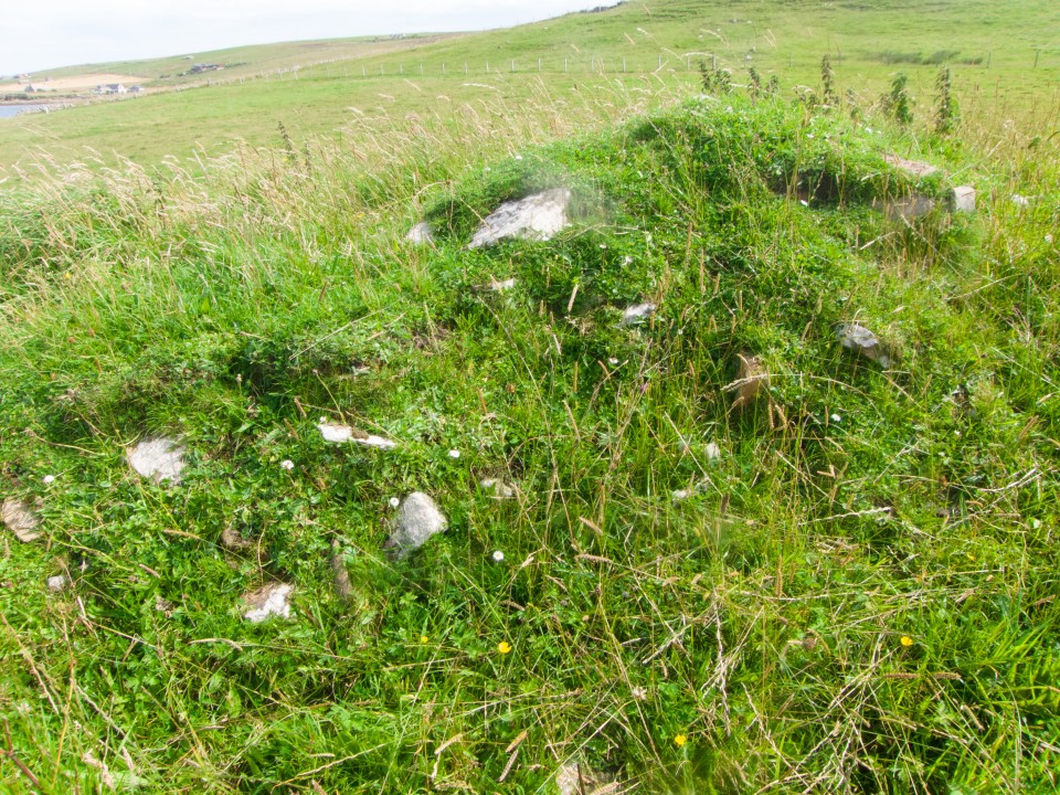
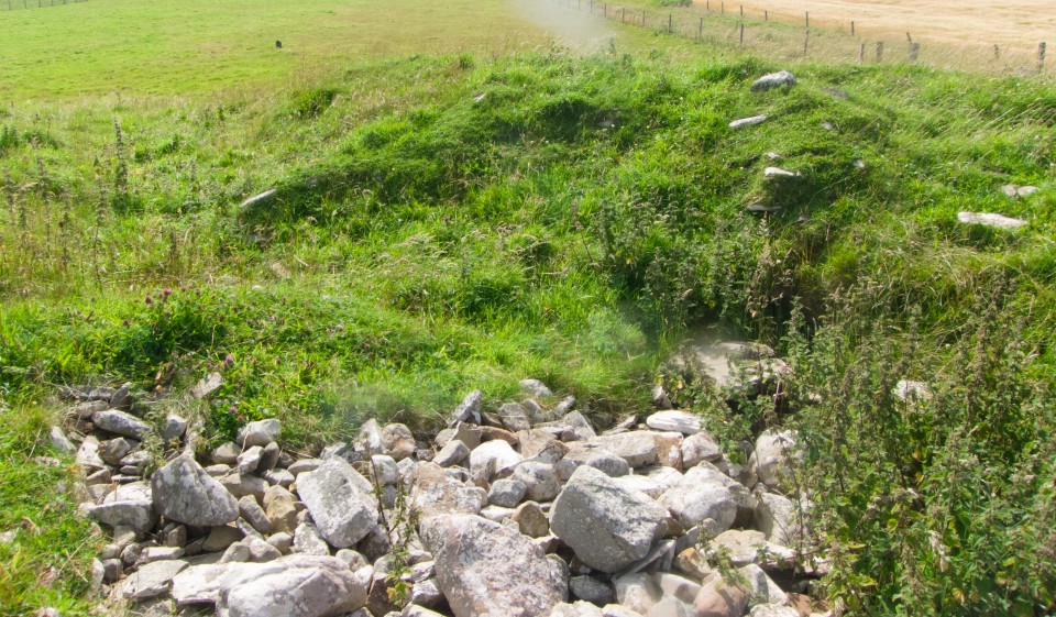
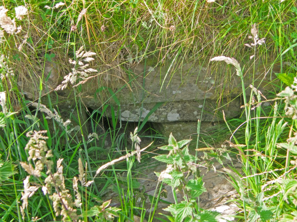
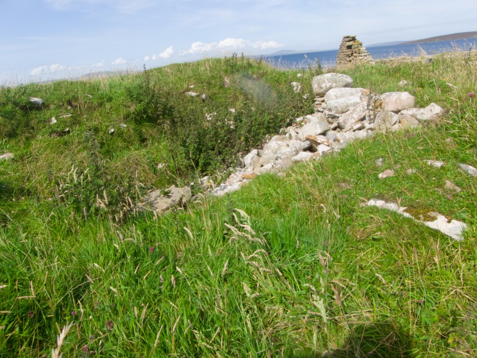
As you leave the broch take the road up until you see a large hut on your right Facing this open the gate to your right and then the gate beyond that, closing both behind you. Look left to the ruined croft and the settlement mound is just in front. The pre-broch settlement or ‘homestead’ covers some 28x18m and is up to 1.5m high, and was originally at least 10m more inland than the present 15m. A modern wall crosses the site, obscuring the interior. Wide turf-covered banks up to 3m ht. surround a 13mD central structure with an uneven dished sub-circular interior where loose stones indicate a later insertion (Viking fortlet or a planticrû ?). On the S side entry to the structure is by a 3m passage though the enclosing banks. At the NNW a semi-subterranean passage or intra-mural gallery has become blocked by stones in recent decades [I know this because a fellow Brochaholic got in once]. On site it feels to me like Castle House in East Holm, where, near to the broch site at St Nicholas Church, a square building (likely Viking) has been placed within an earlier circular structure
NMRS record no..ND49SW 2
Traditionally a passage connects the Little Howe of Hoxa to the Howe of Hoxa, but Petrie found no traces.- Wainright’s avenue is declared to be one of several linear stone clearance heaps. When Petrie investigated (through partial excavation) the already disturbed mound he found a central structure within two curvilinear concentric walls having a passage approx.. 2’ high and 12-16” wide at the base increasing a little in width at the top. The wall combo was ~21’ wide either side of the entrance then decreased to 13’ wide, and enclosed an irregular central chamber of 20’D. Inside a gallery extended behind the wall. As well as a southern ‘doorway’ cut down to the bedrock there was another passage opposite connecting to the ‘inner court’. Both entrance passage and gallery passages were lintelled.