The Modern Antiquarian
Log in
|
Register
Home
Latest Posts
Forums
Maps
Help
Browse Sites
News
Blog
Contributors
The Books
Select
-
Belgium
Denmark
Eire
France
Germany
Greece
Italy
The Netherlands
Norway
Portugal
Republic of Malta
Spain
Sweden
Switzerland
United Kingdom
Wales
Powys
Radnorshire
Twyn y Garth
Hillfort
Twyn y Garth (Hillfort) on The Modern Antiquarian, the UK & Ireland's most popular megalithic community website. 10 images, plus information on many more ancient sites nearby and across the UK & Ireland.
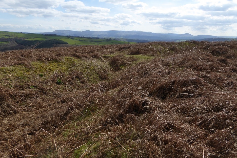
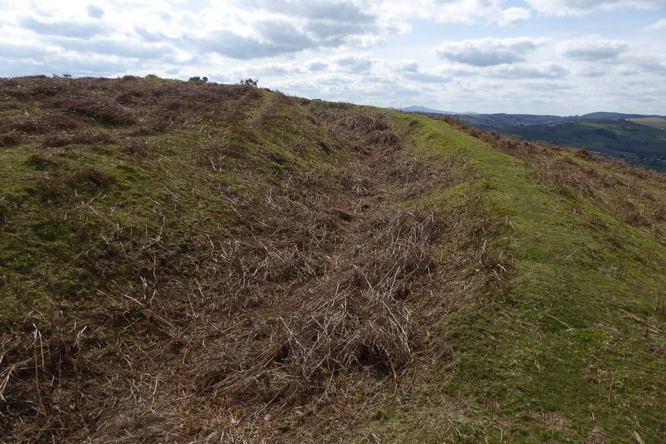
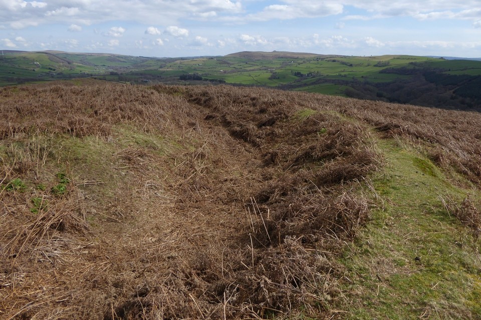
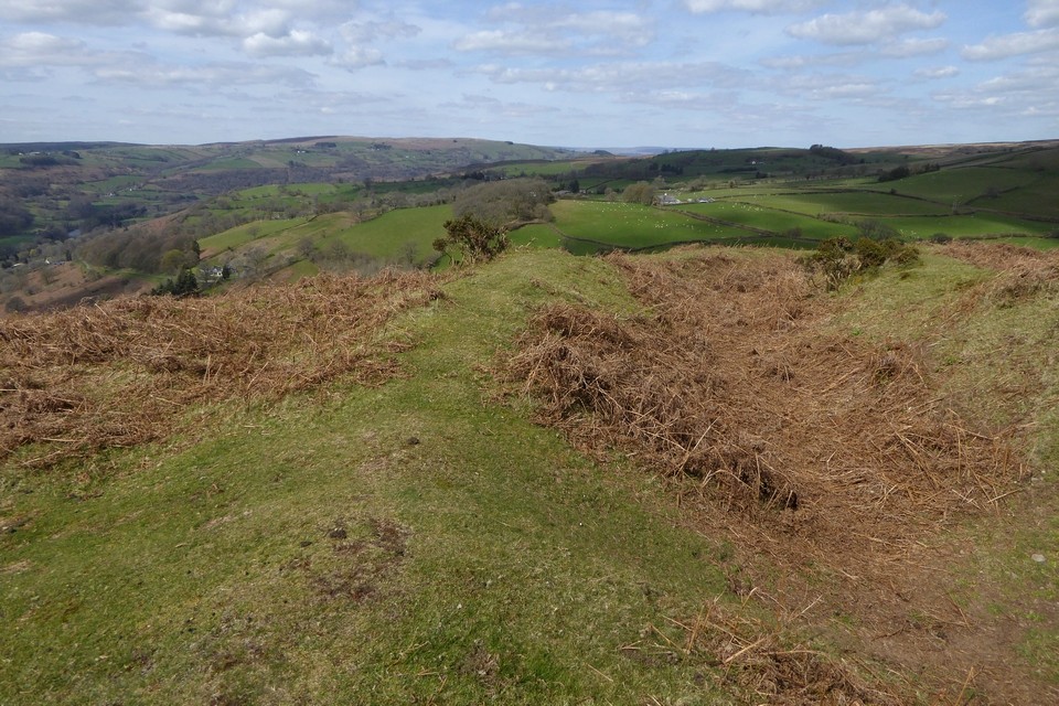
Image © A. Brookes (8.4.2023)
Nearest Town:
Builth Wells (10km NW)
OS Ref (GB):
SO107437 /
Sheets: 148, 161
Latitude:
52° 5' 2.39" N
Longitude:
3° 18' 12.18" W
Added by
thesweetcheat
Images (10)
0 discussions
Start a topic
Show |
Hide
Web searches for Twyn y Garth
Flickr
Google
Google Images
The Megalithic Portal
Bing
Stone Pages
Streetmap.co.uk
Wikipedia
Show map
(inline Google Map)
- Sites within 20 km -
-
Twyn y Garth barrows (0.19km NE) (7 posts)
Blaen Henllan (1.95km NNW) (1 post)
Pen Cae Newydd (2.06km NE) (1 post)
Neuadd Glan-Gwy (3.14km ESE) (6 posts)
Maen Hir (Boughrood) (4.43km SE) (12 posts)
Boughrood Court (4.58km SE) (1 post)
Maesgwyn Mound (5.66km E) (1 post)
Banc y Celyn (6.11km W) (22 posts)
Pen-rhiw-wen (6.16km SE) (11 posts)
Twyn-y-Big (6.29km W) (21 posts)
Gwaun Ymryson (7.88km WSW) (8 posts)
Cefn Wylfre (8.05km NNE) (4 posts)
Spread Eagle (8.05km ESE) (2 posts)
Lane Farm (8.07km ENE) (1 post)
Cefn Clawdd (8.1km WSW) (9 posts)
Bryn yr Hydd (8.25km E) (6 posts)
Mynydd Epynt (Eastern) (8.35km WSW) (0 posts)
Twyn-y-Post (8.35km WSW) (11 posts)
Pipton (8.37km ESE) (9 posts)
Garth (Duhonw) (8.68km WNW) (8 posts)
Rhos-Goch Chapel (8.7km ENE) (1 post)
Moll Walbee's Stone (8.7km E) (6 posts)
Tre Durn Wood (8.99km SSE) (1 post)
Coed-y-Polyn (9.11km ESE) (9 posts)
Little Lodge (9.48km ESE) (26 posts)
Bryn y Groes (9.55km ESE) (2 posts)
Six Stones (9.72km NE) (2 posts)
Tywn-Y-Gaer (near Llaneglwys) (9.93km SSW) (1 post)
Clyro Court Farm (10.48km E) (7 posts)
Hundred House Common (10.5km N) (1 post)
Hillis Camp, Llanfilo (10.92km SSE) (2 posts)
Pen-yr-Allt (11.01km SSE) (1 post)
Glascwm Mill Cottages (11.02km N) (1 post)
Carneddau Hill (Builth Wells) (11.13km NW) (11 posts)
Giants Grave (11.21km NNE) (16 posts)
Crossfoot Farm (11.31km ENE) (6 posts)
Ffostyll (11.37km ESE) (37 posts)
Cwm Berwyn, Carneddau (Builth Wells) (11.61km NW) (14 posts)
Talgarth Camp (12.12km SE) (1 post)
Carneddau North (Builth Wells) (12.2km NW) (14 posts)
Pen-y-Wyrlod (12.29km E) (26 posts)
Drostre Bank (12.4km S) (0 posts)
Castle Bank (12.58km NNW) (24 posts)
Cwm Stone (12.59km NNW) (5 posts)
Penyrwrlodd (12.96km SE) (23 posts)
Pen-twyn Camp (Brilley) (13.03km ENE) (1 post)
Wern Frank Wood (13.7km ESE) (13 posts)
Bryn y Maen (13.98km NNE) (12 posts)
Twyn-y-Beddau (14.29km E) (15 posts)
Y Das (14.33km ESE) (15 posts)
Gelli Hill Cairn (14.58km NNW) (10 posts)
Pen-y-Beacon (14.63km E) (44 posts)
Fedw (14.69km N) (6 posts)
Gelli Hill (14.7km NNW) (19 posts)
Gelli Hill stone (14.71km NNW) (8 posts)
Mynydd Bychan (14.75km ESE) (22 posts)
Twyn-Llechfaen (14.78km S) (2 posts)
Bryn y Maen fallen monolith (14.84km NNE) (4 posts)
Graig Camp (14.88km N) (11 posts)
Bwlch Bach a'r Grib (15.22km ESE) (22 posts)
Milton Hill (15.3km ENE) (1 post)
Pen-y-Beacon (15.33km E) (31 posts)
Castell Dinas (15.36km SE) (36 posts)
Gilwern Hill (15.39km NNW) (7 posts)
Cwm Maerdy (15.47km N) (7 posts)
Pen y Crug (15.48km SSW) (30 posts)
Archenfield (15.51km E) (4 posts)
Llanerch Stone (15.69km NNE) (6 posts)
Fennifach (15.79km SW) (3 posts)
Pawl Hir (15.79km NNW) (5 posts)
Carregwiber (15.93km NNW) (8 posts)
Little Hill cairn III (16.06km NNW) (1 post)
Church of St Michael (16.08km NNE) (2 posts)
Slwch Tump (16.11km SSW) (15 posts)
The Van (16.12km NNE) (12 posts)
Llanfihangel Nant Melan (16.16km NNE) (1 post)
Broomy Hill (16.2km NNW) (3 posts)
Mynydd Troed (16.21km SE) (20 posts)
Little Hill cairn II (16.27km NNW) (1 post)
Ffrwd Stone (16.28km NNW) (6 posts)
Parc-y-Meirch (16.48km E) (0 posts)
Ty Isaf (16.48km SE) (11 posts)
Battle (16.51km SW) (8 posts)
Llan Oleu (16.51km E) (4 posts)
Carregwiber (stone 1) (16.53km NNW) (7 posts)
Maen Richard (16.58km SW) (1 post)
Mynydd Llangorse promontory fort (16.81km SE) (22 posts)
Nant Bwch (16.91km ESE) (3 posts)
Pen Trumau, Black Mountains (16.97km ESE) (20 posts)
Llanhamlach (16.98km S) (5 posts)
Coed Fenni-fach (16.99km SW) (3 posts)
The Beacon (Llandrindod) (17km NNW) (6 posts)
Newbridge on Wye (17.1km WNW) (8 posts)
Little Hill VII (17.15km NNW) (4 posts)
Gold Post (17.16km E) (1 post)
Dol y Felin (17.23km WNW) (6 posts)
Caeau Enclosure, Cockit Hill (17.29km SE) (4 posts)
Garreg Fawr (Llanfihangel Nant Bran) (17.37km WSW) (1 post)
Ty Illtyd (17.41km S) (21 posts)
Tri Chrugiau, Mynydd Epynt (17.42km WSW) (10 posts)
Cefn Hill (17.56km E) (2 posts)
Mynydd Brith (17.65km E) (8 posts)
Ty Mawr (17.68km WNW) (5 posts)
Larch Grove (17.86km N) (1 post)
Gwern Dyfnant (18.16km NE) (1 post)
Mynydd Troed cairn (18.16km SE) (16 posts)
Mynydd Llysiau, Black Mountains (18.25km ESE) (4 posts)
Llandegley Rocks (18.35km N) (6 posts)
Blaneau-draw (18.48km SE) (11 posts)
Mynydd Llangorse (18.51km SE) (9 posts)
Cwm Shelkin (18.81km SE) (9 posts)
Twyn-y-Gaer (Trallong) (18.92km SW) (2 posts)
Allt yr Esgair (19.27km SSE) (19 posts)
Pen y Gadair Fawr (19.27km ESE) (28 posts)
Ynys Hir (19.31km WSW) (15 posts)
Blaen-y-Cwm Uchaf (19.4km SE) (4 posts)
Twyn-y-Gaer (Mynydd Illtyd) (19.47km SW) (12 posts)
Gannols Farm (19.79km E) (4 posts)
Capel Rhos (19.9km WNW) (4 posts)
Maen Llwyd (Twyn Du) (19.99km ESE) (28 posts)
- Facilities within 20 km -
-
Builth Wells Tourist I... (Tourist Information: 10.1 km NW)
Brecon Tourist Informa... (Tourist Information: 16.3 km SSW)
Brecknock Museum and A... (Museum: 16.5 km S)
Llandrindod Wells Tour... (Tourist Information: 18 km NNW)
Radnorshire Museum (Museum: 18 km NNW)
- Add -
-
Add news
Add an image
Add fieldnotes
Add folklore
Add miscellaneous
Add a link
Add a nearby facility
Add an alternative name/spelling
Images
(click to view fullsize)
Add an image
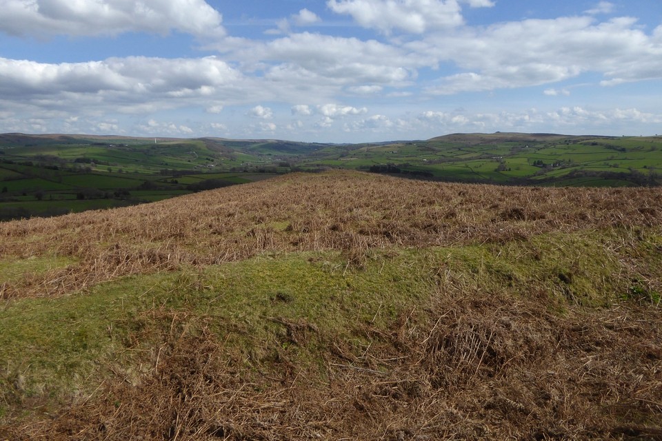
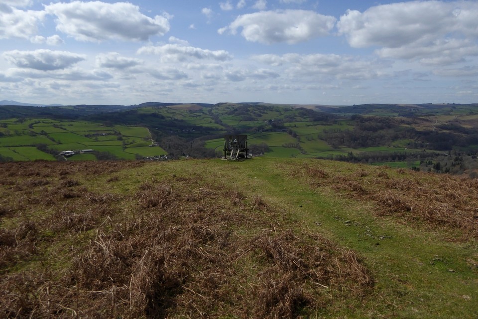
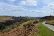 Image © A. Brookes (8.4.2023)
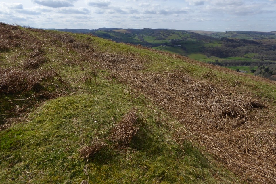
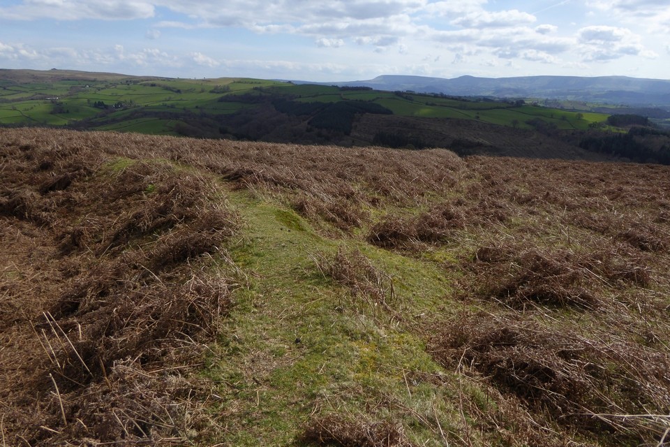