Sunday 2/11/03
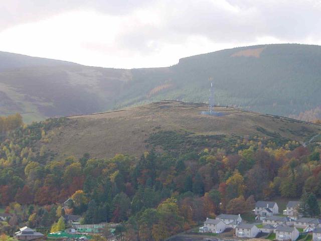
Through St. Ronan's Wood I follow the sight of the communications mast that now sits on the side of this fort. The fort is now split in two N/S by a dry stane dyke. On the eastern side of the wall the summit of the hill has been fairly extensively quarried and much of the ramparts and house platforms have been destroyed. However, climbing over the fence, the original features of this fortified settlement are more apparent- you can still see about four of the hut circles and most of the ramparts. From the summit there is a commanding view of the Tweed Valley and across the other side of the Leithen Water glen to the Pirn Hill Fort.
From the RCAHMS 1967;
Excavations carried out in the 19th c somewhere in the part of the settlement that lies to the W of the boundary dykes revealed "several bronze bracelets", one of which was of penannular form with expanded terminals (W A Chambers 1864). It is not known where these objects now are.