HY 44 09. RCAHMS No. HY40NW 5.
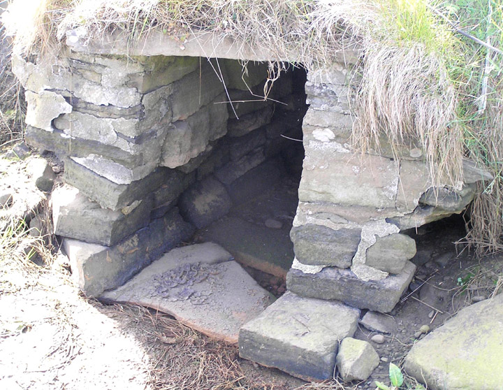
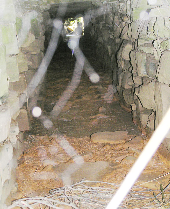
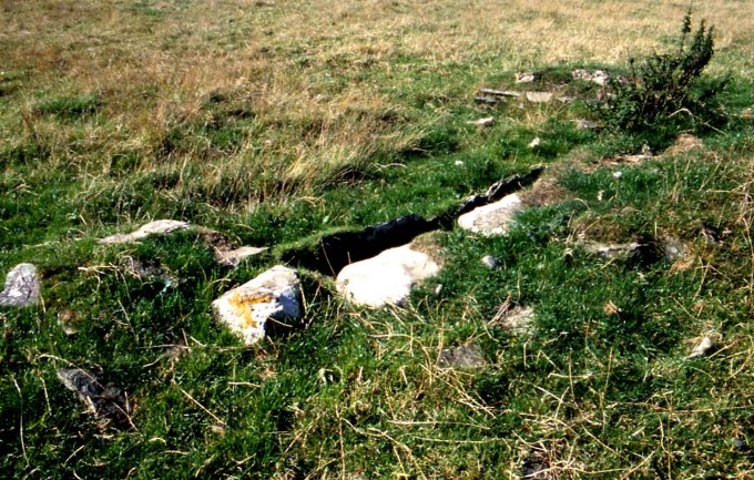
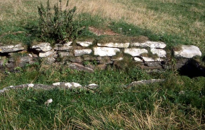
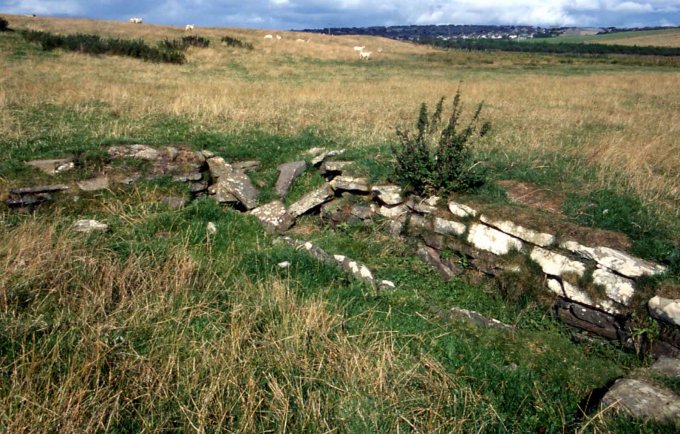
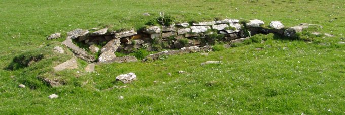
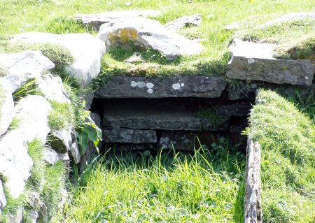
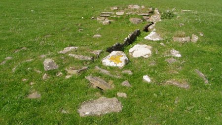
Not being found in the Crantit region RCAHMS have referenced this to a structure in Upper Scapa. Not easy to get to, lying in a valley field. If it isn't a souterrain it could represent the remains of a chambered cairn. It has been suggested to me that it was made for cattle but I reckon the line of very short stone orthostats along the length would risk their laming.
The reason Ordnance Survey found no memory of the site with the farmer in 1966 is that the Bichan's only bought Crantit in 1949 .
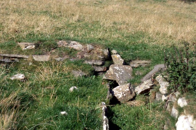
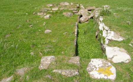
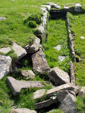
The 1882 map shows two Hillheads. The second, just before you come to Highland Park Distillery, is no longer extant. It was called Hillhead of Crantit (HY45090927). HY40NW 13 places two balls recovered here (though confusingly also naming it Hillhead House, which is Hillhead of Scapa) .The other side of the house boundary, at HY45090924, was a minor earthwork. Though my photos are of the feature identified by the O.S. as the souterrain it strikes me as a possibility, should our identification prove wrong, that it may have been there instead.
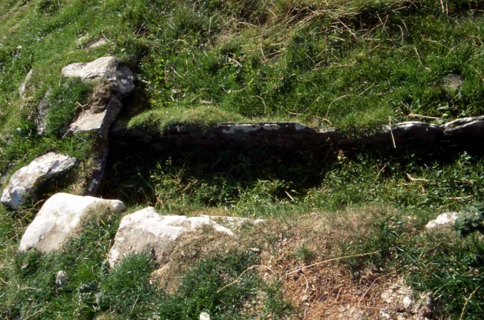
It is possible that the site the O.S. identified with the souterrain is the same as that Old-maps shows to have been marked as one of Orkney's multitude of wells. Too close to call.


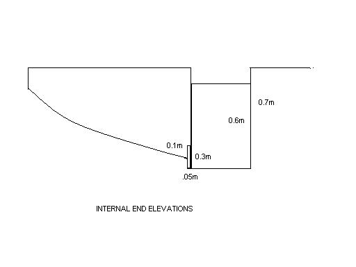
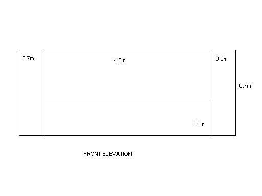
 Maps / Plans / Diagrams:
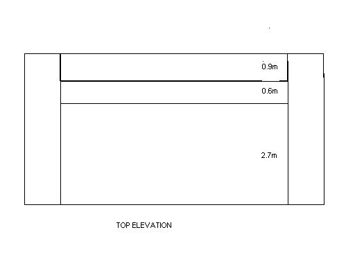