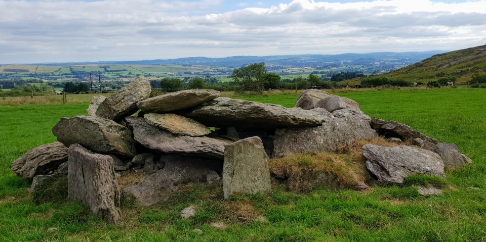
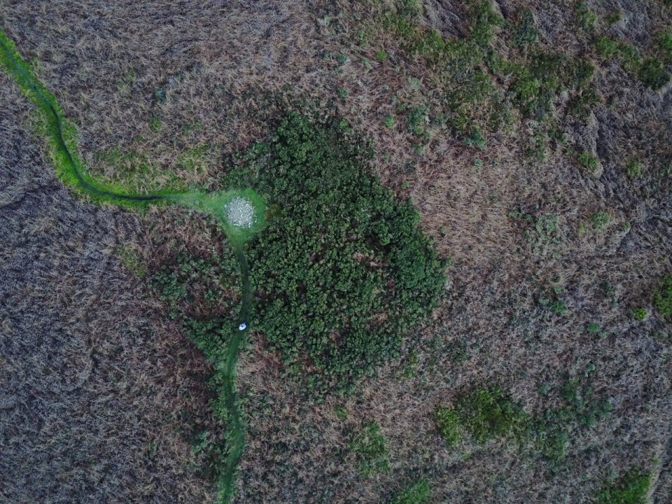
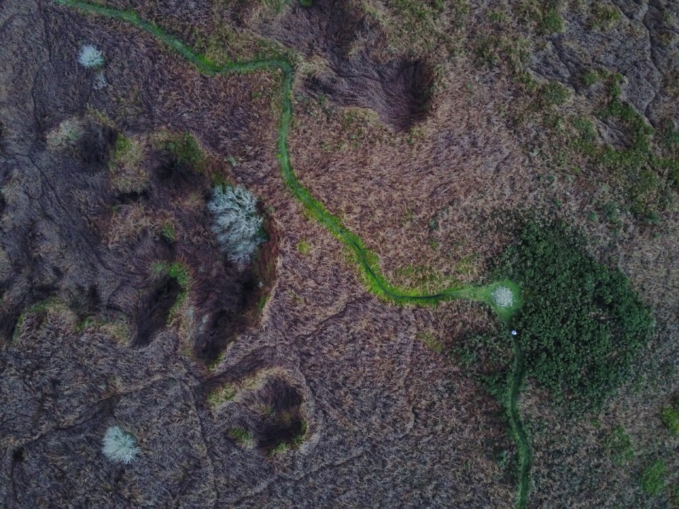
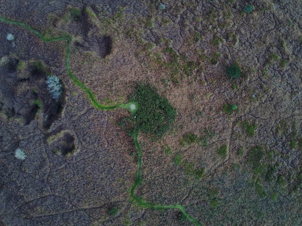
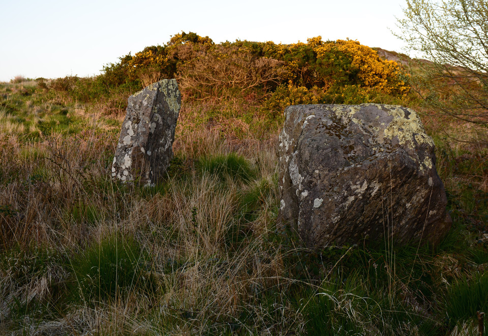
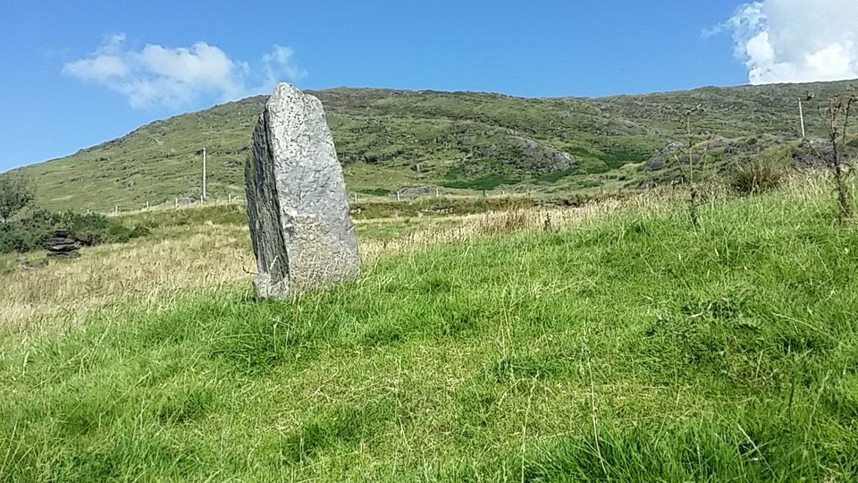
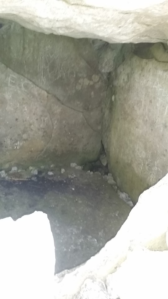
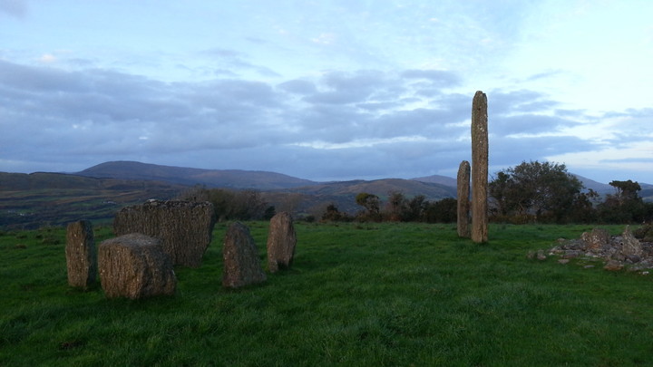
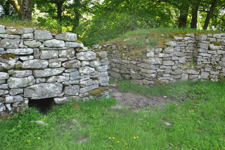
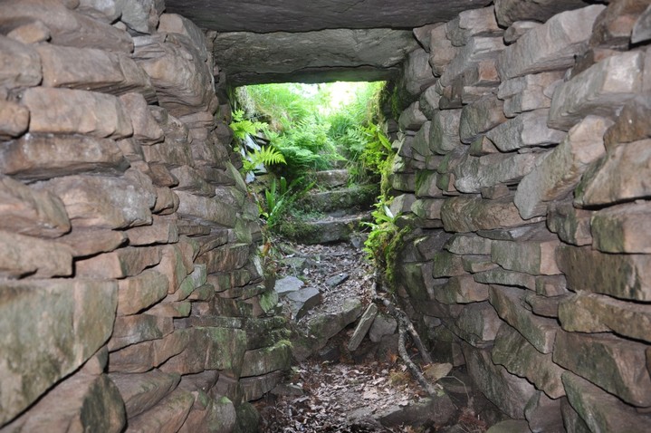
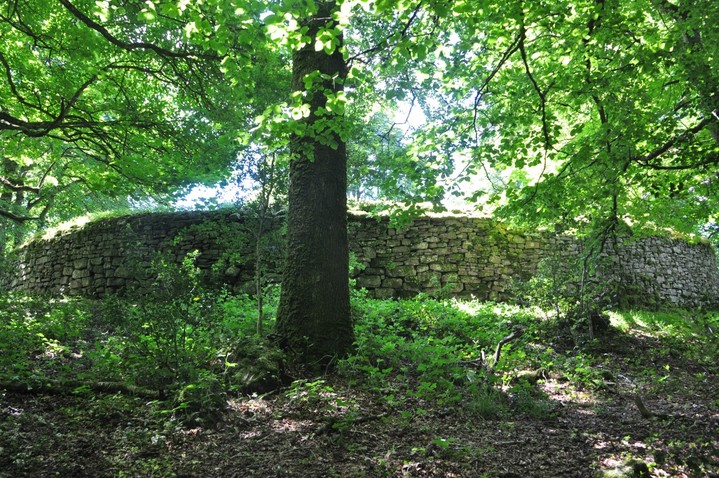
The Modern Antiquarian. Ancient Sites, Stone Circles, Neolithic Monuments, Ancient Monuments, Prehistoric Sites, Megalithic Mysteries

Get the TMA Images feed
bogman's Latest Posts

Latest Posts
Showing 1-50 of 1,522 posts. Most recent first | Next 50

Clogher (Stone Fort / Dun) — Links

Youtube - Charles Coughlan


Clip of the fort from inside.

Drumanone (Portal Tomb) — Images (click to view fullsize)

<b>Drumanone</b>Posted by bogman<b>Drumanone</b>Posted by bogman

Drumanone (Portal Tomb) — Fieldnotes

Correct GPS co-ordinates for Drumanone are
53.97019 N
08.35432 W

Otherwise you will find yourself at the other side of the railway line

North tomb (Passage Grave) — Images

<b>North tomb</b>Posted by bogman

Knocknarea (Cairn(s)) — Images

<b>Knocknarea</b>Posted by bogman

Clogher (Stone Fort / Dun) — Fieldnotes

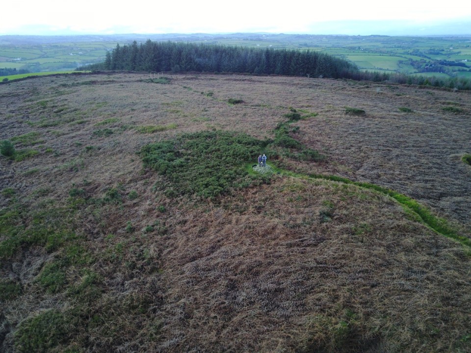
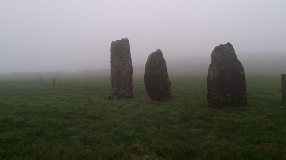
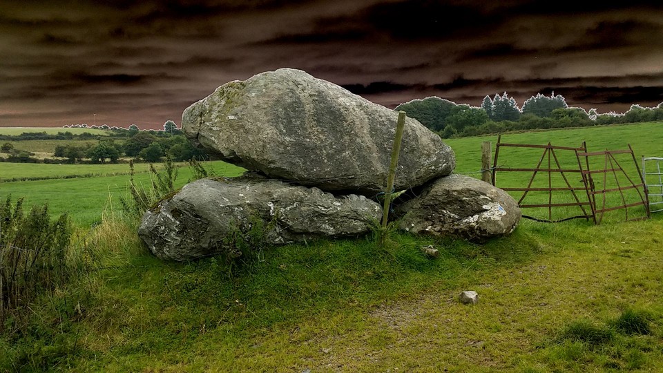
The coordinates given are incorrect, it is almost impossible to find as in the middle of a very wooded area, you need to turn right inside the gate and walk about 100m before heading perpendicular to the road

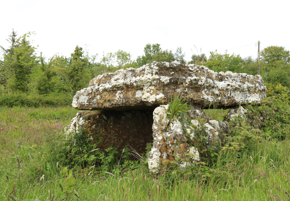
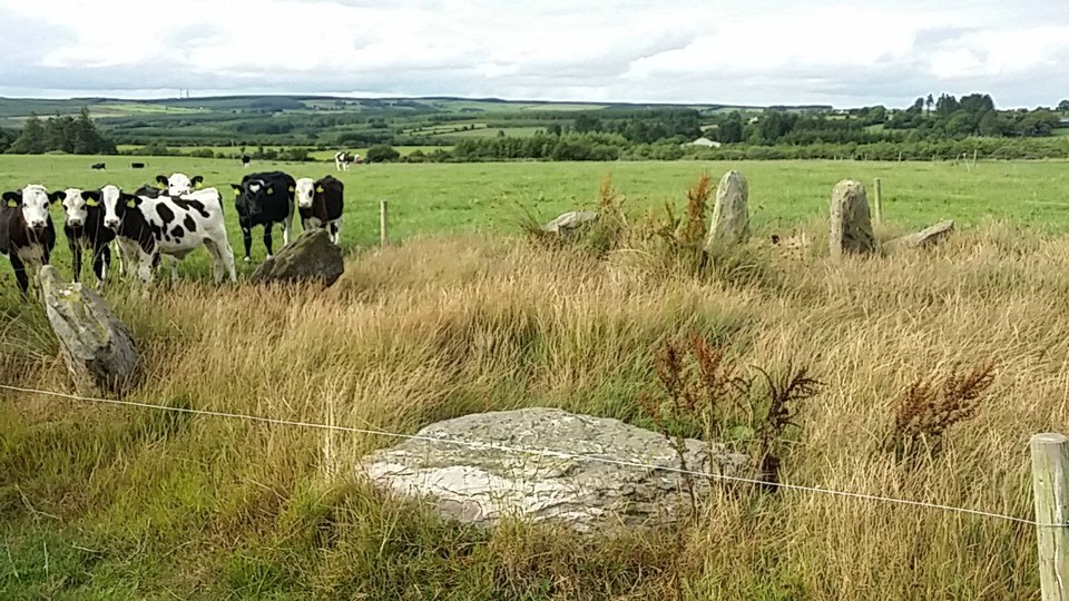
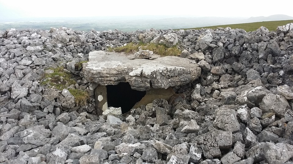
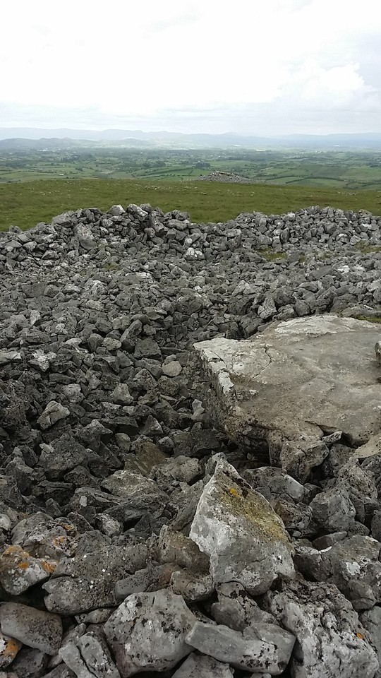
Correct GPS co-ordinates are
53.93443 N
08.51391 W

Clogher (Stone Fort / Dun) — Images

<b>Clogher</b>Posted by bogman<b>Clogher</b>Posted by bogman<b>Clogher</b>Posted by bogman<b>Clogher</b>Posted by bogman<b>Clogher</b>Posted by bogman<b>Clogher</b>Posted by bogman

Caherconree (Stone Fort / Dun) — Images

<b>Caherconree</b>Posted by bogman

Caherconree (Stone Fort / Dun) — Fieldnotes

On my must visit list, too late to make it this time, may take up to 90 minutes to climb the mountain, when weather is good its possible to see Loop head in Co. Clare from the fort

Littlegrange (Passage Grave) — Images

<b>Littlegrange</b>Posted by bogman<b>Littlegrange</b>Posted by bogman<b>Littlegrange</b>Posted by bogman

Cunard (Portal Tomb) — Images

<b>Cunard</b>Posted by bogman<b>Cunard</b>Posted by bogman<b>Cunard</b>Posted by bogman

Ballybrittas (Portal Tomb) — Fieldnotes

Locals were a good help directing me to this, continue up the unpaved track just beyond the yard full of old vehicles, take the gate to the left and continue all the way to the end of the field, the portal is just about visible, almost hidden in the gorse, looks like it hadn't been visited in a long time, cleared a path around the tomb
Exact location
52.25.44.3 N 06.38.12.7 W

Ballybrittas (Portal Tomb) — Images

<b>Ballybrittas</b>Posted by bogman<b>Ballybrittas</b>Posted by bogman<b>Ballybrittas</b>Posted by bogman<b>Ballybrittas</b>Posted by bogman<b>Ballybrittas</b>Posted by bogman<b>Ballybrittas</b>Posted by bogman<b>Ballybrittas</b>Posted by bogman

Doorus (Wedge Tomb) — Images

<b>Doorus</b>Posted by bogman<b>Doorus</b>Posted by bogman<b>Doorus</b>Posted by bogman<b>Doorus</b>Posted by bogman

Derrycallan (Wedge Tomb) — Images

<b>Derrycallan</b>Posted by bogman<b>Derrycallan</b>Posted by bogman<b>Derrycallan</b>Posted by bogman

Cullaba Lake (Standing Stones) — Images

<b>Cullaba Lake</b>Posted by bogman<b>Cullaba Lake</b>Posted by bogman<b>Cullaba Lake</b>Posted by bogman<b>Cullaba Lake</b>Posted by bogman

Cullaba Lake (Standing Stones) — Fieldnotes

Two standing stones at the end of a stony pathway beyond a water treatment plant, please close the gates, the stones are adjacent to each other next to a lovely lake with beautiful scenery, very secluded settings

http://wikimapia.org/7874044/Cullaba-Hill-603m

Derrynafinchin (Stone Circle) — Images

<b>Derrynafinchin</b>Posted by bogman<b>Derrynafinchin</b>Posted by bogman

Mill Little (Stone Circle) — Images

<b>Mill Little</b>Posted by bogman<b>Mill Little</b>Posted by bogman<b>Mill Little</b>Posted by bogman<b>Mill Little</b>Posted by bogman<b>Mill Little</b>Posted by bogman<b>Mill Little</b>Posted by bogman

Gurteen (Standing Stone / Menhir) — Images

<b>Gurteen</b>Posted by bogman
Showing 1-50 of 1,522 posts. Most recent first | Next 50

My TMA Content: